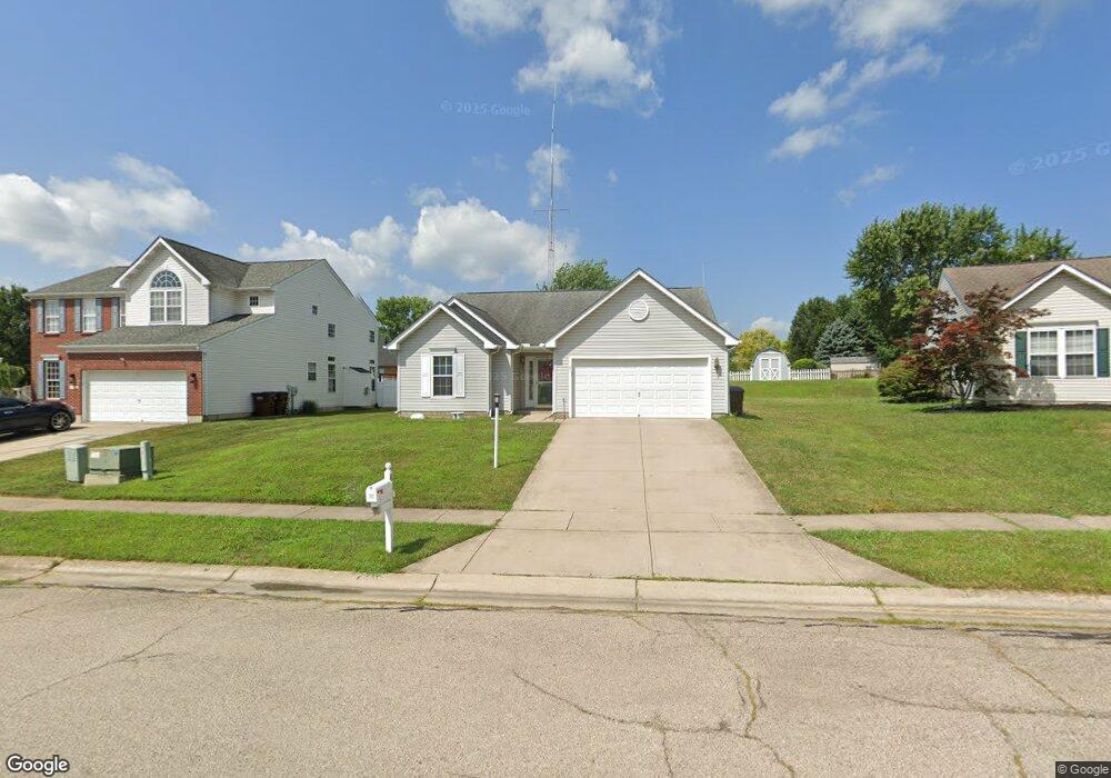
61 Lance Dr Franklin, OH 45005
Estimated Value: $268,000 - $311,000
3
Beds
2
Baths
1,350
Sq Ft
$213/Sq Ft
Est. Value
About This Home
This home is located at 61 Lance Dr, Franklin, OH 45005 and is currently estimated at $288,104, approximately $213 per square foot. 61 Lance Dr is a home located in Warren County with nearby schools including Franklin High School.
Ownership History
Date
Name
Owned For
Owner Type
Purchase Details
Closed on
Sep 10, 2012
Sold by
Hodges Timothy L and Hodges Janie Lee
Bought by
Hodges Timothy L and Hodges Janie Lee
Current Estimated Value
Home Financials for this Owner
Home Financials are based on the most recent Mortgage that was taken out on this home.
Original Mortgage
$116,900
Interest Rate
3.55%
Mortgage Type
Future Advance Clause Open End Mortgage
Purchase Details
Closed on
Jul 14, 2000
Sold by
N V R Inc
Bought by
Hodges Timothy L and Hodges Hathe J
Home Financials for this Owner
Home Financials are based on the most recent Mortgage that was taken out on this home.
Original Mortgage
$111,243
Interest Rate
8.55%
Mortgage Type
New Conventional
Purchase Details
Closed on
Mar 30, 2000
Sold by
Henderson Const Inc
Bought by
N V R Inc
Create a Home Valuation Report for This Property
The Home Valuation Report is an in-depth analysis detailing your home's value as well as a comparison with similar homes in the area
Home Values in the Area
Average Home Value in this Area
Purchase History
| Date | Buyer | Sale Price | Title Company |
|---|---|---|---|
| Hodges Timothy L | -- | None Available | |
| Hodges Timothy L | $123,604 | -- | |
| N V R Inc | $23,000 | -- |
Source: Public Records
Mortgage History
| Date | Status | Borrower | Loan Amount |
|---|---|---|---|
| Previous Owner | Hodges Timothy L | $116,900 | |
| Previous Owner | Hodges Timothy L | $111,243 |
Source: Public Records
Tax History
| Year | Tax Paid | Tax Assessment Tax Assessment Total Assessment is a certain percentage of the fair market value that is determined by local assessors to be the total taxable value of land and additions on the property. | Land | Improvement |
|---|---|---|---|---|
| 2025 | $3,093 | $75,480 | $24,500 | $50,980 |
| 2024 | $3,093 | $75,480 | $24,500 | $50,980 |
| 2023 | $2,477 | $55,860 | $12,390 | $43,470 |
| 2022 | $2,429 | $55,860 | $12,390 | $43,470 |
| 2021 | $2,304 | $55,860 | $12,390 | $43,470 |
| 2020 | $2,141 | $47,338 | $10,500 | $36,838 |
| 2019 | $1,948 | $47,338 | $10,500 | $36,838 |
| 2018 | $1,914 | $47,338 | $10,500 | $36,838 |
| 2017 | $1,735 | $40,138 | $9,041 | $31,098 |
| 2016 | $1,898 | $40,138 | $9,041 | $31,098 |
| 2015 | $1,904 | $40,138 | $9,041 | $31,098 |
| 2014 | $1,845 | $38,970 | $8,780 | $30,190 |
| 2013 | $1,475 | $46,610 | $10,500 | $36,110 |
Source: Public Records
Map
Nearby Homes
- 657 E 2nd St
- 33 Stadia Dr
- 651 E 2nd St
- 551 E 2nd St
- 0 Victoria Dr Unit 942075
- 0 Victoria Dr Unit 1852824
- 747 David Blvd
- 760 David Blvd
- 409 Millard Dr
- 228 Bridge St
- 202 E 2nd St
- 5 S River St
- 388 Thomas Dr
- 114 Fairview Dr
- 995 E 4th St
- 205 Oxford Rd
- 5711 Fairview Dr
- 0 E 4th St
- 533 Spring Ave
- 309 Oxford Rd
Your Personal Tour Guide
Ask me questions while you tour the home.