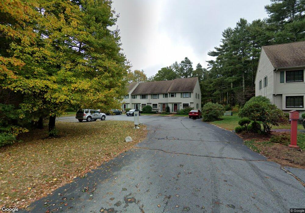
61 Minot Ave Unit A Wareham, MA 02571
Estimated Value: $373,000 - $401,000
2
Beds
2
Baths
1,197
Sq Ft
$323/Sq Ft
Est. Value
About This Home
This home is located at 61 Minot Ave Unit A, Wareham, MA 02571 and is currently estimated at $386,354, approximately $322 per square foot. 61 Minot Ave Unit A is a home located in Plymouth County.
Ownership History
Date
Name
Owned For
Owner Type
Purchase Details
Closed on
Jul 26, 2024
Sold by
Charles W Ruel Int W and Charles Ruel
Bought by
Ruel Thomas G
Current Estimated Value
Home Financials for this Owner
Home Financials are based on the most recent Mortgage that was taken out on this home.
Original Mortgage
$343,660
Outstanding Balance
$339,274
Interest Rate
7.7%
Mortgage Type
FHA
Estimated Equity
$47,080
Purchase Details
Closed on
Jul 25, 2024
Sold by
Ruel Thomas G
Bought by
Souza Louis F and Souza Jacqueline
Home Financials for this Owner
Home Financials are based on the most recent Mortgage that was taken out on this home.
Original Mortgage
$343,660
Outstanding Balance
$339,274
Interest Rate
7.7%
Mortgage Type
FHA
Estimated Equity
$47,080
Purchase Details
Closed on
May 3, 1995
Sold by
Bristol Oaks Lp and Bgo Inc
Bought by
Ruel Charles W
Purchase Details
Closed on
Apr 21, 1994
Sold by
Cerveniak Terry J
Bought by
Citicorp Mtg Inc
Purchase Details
Closed on
Jul 13, 1990
Sold by
Scott Alden N
Bought by
Cerveniak Terry J
Home Financials for this Owner
Home Financials are based on the most recent Mortgage that was taken out on this home.
Original Mortgage
$77,850
Interest Rate
10.17%
Mortgage Type
Purchase Money Mortgage
Create a Home Valuation Report for This Property
The Home Valuation Report is an in-depth analysis detailing your home's value as well as a comparison with similar homes in the area
Purchase History
| Date | Buyer | Sale Price | Title Company |
|---|---|---|---|
| Ruel Thomas G | -- | None Available | |
| Ruel Thomas G | -- | None Available | |
| Souza Louis F | $350,000 | None Available | |
| Souza Louis F | $350,000 | None Available | |
| Souza Louis F | $350,000 | None Available | |
| Ruel Charles W | $55,000 | -- | |
| Bristol Oaks Lp | $58,050 | -- | |
| Bristol Oaks Lp | $58,050 | -- | |
| Citicorp Mtg Inc | $45,500 | -- | |
| Citicorp Mtg Inc | $45,500 | -- | |
| Cerveniak Terry J | $86,500 | -- | |
| Cerveniak Terry J | $86,500 | -- |
Source: Public Records
Mortgage History
| Date | Status | Borrower | Loan Amount |
|---|---|---|---|
| Open | Souza Louis F | $343,660 | |
| Closed | Souza Louis F | $343,660 | |
| Previous Owner | Cerveniak Terry J | $77,850 |
Source: Public Records
Tax History
| Year | Tax Paid | Tax Assessment Tax Assessment Total Assessment is a certain percentage of the fair market value that is determined by local assessors to be the total taxable value of land and additions on the property. | Land | Improvement |
|---|---|---|---|---|
| 2025 | $2,997 | $287,600 | $0 | $287,600 |
| 2024 | $3,234 | $288,000 | $0 | $288,000 |
| 2023 | $2,935 | $251,200 | $0 | $251,200 |
| 2022 | $2,935 | $222,700 | $0 | $222,700 |
| 2021 | $2,861 | $212,700 | $0 | $212,700 |
| 2020 | $2,685 | $202,500 | $0 | $202,500 |
| 2019 | $2,271 | $170,900 | $0 | $170,900 |
| 2018 | $2,410 | $176,800 | $0 | $176,800 |
| 2017 | $2,378 | $176,800 | $0 | $176,800 |
| 2016 | $2,084 | $154,000 | $0 | $154,000 |
| 2015 | $2,192 | $167,700 | $0 | $167,700 |
| 2014 | $2,259 | $175,800 | $0 | $175,800 |
Source: Public Records
Map
Nearby Homes
- 55 Minot Ave Unit 55
- 10 Oak St
- 156 Sandwich Rd
- 124 Minot Ave Unit 1
- 3 Hazel St
- 7 Knowles Ave
- 2697 Cranberry Hwy Unit 23
- 2838 Cranberry Hwy
- 103 Kimberly Ct
- 2711 Cranberry Hwy
- 1 Gibbs Ball Park Rd
- 0 Squaw's Path
- 9 Old Glen Charlie Rd
- 106 Circuit Ave
- 391 Onset Ave
- 2645 Cranberry Hwy Unit A
- 110 Mayflower Ridge Dr
- 2900 Cranberry Hwy Unit 17
- 91 Agawam Lake Shore Dr
- 15 Broadmarsh Ave
- 61 Minot Ave Unit C
- 61 Minot Ave Unit B
- 61 Minot Ave
- 61 Minot Ave Unit 61
- 61 Minot Ave Unit 1
- 59 Minot Ave Unit 7
- 59 Minot Ave Unit C
- 59 Minot Ave Unit B
- 59 Minot Ave Unit A
- 59 Minot Ave
- 59 Minot Ave Unit 59
- 59 Minot Ave
- 57 Minot Ave
- 57 Minot Ave Unit C
- 57 Minot Ave Unit B
- 57 Minot Ave Unit A
- 57 Minot Ave
- 57 Minot Ave Unit 12
- 57 Minot Ave
- 57 Minot Ave Unit 9
Your Personal Tour Guide
Ask me questions while you tour the home.