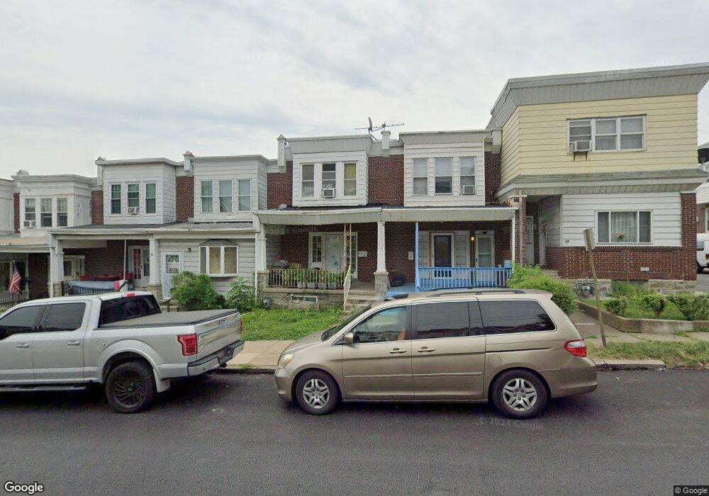
61 N State Rd Upper Darby, PA 19082
Estimated Value: $192,236 - $247,000
2
Beds
2
Baths
1,488
Sq Ft
$143/Sq Ft
Est. Value
About This Home
This home is located at 61 N State Rd, Upper Darby, PA 19082 and is currently estimated at $212,809, approximately $143 per square foot. 61 N State Rd is a home located in Delaware County with nearby schools including Charles Kelly El School, Upper Darby High School, and West Philadelphia Achievement Charter Elementary School.
Ownership History
Date
Name
Owned For
Owner Type
Purchase Details
Closed on
Dec 29, 2004
Sold by
Gallagher Paul
Bought by
Sapp Rayvon
Current Estimated Value
Home Financials for this Owner
Home Financials are based on the most recent Mortgage that was taken out on this home.
Original Mortgage
$79,920
Outstanding Balance
$42,710
Interest Rate
6.75%
Mortgage Type
Fannie Mae Freddie Mac
Estimated Equity
$170,099
Purchase Details
Closed on
Mar 29, 2002
Sold by
Gallagher Bernard J and Gallagher Kathleen
Bought by
Gallagher Paul
Home Financials for this Owner
Home Financials are based on the most recent Mortgage that was taken out on this home.
Original Mortgage
$26,000
Interest Rate
6.88%
Create a Home Valuation Report for This Property
The Home Valuation Report is an in-depth analysis detailing your home's value as well as a comparison with similar homes in the area
Home Values in the Area
Average Home Value in this Area
Purchase History
| Date | Buyer | Sale Price | Title Company |
|---|---|---|---|
| Sapp Rayvon | $99,900 | -- | |
| Gallagher Paul | $30,000 | Commonwealth Land Title Ins |
Source: Public Records
Mortgage History
| Date | Status | Borrower | Loan Amount |
|---|---|---|---|
| Open | Sapp Rayvon | $79,920 | |
| Previous Owner | Gallagher Paul | $26,000 |
Source: Public Records
Tax History Compared to Growth
Tax History
| Year | Tax Paid | Tax Assessment Tax Assessment Total Assessment is a certain percentage of the fair market value that is determined by local assessors to be the total taxable value of land and additions on the property. | Land | Improvement |
|---|---|---|---|---|
| 2025 | $3,265 | $77,210 | $20,480 | $56,730 |
| 2024 | $3,265 | $77,210 | $20,480 | $56,730 |
| 2023 | $3,235 | $77,210 | $20,480 | $56,730 |
| 2022 | $3,148 | $77,210 | $20,480 | $56,730 |
| 2021 | $4,244 | $77,210 | $20,480 | $56,730 |
| 2020 | $3,229 | $49,920 | $12,800 | $37,120 |
| 2019 | $3,172 | $49,920 | $12,800 | $37,120 |
| 2018 | $3,136 | $49,920 | $0 | $0 |
| 2017 | $3,054 | $49,920 | $0 | $0 |
| 2016 | $274 | $49,920 | $0 | $0 |
| 2015 | $274 | $49,920 | $0 | $0 |
| 2014 | $274 | $49,920 | $0 | $0 |
Source: Public Records
Map
Nearby Homes
- 24 Sunshine Rd
- 7502 Parkview Rd
- 9 Berbro Ave
- 18 Elm Ave
- 7409 Miller Ave
- 29 College Ave
- 26 New St
- 46 S State Rd
- 107 S Keystone Ave
- 207 Berbro Ave
- 25 N Pennock Ave
- 41 N Keystone Ave
- 105 N Fairview Ave
- 77 N Keystone Ave
- 512 Fairfield Ave
- 7920 W Chester Pike
- 1314 Farrington Rd
- 7226 Penarth Ave
- 171 N Carol Blvd
- 1304 N 76th St
- 61 N State Rd Unit First floor and Base
- 63 N State Rd
- 59 N State Rd
- 65 N State Rd
- 67 N State Rd
- 69 N State Rd
- 57 N State Rd
- 71 N State Rd
- 55 N State Rd
- 44 Sunshine Rd
- 42 Sunshine Rd
- 73 N State Rd
- 46 Sunshine Rd
- 53 N State Rd
- 48 Sunshine Rd
- 75 N State Rd
- 50 Sunshine Rd
- 51 N State Rd
- 40 Sunshine Rd
- 52 Sunshine Rd