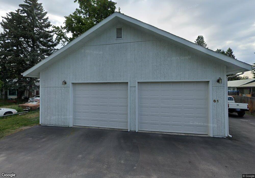
61 Tahoe Dr Kalispell, MT 59901
Estimated Value: $387,111 - $402,000
3
Beds
1
Bath
1,028
Sq Ft
$383/Sq Ft
Est. Value
About This Home
This home is located at 61 Tahoe Dr, Kalispell, MT 59901 and is currently estimated at $393,278, approximately $382 per square foot. 61 Tahoe Dr is a home located in Flathead County with nearby schools including Cornelius Hedges School, Flathead High School, and Woodland Montessori School.
Ownership History
Date
Name
Owned For
Owner Type
Purchase Details
Closed on
Jan 11, 2022
Sold by
Dale Wochnick
Bought by
Wochnick Separate Property Trust
Current Estimated Value
Purchase Details
Closed on
Sep 13, 2007
Sold by
Milliren Michael D
Bought by
Wochnick Dale
Home Financials for this Owner
Home Financials are based on the most recent Mortgage that was taken out on this home.
Original Mortgage
$122,298
Interest Rate
6.61%
Mortgage Type
New Conventional
Create a Home Valuation Report for This Property
The Home Valuation Report is an in-depth analysis detailing your home's value as well as a comparison with similar homes in the area
Home Values in the Area
Average Home Value in this Area
Purchase History
| Date | Buyer | Sale Price | Title Company |
|---|---|---|---|
| Wochnick Separate Property Trust | -- | Tanko Brian C | |
| Wochnick Dale | -- | Insured Titles |
Source: Public Records
Mortgage History
| Date | Status | Borrower | Loan Amount |
|---|---|---|---|
| Previous Owner | Wochnick Dale | $122,298 |
Source: Public Records
Tax History Compared to Growth
Tax History
| Year | Tax Paid | Tax Assessment Tax Assessment Total Assessment is a certain percentage of the fair market value that is determined by local assessors to be the total taxable value of land and additions on the property. | Land | Improvement |
|---|---|---|---|---|
| 2025 | $1,350 | $367,700 | $0 | $0 |
| 2024 | $2,007 | $305,600 | $0 | $0 |
| 2023 | $2,052 | $305,600 | $0 | $0 |
| 2022 | $2,037 | $235,500 | $0 | $0 |
| 2021 | $2,160 | $235,500 | $0 | $0 |
| 2020 | $1,695 | $182,400 | $0 | $0 |
| 2019 | $1,690 | $182,400 | $0 | $0 |
| 2018 | $1,419 | $145,500 | $0 | $0 |
| 2017 | $1,425 | $145,500 | $0 | $0 |
| 2016 | $938 | $103,100 | $0 | $0 |
| 2015 | $950 | $103,100 | $0 | $0 |
| 2014 | $1,011 | $66,356 | $0 | $0 |
Source: Public Records
Map
Nearby Homes
- 348 College Ave Unit 8
- 265 Caroline Rd
- 100 Woodlands Way Unit S401
- 100 Woodlands Way Unit P-408
- 100 Woodlands Way Unit B-404
- 100 Woodlands Way Unit P-307
- 100 Woodlands Way Unit S305
- 100 Woodlands Way Unit P-406
- 100 Woodlands Way Unit S405
- 100 Woodlands Way Unit B212
- 100 Woodlands Way Unit S-404
- 712 Conrad Dr
- 270 Caroline Rd
- 1100 E Oregon St Unit 13
- 847 E Washington St
- 504 6th Ave E
- 278 7th Ave W
- 1000 Rail Park Dr
- 835 7th Ave E
- 51 Selders Ln