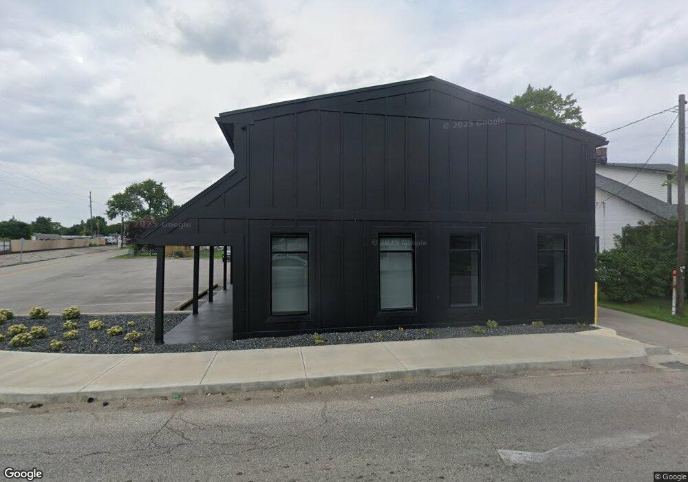
610 E Main St Whiteland, IN 46184
Estimated Value: $301,946
Studio
--
Bath
2,312
Sq Ft
$131/Sq Ft
Est. Value
About This Home
This home is located at 610 E Main St, Whiteland, IN 46184 and is currently estimated at $301,946, approximately $130 per square foot. 610 E Main St is a home located in Johnson County with nearby schools including Whiteland Elementary School, Clark-Pleasant Middle School, and Whiteland Community High School.
Ownership History
Date
Name
Owned For
Owner Type
Purchase Details
Closed on
Mar 15, 2022
Sold by
C & C Property Group Llc
Bought by
Basic Realty Llc
Current Estimated Value
Purchase Details
Closed on
Oct 30, 2018
Sold by
Brown Terri
Bought by
C & C Property Group Llc
Home Financials for this Owner
Home Financials are based on the most recent Mortgage that was taken out on this home.
Original Mortgage
$130,500
Interest Rate
4.7%
Mortgage Type
New Conventional
Create a Home Valuation Report for This Property
The Home Valuation Report is an in-depth analysis detailing your home's value as well as a comparison with similar homes in the area
Home Values in the Area
Average Home Value in this Area
Purchase History
| Date | Buyer | Sale Price | Title Company |
|---|---|---|---|
| Basic Realty Llc | -- | Security Title | |
| C & C Property Group Llc | -- | None Available |
Source: Public Records
Mortgage History
| Date | Status | Borrower | Loan Amount |
|---|---|---|---|
| Previous Owner | C & C Property Group Llc | $130,500 |
Source: Public Records
Tax History
| Year | Tax Paid | Tax Assessment Tax Assessment Total Assessment is a certain percentage of the fair market value that is determined by local assessors to be the total taxable value of land and additions on the property. | Land | Improvement |
|---|---|---|---|---|
| 2025 | $2,928 | $227,200 | $67,100 | $160,100 |
| 2024 | $2,928 | $135,500 | $68,300 | $67,200 |
| 2023 | $1,606 | $132,200 | $68,300 | $63,900 |
| 2022 | $3,161 | $132,200 | $68,300 | $63,900 |
| 2021 | $2,897 | $118,000 | $67,000 | $51,000 |
| 2020 | $2,905 | $114,200 | $63,200 | $51,000 |
| 2019 | $2,870 | $111,200 | $60,200 | $51,000 |
| 2018 | $2,968 | $111,200 | $60,200 | $51,000 |
| 2017 | $2,914 | $109,900 | $60,200 | $49,700 |
| 2016 | $3,050 | $109,900 | $60,200 | $49,700 |
| 2014 | $3,101 | $108,500 | $60,200 | $48,300 |
| 2013 | $3,101 | $108,600 | $60,200 | $48,400 |
Source: Public Records
Map
Nearby Homes
- 650 E Pearl St
- 810 Pearl St
- 197 Briar Hill Dr
- 111 Ames Dr
- 131 Ames Dr
- 140 Ames Dr
- 801 Blaine Dr
- 60 Wilkins St
- 830 Saddlebrook Farms Blvd
- 40 Wilkins St
- 50 Wilkins St
- 657 Whiteland Rd
- 545 Whiteland Rd
- 70 Wilkins St
- 170 Ames Dr
- 181 Ames Dr
- 0 N 200 (Honey Creek Rd ) W Unit MBR21845718
- 930 Saddlebrook Farms Blvd
- 30 Benfield Dr
- 950 Saddlebrook Farms Blvd
Your Personal Tour Guide
Ask me questions while you tour the home.