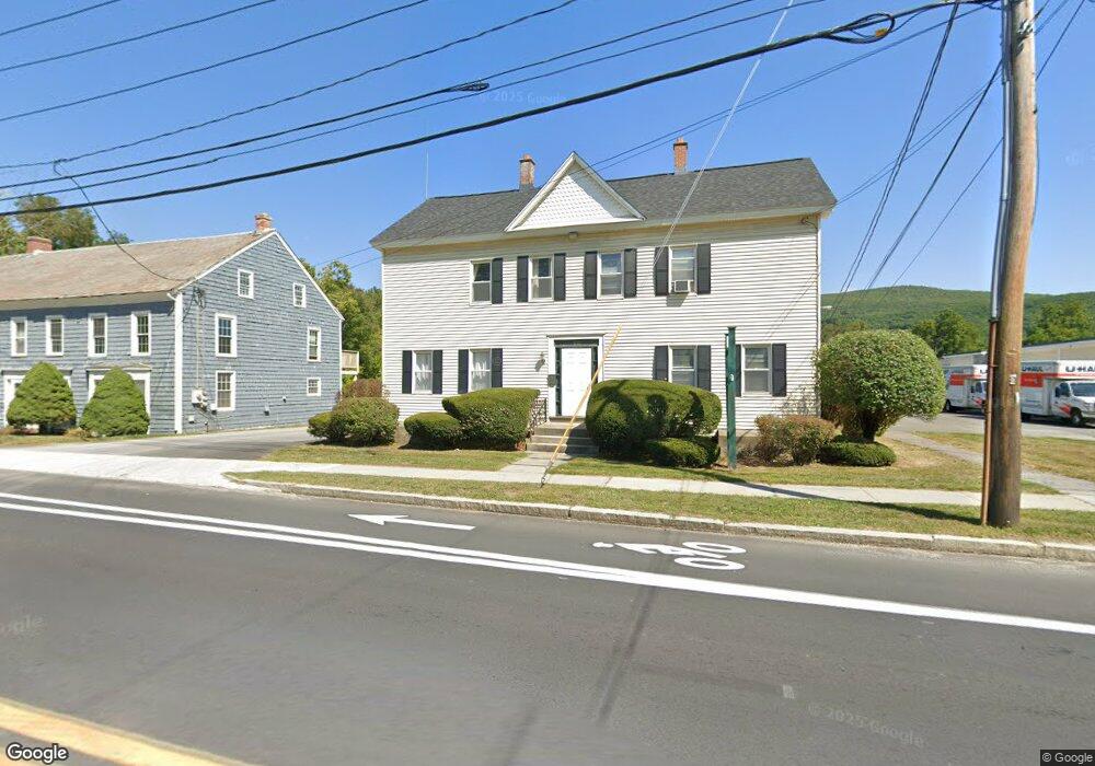
610 Main St Williamstown, MA 01267
Estimated Value: $221,395
6
Beds
2
Baths
2,824
Sq Ft
$78/Sq Ft
Est. Value
About This Home
This home is located at 610 Main St, Williamstown, MA 01267 and is currently estimated at $221,395, approximately $78 per square foot. 610 Main St is a home located in Berkshire County with nearby schools including Williamstown Elementary School, Mt. Greylock Regional High School, and Pine Cobble School.
Ownership History
Date
Name
Owned For
Owner Type
Purchase Details
Closed on
Dec 14, 2016
Sold by
Northern Pines Rt and Anderson
Bought by
Mga Realty Group Llc
Current Estimated Value
Purchase Details
Closed on
Sep 18, 1998
Sold by
Ward Gregory E and Ward Donald J
Bought by
Ward Gregory E and Ward Michael A
Purchase Details
Closed on
Nov 21, 1997
Sold by
Vilane Elissa M
Bought by
Ward Gregory E and Ward Donald J
Home Financials for this Owner
Home Financials are based on the most recent Mortgage that was taken out on this home.
Original Mortgage
$313,600
Interest Rate
7.17%
Mortgage Type
Commercial
Create a Home Valuation Report for This Property
The Home Valuation Report is an in-depth analysis detailing your home's value as well as a comparison with similar homes in the area
Home Values in the Area
Average Home Value in this Area
Purchase History
| Date | Buyer | Sale Price | Title Company |
|---|---|---|---|
| Mga Realty Group Llc | $125,000 | -- | |
| Mga Realty Group Llc | $125,000 | -- | |
| Mga Realty Group Llc | $125,000 | -- | |
| Ward Gregory E | $5,000 | -- | |
| Ward Gregory E | $5,000 | -- | |
| Ward Gregory E | $260,000 | -- | |
| Ward Gregory E | $260,000 | -- |
Source: Public Records
Mortgage History
| Date | Status | Borrower | Loan Amount |
|---|---|---|---|
| Previous Owner | Ward Gregory E | $30,000 | |
| Previous Owner | Ward Gregory E | $313,600 |
Source: Public Records
Tax History
| Year | Tax Paid | Tax Assessment Tax Assessment Total Assessment is a certain percentage of the fair market value that is determined by local assessors to be the total taxable value of land and additions on the property. | Land | Improvement |
|---|---|---|---|---|
| 2025 | $4,217 | $305,600 | $189,800 | $115,800 |
| 2024 | $4,359 | $287,700 | $177,700 | $110,000 |
| 2023 | $4,618 | $285,600 | $177,700 | $107,900 |
| 2022 | $4,365 | $258,000 | $171,000 | $87,000 |
| 2021 | $4,910 | $264,600 | $171,000 | $93,600 |
| 2020 | $4,666 | $265,100 | $171,500 | $93,600 |
| 2019 | $5,069 | $240,600 | $132,800 | $107,800 |
| 2018 | $4,316 | $240,600 | $132,800 | $107,800 |
| 2017 | $0 | $240,600 | $132,800 | $107,800 |
| 2016 | $3,799 | $240,600 | $132,800 | $107,800 |
| 2015 | $3,756 | $240,600 | $132,800 | $107,800 |
| 2014 | $3,542 | $231,800 | $140,600 | $91,200 |
Source: Public Records
Map
Nearby Homes
- 108 Berkshire Dr
- 87 Maple St
- 160 Water St Unit 209
- 160 Water St Unit 309
- 160 Water St Unit 23
- 160 Water St Unit 103
- 160 Water St Unit 407
- 189 Stratton Rd
- 189 Stratton Rd Unit H1
- 16 Windflower Way
- 111 Park St
- 34 Thistle Path
- 0 Holly Ln
- 100 N Hoosac Rd
- 148 South St
- 34 Jerome Dr
- 196 South St
- 0 Northwest Hill
- 542 Water St
- 584 Water St