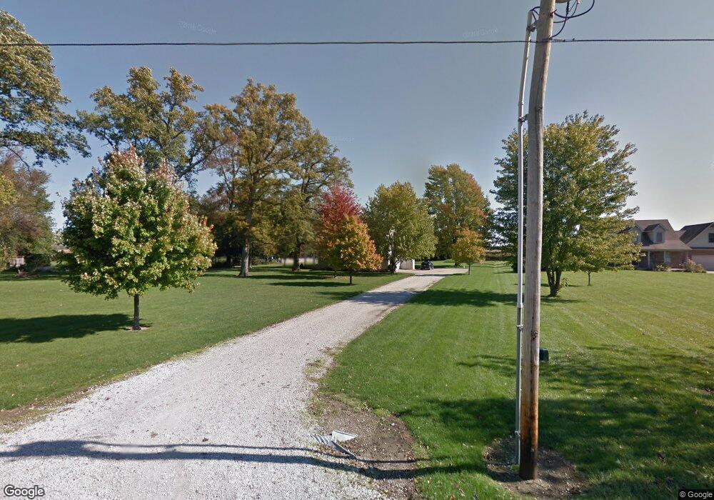
6100 S 425 W Pendleton, IN 46064
Estimated Value: $460,000 - $488,132
4
Beds
3
Baths
3,821
Sq Ft
$124/Sq Ft
Est. Value
About This Home
This home is located at 6100 S 425 W, Pendleton, IN 46064 and is currently estimated at $473,711, approximately $123 per square foot. 6100 S 425 W is a home located in Madison County with nearby schools including Pendleton Elementary School and Pendleton Heights Middle School.
Ownership History
Date
Name
Owned For
Owner Type
Purchase Details
Closed on
Mar 28, 2019
Sold by
Hoskins Brian N
Bought by
Watkins Kristin J
Current Estimated Value
Home Financials for this Owner
Home Financials are based on the most recent Mortgage that was taken out on this home.
Original Mortgage
$299,475
Outstanding Balance
$262,219
Interest Rate
4.4%
Mortgage Type
FHA
Estimated Equity
$211,492
Create a Home Valuation Report for This Property
The Home Valuation Report is an in-depth analysis detailing your home's value as well as a comparison with similar homes in the area
Home Values in the Area
Average Home Value in this Area
Purchase History
| Date | Buyer | Sale Price | Title Company |
|---|---|---|---|
| Watkins Kristin J | -- | Rowland Title |
Source: Public Records
Mortgage History
| Date | Status | Borrower | Loan Amount |
|---|---|---|---|
| Open | Watkins Kristin J | $299,475 |
Source: Public Records
Tax History
| Year | Tax Paid | Tax Assessment Tax Assessment Total Assessment is a certain percentage of the fair market value that is determined by local assessors to be the total taxable value of land and additions on the property. | Land | Improvement |
|---|---|---|---|---|
| 2025 | $3,268 | $353,200 | $41,900 | $311,300 |
| 2024 | $3,268 | $322,400 | $41,900 | $280,500 |
| 2023 | $3,178 | $298,200 | $39,900 | $258,300 |
| 2022 | $3,032 | $299,000 | $38,000 | $261,000 |
| 2021 | $2,575 | $257,500 | $38,000 | $219,500 |
| 2020 | $2,589 | $245,800 | $36,200 | $209,600 |
| 2019 | $2,461 | $244,900 | $36,200 | $208,700 |
| 2018 | $2,415 | $231,300 | $36,500 | $194,800 |
| 2017 | $2,253 | $216,000 | $33,800 | $182,200 |
| 2016 | $2,284 | $218,200 | $33,800 | $184,400 |
| 2014 | $2,340 | $223,100 | $33,800 | $189,300 |
| 2013 | $2,340 | $225,300 | $33,800 | $191,500 |
Source: Public Records
Map
Nearby Homes
- 291 Limerick Ln
- 224 Waterford Ln
- 110 W Water St
- 0 W State St
- 513 W State St
- 1000 East St
- 201 N East St
- 315 W High St
- 400 E Water St
- 227 Jefferson St
- 238 Jefferson St
- 3006 Huntsville Rd
- 425 Janis Ave
- 2730 Woodlawn Dr
- 6972 S 300 W
- 460 E Madison Ave
- 170 Warwick Way
- 621 S Silver St
- 5751 Bancroft Dr
- 5717 - 5721 W Sr 132
Your Personal Tour Guide
Ask me questions while you tour the home.