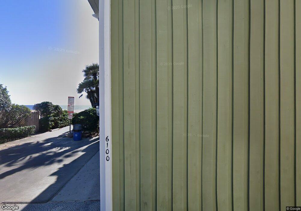
6100 W Oceanfront Newport Beach, CA 92663
West Newport Beach NeighborhoodEstimated Value: $3,300,000 - $4,414,000
2
Beds
3
Baths
2,544
Sq Ft
$1,470/Sq Ft
Est. Value
About This Home
This home is located at 6100 W Oceanfront, Newport Beach, CA 92663 and is currently estimated at $3,739,534, approximately $1,469 per square foot. 6100 W Oceanfront is a home located in Orange County with nearby schools including Newport Elementary School, Horace Ensign Intermediate School, and Newport Harbor High School.
Ownership History
Date
Name
Owned For
Owner Type
Purchase Details
Closed on
May 25, 2021
Sold by
Nardon Benedetta and Nardon Family Trust
Bought by
Nardon Benedetta and Nardon Family Trust
Current Estimated Value
Purchase Details
Closed on
Jun 1, 1995
Sold by
Nardon Benedetta
Bought by
Nardon Benedetta and United Credit Sub Trust
Create a Home Valuation Report for This Property
The Home Valuation Report is an in-depth analysis detailing your home's value as well as a comparison with similar homes in the area
Home Values in the Area
Average Home Value in this Area
Purchase History
| Date | Buyer | Sale Price | Title Company |
|---|---|---|---|
| Nardon Benedetta | -- | None Available | |
| Nardon Benedetta | -- | -- |
Source: Public Records
Tax History Compared to Growth
Tax History
| Year | Tax Paid | Tax Assessment Tax Assessment Total Assessment is a certain percentage of the fair market value that is determined by local assessors to be the total taxable value of land and additions on the property. | Land | Improvement |
|---|---|---|---|---|
| 2025 | $2,829 | $236,158 | $126,289 | $109,869 |
| 2024 | $2,829 | $231,528 | $123,813 | $107,715 |
| 2023 | $2,760 | $226,989 | $121,386 | $105,603 |
| 2022 | $2,709 | $222,539 | $119,006 | $103,533 |
| 2021 | $2,660 | $218,176 | $116,673 | $101,503 |
| 2020 | $2,634 | $215,939 | $115,476 | $100,463 |
| 2019 | $2,586 | $211,705 | $113,211 | $98,494 |
| 2018 | $3,218 | $207,554 | $110,991 | $96,563 |
| 2017 | $3,317 | $203,485 | $108,815 | $94,670 |
| 2016 | $3,271 | $199,496 | $106,682 | $92,814 |
| 2015 | $3,249 | $196,500 | $105,080 | $91,420 |
| 2014 | $3,185 | $192,651 | $103,021 | $89,630 |
Source: Public Records
Map
Nearby Homes
- 5901 Seashore Dr
- 235 62nd St
- 203 Cedar St Unit A & B
- 250 62nd St
- 259 62nd St
- 5512 Seashore Dr
- 327 62nd St
- 354 62nd St
- 210 1/2 Orange St
- 331 Walnut St
- 315 Lugonia St
- 237 Canal St
- 231 Canal St
- 5201 Seashore Dr
- 5119 River Ave
- 7104 W Oceanfront
- 204 David Dr
- 5007 Seashore Dr
- 4918 Seashore Dr
- 7210 W Oceanfront
- 6102 W Oceanfront
- 6104 W Oceanfront
- 6011 Seashore Dr
- 6101 Seashore Dr
- 6009 Seashore Dr
- 6106 W Oceanfront
- 6007 Seashore Dr
- 6111 Seashore Dr
- 6005 Seashore Dr
- 6003 Seashore Dr
- 6200 W Oceanfront
- 6001 Seashore Dr Unit B
- 6001 Seashore Dr
- 6202 W Oceanfront
- 6205 Seashore Dr
- 6204 W Oceanfront
- 5911 Seashore Dr
- 0 61st St Unit CV14020624
- 6206 W Oceanfront
- 5909 Seashore Dr
