6101 Mathews Ln Millstadt, IL 62260
Estimated Value: $259,000 - $885,379
--
Bed
--
Bath
1,134
Sq Ft
$441/Sq Ft
Est. Value
About This Home
This home is located at 6101 Mathews Ln, Millstadt, IL 62260 and is currently estimated at $500,095, approximately $441 per square foot. 6101 Mathews Ln is a home located in St. Clair County with nearby schools including Millstadt Consolidated School and Millstadt Primary Center.
Ownership History
Date
Name
Owned For
Owner Type
Purchase Details
Closed on
May 26, 2023
Sold by
Matthews Danny James and Matthews Rosemary Clara
Bought by
2K Family Farm Llc
Current Estimated Value
Home Financials for this Owner
Home Financials are based on the most recent Mortgage that was taken out on this home.
Original Mortgage
$390,000
Outstanding Balance
$379,685
Interest Rate
6.45%
Mortgage Type
Commercial
Estimated Equity
$120,410
Purchase Details
Closed on
Jan 11, 2019
Sold by
Mathews Danny James
Bought by
Mathews Rosemary C
Create a Home Valuation Report for This Property
The Home Valuation Report is an in-depth analysis detailing your home's value as well as a comparison with similar homes in the area
Home Values in the Area
Average Home Value in this Area
Purchase History
| Date | Buyer | Sale Price | Title Company |
|---|---|---|---|
| 2K Family Farm Llc | -- | Advanced Title Solutions | |
| Mathews Rosemary C | -- | Adams And Huetsch |
Source: Public Records
Mortgage History
| Date | Status | Borrower | Loan Amount |
|---|---|---|---|
| Open | 2K Family Farm Llc | $390,000 |
Source: Public Records
Tax History Compared to Growth
Tax History
| Year | Tax Paid | Tax Assessment Tax Assessment Total Assessment is a certain percentage of the fair market value that is determined by local assessors to be the total taxable value of land and additions on the property. | Land | Improvement |
|---|---|---|---|---|
| 2024 | $5,818 | $88,561 | $16,277 | $72,284 |
| 2023 | $5,198 | $86,634 | $14,157 | $72,477 |
| 2022 | $4,909 | $79,342 | $12,231 | $67,111 |
| 2021 | $1,492 | $73,497 | $10,525 | $62,972 |
| 2020 | $1,478 | $66,726 | $8,916 | $57,810 |
| 2019 | $1,401 | $65,492 | $7,682 | $57,810 |
| 2018 | $3,951 | $62,664 | $6,466 | $56,198 |
| 2017 | $1,040 | $61,038 | $5,424 | $55,614 |
| 2016 | $844 | $56,723 | $4,749 | $51,974 |
| 2014 | $686 | $53,742 | $3,463 | $50,279 |
| 2013 | $180 | $51,607 | $3,256 | $48,351 |
Source: Public Records
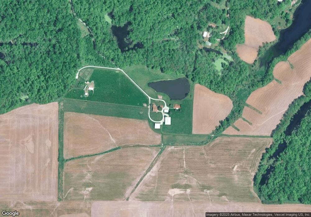
Map
Nearby Homes
- 5 Mozart Place
- 6264 Roachtown Rd
- 6409 Balsam Ridge
- 125 Gladwyn Dr
- 201 Adderly Ln
- 5755 Briars Landing
- 113 Adderly Ln
- 32 Adderly Ln
- 19 Adderly Ln
- 4904 Barnwood Ln
- 4900 Barnwood Ln
- 130 Regency Place
- 87 Regency Place
- 334 Spring Lake Rd
- 339 E Mill St
- 802 S Jackson St
- 109 E Mill St
- 109 E Gooding St
- 101 E Gooding St
- 103 W Madison St
- 4316 Urbana Rd
- 4316 Urbana Rd
- 4344 Urbana Rd
- 4434 Urbana Rd
- 4434 Urbana Rd
- 0 Urbana Rd
- 4187 Urbana Rd
- 4263 Douglas Rd
- 4153 Urbana Rd
- 4122 Urbana Rd
- 4123 Urbana Rd
- 6000 Cart Rd
- 4303 Douglas Rd
- 6360 Kaskaskia Rd
- 6403 Kaskaskia Rd
- 1 Executive Dr
- 4048 Old Urbana Rd
- 6370 Kaskaskia Rd
- 4425 Douglas Rd
- 9 Executive Dr