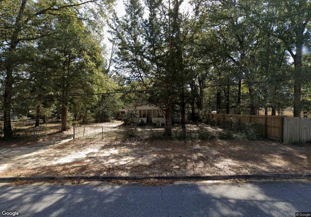
611 E Robinson Ave Crestview, FL 32539
Estimated Value: $80,000 - $216,000
2
Beds
2
Baths
1,142
Sq Ft
$135/Sq Ft
Est. Value
About This Home
This home is located at 611 E Robinson Ave, Crestview, FL 32539 and is currently estimated at $154,024, approximately $134 per square foot. 611 E Robinson Ave is a home located in Okaloosa County with nearby schools including Riverside Elementary School, Shoal River Middle School, and Crestview High School.
Ownership History
Date
Name
Owned For
Owner Type
Purchase Details
Closed on
Oct 28, 2024
Sold by
Boling Mary F
Bought by
Boling Mary F and Kervin Mary L
Current Estimated Value
Purchase Details
Closed on
Sep 8, 2020
Sold by
Boling Mary F and Kervin Mary L
Bought by
Boling Mary F and Kervin Mary L
Purchase Details
Closed on
Sep 2, 2020
Sold by
Boling Mary F and Boling Billie C
Bought by
Boling Mary F and Kervin Mary L
Purchase Details
Closed on
Aug 2, 2018
Sold by
Boling Mary F and Boling Billie C
Bought by
Boling Mary L and Kervin Mary F
Purchase Details
Closed on
Dec 6, 2006
Sold by
Boling Mary F
Bought by
Boling Mary F and Kervin Mary L
Create a Home Valuation Report for This Property
The Home Valuation Report is an in-depth analysis detailing your home's value as well as a comparison with similar homes in the area
Home Values in the Area
Average Home Value in this Area
Purchase History
| Date | Buyer | Sale Price | Title Company |
|---|---|---|---|
| Boling Mary F | $100 | None Listed On Document | |
| Boling Mary F | $100 | None Listed On Document | |
| Kervin Mary L | $100 | Powell Ava | |
| Boling Mary F | -- | Accommodation | |
| Boling Mary L | $100 | None Listed On Document | |
| Boling Mary L | $100 | Powell Ava | |
| Boling Mary F | -- | Attorney | |
| Boling Mary F | -- | Attorney |
Source: Public Records
Tax History
| Year | Tax Paid | Tax Assessment Tax Assessment Total Assessment is a certain percentage of the fair market value that is determined by local assessors to be the total taxable value of land and additions on the property. | Land | Improvement |
|---|---|---|---|---|
| 2025 | -- | $44,788 | -- | -- |
| 2024 | -- | $43,526 | -- | -- |
| 2023 | $0 | $42,258 | $0 | $0 |
| 2022 | $0 | $41,027 | $0 | $0 |
| 2021 | $0 | $39,832 | $0 | $0 |
| 2020 | $0 | $39,282 | $0 | $0 |
| 2019 | $0 | $38,399 | $0 | $0 |
| 2018 | $0 | $37,683 | $0 | $0 |
| 2017 | $0 | $36,908 | $0 | $0 |
| 2016 | $0 | $36,149 | $0 | $0 |
| 2015 | -- | $35,898 | $0 | $0 |
| 2014 | -- | $35,613 | $0 | $0 |
Source: Public Records
Map
Nearby Homes
- 585 Brock Ave
- 515 E Robinson Ave
- 658 Lee Ave
- 556 Lee Ave
- 609 E Edney Ave
- 860 S Rayburn St
- 401-409 Brock Ave
- 402 Church St
- TBD Patriot Ln
- 68+Acres Patriot Ln
- 873 S Brett St
- 451 E Cane Ave
- 10 Flora Cove
- 981 E Chestnut Ave
- 216 Brookmeade Dr
- 922 E Edney Ave
- 749 Amos St
- 2928 Aplin Rd
- 2928 Aplin (33 Ac ) Rd
- 795 Bay St
- 613 E Robinson Ave
- 503 Crossland St
- 501 Crossland St
- 624 E Robinson Ave
- 635 E Robinson Ave
- 624 E Williams Ave
- 612 E Robinson Ave
- 628 E Robinson Ave
- 662 E Williams Ave
- 497 Crossland St
- 632 E Robinson Ave
- 665 E Robinson Ave
- 457 Crossland St
- 692B Williams Ave
- 692 E Williams Ave Unit B
- 692 E Williams Ave
- 587 E Robinson Ave
- 662 E Robinson Ave
- 613 Williams Ave Unit A-B
- 613 Williams Ave Unit A-B
Your Personal Tour Guide
Ask me questions while you tour the home.