611 High Point Dr Atkins, IA 52206
Estimated Value: $355,000 - $391,000
4
Beds
4
Baths
1,478
Sq Ft
$253/Sq Ft
Est. Value
About This Home
This home is located at 611 High Point Dr, Atkins, IA 52206 and is currently estimated at $373,628, approximately $252 per square foot. 611 High Point Dr is a home located in Benton County with nearby schools including Benton Community Senior High School.
Ownership History
Date
Name
Owned For
Owner Type
Purchase Details
Closed on
Jun 11, 2009
Sold by
Schoon Randy L and Schoon Laura K
Bought by
Brant Kim A and Brant Barbara A
Current Estimated Value
Home Financials for this Owner
Home Financials are based on the most recent Mortgage that was taken out on this home.
Original Mortgage
$161,000
Outstanding Balance
$102,542
Interest Rate
4.92%
Mortgage Type
New Conventional
Estimated Equity
$271,086
Purchase Details
Closed on
Feb 26, 2007
Sold by
Cbc Homes Inc
Bought by
Schoon Randy L and Schoon Laura K
Home Financials for this Owner
Home Financials are based on the most recent Mortgage that was taken out on this home.
Original Mortgage
$150,000
Interest Rate
6.28%
Mortgage Type
New Conventional
Purchase Details
Closed on
May 9, 2006
Sold by
Ralston Farms Llc
Bought by
Cbc Homes Inc
Home Financials for this Owner
Home Financials are based on the most recent Mortgage that was taken out on this home.
Original Mortgage
$186,000
Interest Rate
6.78%
Mortgage Type
Credit Line Revolving
Create a Home Valuation Report for This Property
The Home Valuation Report is an in-depth analysis detailing your home's value as well as a comparison with similar homes in the area
Home Values in the Area
Average Home Value in this Area
Purchase History
| Date | Buyer | Sale Price | Title Company |
|---|---|---|---|
| Brant Kim A | $211,000 | None Available | |
| Schoon Randy L | $206,500 | None Available | |
| Cbc Homes Inc | $25,000 | None Available |
Source: Public Records
Mortgage History
| Date | Status | Borrower | Loan Amount |
|---|---|---|---|
| Open | Brant Kim A | $161,000 | |
| Previous Owner | Schoon Randy L | $150,000 | |
| Previous Owner | Cbc Homes Inc | $186,000 |
Source: Public Records
Tax History Compared to Growth
Tax History
| Year | Tax Paid | Tax Assessment Tax Assessment Total Assessment is a certain percentage of the fair market value that is determined by local assessors to be the total taxable value of land and additions on the property. | Land | Improvement |
|---|---|---|---|---|
| 2025 | $4,078 | $307,400 | $52,400 | $255,000 |
| 2024 | $4,078 | $285,900 | $52,100 | $233,800 |
| 2023 | $3,836 | $285,900 | $52,100 | $233,800 |
| 2022 | $3,804 | $242,500 | $41,700 | $200,800 |
| 2021 | $3,804 | $242,500 | $41,700 | $200,800 |
| 2020 | $3,246 | $228,900 | $33,400 | $195,500 |
| 2019 | $3,260 | $228,900 | $33,400 | $195,500 |
| 2018 | $3,200 | $228,200 | $31,000 | $197,200 |
| 2017 | $3,204 | $228,200 | $31,000 | $197,200 |
| 2016 | $3,174 | $211,300 | $28,700 | $182,600 |
| 2015 | $3,174 | $211,300 | $28,700 | $182,600 |
| 2014 | $3,052 | $202,200 | $0 | $0 |
Source: Public Records
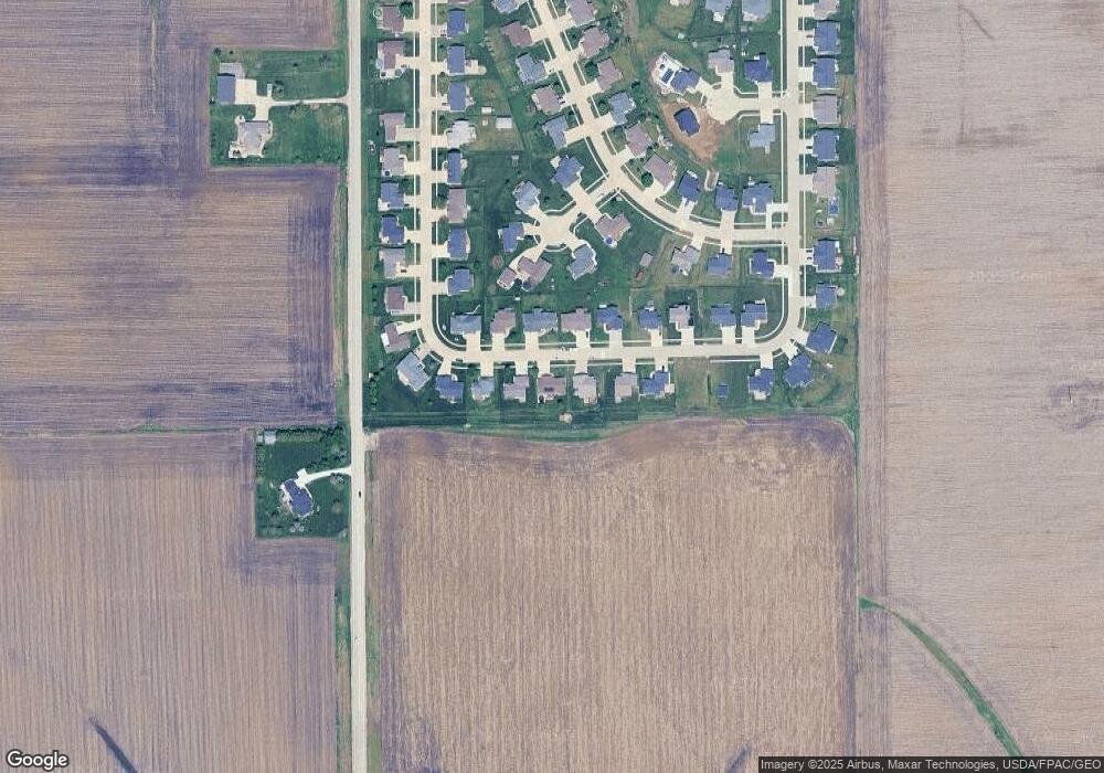
Map
Nearby Homes
- 622 Prairie Hill Dr
- 510 B Ave
- 335 B Ave
- 412 Tia St
- 205 2nd Ave
- 88 Main Ave
- 71 Railroad St
- 0.77 acre Railroad St
- 3200 75th St
- 0 Iowa 100
- 00
- 7806 Hillsboro Dr SW
- 7626 Country Ridge Dr NW
- 7608 Country Ridge Dr NW
- 2415 Prairie Knoll Ct NW
- 7509 Country Ridge Dr NW
- 7902 Wieneke Cir
- 202 Rockhurst Dr SW
- 6702 Country Ridge Dr NW
- 1527 Heartland St
- 611 High Point Dr
- 613 High Point Dr
- 615 High Point Dr
- 609 High Point Dr
- LOT 15 Highpoint Dr
- 622 High Point Dr
- 607 High Point Dr
- 610 High Point Dr
- 612 High Point Dr
- 608 High Point Dr
- 617 High Point Dr
- 614 High Point Dr
- 605 High Point Dr
- 606 High Point Dr
- 616 High Point Dr
- 443 Ridgeway Ct
- 444 Ridgeway Ct
- 530 Ridgeview Dr
- 537 Ridgeview Dr
- 618 High Point Dr