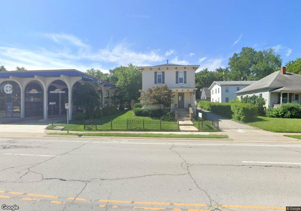
611 W 9th St Lawrence, KS 66044
Oread NeighborhoodEstimated Value: $393,000 - $483,553
3
Beds
2
Baths
2,016
Sq Ft
$227/Sq Ft
Est. Value
About This Home
This home is located at 611 W 9th St, Lawrence, KS 66044 and is currently estimated at $456,888, approximately $226 per square foot. 611 W 9th St is a home located in Douglas County with nearby schools including Cordley Elementary School, Liberty Memorial Central Middle School, and Lawrence Free State High School.
Ownership History
Date
Name
Owned For
Owner Type
Purchase Details
Closed on
Apr 6, 2006
Sold by
Gt Rentals Llc
Bought by
611 W 9Th Llc
Current Estimated Value
Purchase Details
Closed on
Jan 21, 2005
Sold by
Cullen Terry A and Cullen Matthew L
Bought by
Glad Brendon E
Home Financials for this Owner
Home Financials are based on the most recent Mortgage that was taken out on this home.
Original Mortgage
$230,000
Interest Rate
5.68%
Mortgage Type
Commercial
Create a Home Valuation Report for This Property
The Home Valuation Report is an in-depth analysis detailing your home's value as well as a comparison with similar homes in the area
Home Values in the Area
Average Home Value in this Area
Purchase History
| Date | Buyer | Sale Price | Title Company |
|---|---|---|---|
| 611 W 9Th Llc | -- | None Available | |
| Glad Brendon E | -- | First American Title |
Source: Public Records
Mortgage History
| Date | Status | Borrower | Loan Amount |
|---|---|---|---|
| Previous Owner | Glad Brendon E | $230,000 |
Source: Public Records
Tax History
| Year | Tax Paid | Tax Assessment Tax Assessment Total Assessment is a certain percentage of the fair market value that is determined by local assessors to be the total taxable value of land and additions on the property. | Land | Improvement |
|---|---|---|---|---|
| 2025 | $7,067 | $56,455 | $13,800 | $42,655 |
| 2024 | $6,591 | $52,717 | $10,120 | $42,597 |
| 2023 | $6,392 | $49,485 | $8,625 | $40,860 |
| 2022 | $5,801 | $44,643 | $8,625 | $36,018 |
| 2021 | $5,102 | $38,123 | $6,900 | $31,223 |
| 2020 | $4,744 | $35,650 | $6,900 | $28,750 |
| 2019 | $5,403 | $40,595 | $6,672 | $33,923 |
| 2018 | $5,530 | $41,239 | $6,324 | $34,915 |
| 2017 | $12,752 | $93,250 | $35,040 | $58,210 |
| 2016 | $11,627 | $88,775 | $33,600 | $55,175 |
| 2015 | -- | $86,575 | $27,250 | $59,325 |
| 2014 | -- | $110,650 | $44,550 | $66,100 |
Source: Public Records
Map
Nearby Homes
- 817 Maine St
- 700 Missouri St
- 1017 Rhode Island St
- 705 Rhode Island St Unit F
- 705 Rhode Island St Unit B
- 705 Rhode Island St Unit A
- 705 Rhode Island St Unit P
- 705 Rhode Island St Unit Q
- 705 Rhode Island St Unit J
- 705 Rhode Island St Unit E
- 705 Rhode Island St Unit K
- 705 Rhode Island St Unit D
- 705 Rhode Island St Unit C
- 705 Rhode Island St Unit N
- 705 Rhode Island St Unit H
- 705 Rhode Island St Unit L
- 705 Rhode Island St Unit G
- 705 Rhode Island St Unit M
- 1141 Connecticut St
- 619 W 4th St
- 615 W 9th St
- 900 Indiana St
- 915 Louisiana St Unit 1
- 916 Indiana St
- 616 W 9th St
- 923 Louisiana St
- 920 Indiana St
- 836 Indiana St
- 841 Louisiana St
- 926 Indiana St
- 918 Louisiana St Unit 1
- 918 Louisiana St
- 923 Indiana St
- 919 Indiana St
- 920 Louisiana St
- 835 Louisiana St
- 934 Indiana St
- 0 Indiana St Unit 1662028
- 924 Louisiana St
- 925 Indiana St Unit 1