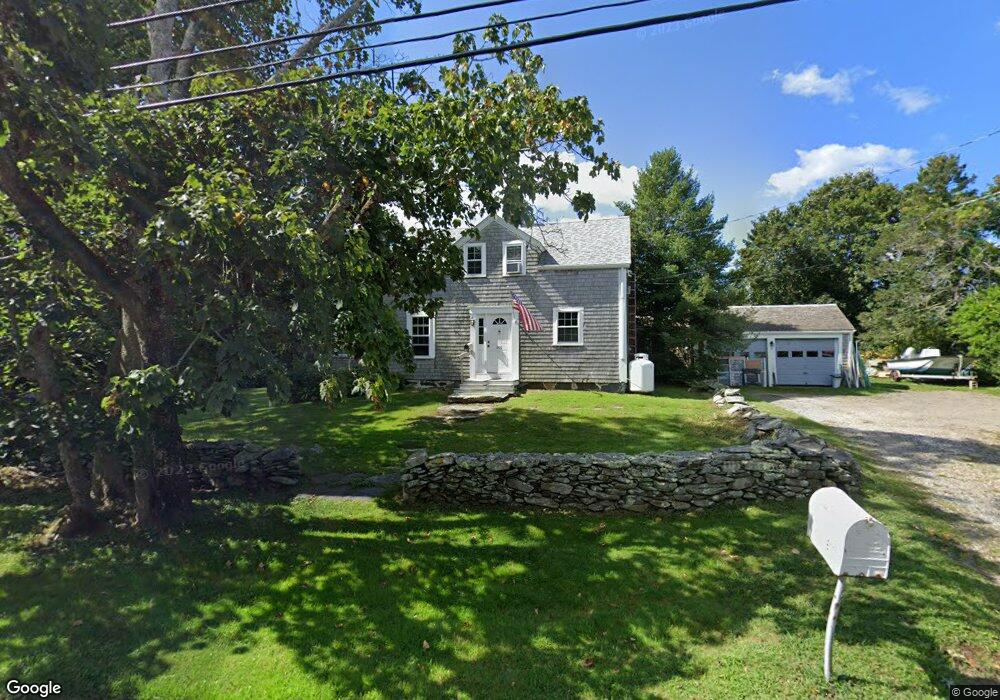
611 W Main Rd Little Compton, RI 02837
Estimated Value: $865,000 - $1,051,000
3
Beds
2
Baths
2,341
Sq Ft
$399/Sq Ft
Est. Value
About This Home
This home is located at 611 W Main Rd, Little Compton, RI 02837 and is currently estimated at $934,849, approximately $399 per square foot. 611 W Main Rd is a home located in Newport County with nearby schools including Wilbur & McMahon School.
Ownership History
Date
Name
Owned For
Owner Type
Purchase Details
Closed on
Sep 9, 2022
Sold by
Hall Charles G and Hall Kathleen
Bought by
Charles G Hall 3Rd Rev Lt and Hall
Current Estimated Value
Purchase Details
Closed on
Oct 29, 1999
Sold by
Dixon Constance S
Bought by
Hall Charles G and Hall Kathleen
Create a Home Valuation Report for This Property
The Home Valuation Report is an in-depth analysis detailing your home's value as well as a comparison with similar homes in the area
Home Values in the Area
Average Home Value in this Area
Purchase History
| Date | Buyer | Sale Price | Title Company |
|---|---|---|---|
| Charles G Hall 3Rd Rev Lt | -- | None Available | |
| Charles G Hall 3Rd Rev Lt | -- | None Available | |
| Hall Charles G | $165,000 | -- | |
| Hall Charles G | $165,000 | -- |
Source: Public Records
Mortgage History
| Date | Status | Borrower | Loan Amount |
|---|---|---|---|
| Previous Owner | Hall Charles G | $339,200 | |
| Previous Owner | Hall Charles G | $417,000 | |
| Previous Owner | Hall Charles G | $200,000 | |
| Previous Owner | Hall Charles G | $170,000 |
Source: Public Records
Tax History Compared to Growth
Tax History
| Year | Tax Paid | Tax Assessment Tax Assessment Total Assessment is a certain percentage of the fair market value that is determined by local assessors to be the total taxable value of land and additions on the property. | Land | Improvement |
|---|---|---|---|---|
| 2025 | $3,404 | $710,600 | $406,600 | $304,000 |
| 2024 | $2,829 | $556,800 | $234,200 | $322,600 |
| 2023 | $2,762 | $556,800 | $234,200 | $322,600 |
| 2022 | $2,728 | $556,800 | $234,200 | $322,600 |
| 2021 | $2,472 | $409,300 | $203,600 | $205,700 |
| 2020 | $2,452 | $409,300 | $203,600 | $205,700 |
| 2019 | $2,427 | $409,300 | $203,600 | $205,700 |
| 2018 | $2,471 | $414,600 | $203,600 | $211,000 |
| 2016 | $2,351 | $414,600 | $203,600 | $211,000 |
| 2015 | $2,278 | $396,200 | $185,200 | $211,000 |
| 2014 | $2,235 | $396,200 | $185,200 | $211,000 |
Source: Public Records
Map
Nearby Homes
- 536 W Main Rd
- 141 S Of Commons Rd
- 441 W Main Rd
- 128 Maple Ave
- 18 Old Barn Rd
- 0 Willow Ave
- 180 W Main Rd
- 505 Long Hwy
- 17 Ferolbink Way
- 155 W Main Rd
- 515 Indian Ave
- 189 Brayton Point Rd
- 304 Brayton Point Rd
- 78 Cornelius Dr
- 255 John Dyer Rd
- 6 June Way
- 62 Howland Ave
- 10 Bartlett Rd
- 180 Cottontail Dr
- 55 W Main Rd