6110 Twin Point Cove Rd Cambridge, MD 21613
Estimated Value: $718,306 - $867,000
--
Bed
2
Baths
2,112
Sq Ft
$369/Sq Ft
Est. Value
About This Home
This home is located at 6110 Twin Point Cove Rd, Cambridge, MD 21613 and is currently estimated at $778,327, approximately $368 per square foot. 6110 Twin Point Cove Rd is a home located in Dorchester County with nearby schools including Sandy Hill Elementary School, Mace's Lane Middle School, and Cambridge-South Dorchester High School.
Ownership History
Date
Name
Owned For
Owner Type
Purchase Details
Closed on
Sep 8, 2005
Sold by
Edgar Guy C and Edgar Jennifer A
Bought by
Easter Robert S and Easter Linda S
Current Estimated Value
Home Financials for this Owner
Home Financials are based on the most recent Mortgage that was taken out on this home.
Original Mortgage
$315,000
Outstanding Balance
$168,420
Interest Rate
5.84%
Mortgage Type
New Conventional
Estimated Equity
$609,907
Purchase Details
Closed on
Aug 31, 2005
Sold by
Edgar Guy C and Edgar Jennifer A
Bought by
Easter Robert S and Easter Linda S
Home Financials for this Owner
Home Financials are based on the most recent Mortgage that was taken out on this home.
Original Mortgage
$315,000
Outstanding Balance
$168,420
Interest Rate
5.84%
Mortgage Type
New Conventional
Estimated Equity
$609,907
Purchase Details
Closed on
Aug 22, 2000
Sold by
Myers James R and Myers Janet
Bought by
Edgar Guy C and Edgar Jennifer A
Create a Home Valuation Report for This Property
The Home Valuation Report is an in-depth analysis detailing your home's value as well as a comparison with similar homes in the area
Home Values in the Area
Average Home Value in this Area
Purchase History
| Date | Buyer | Sale Price | Title Company |
|---|---|---|---|
| Easter Robert S | $570,000 | -- | |
| Easter Robert S | $570,000 | -- | |
| Edgar Guy C | $310,000 | -- |
Source: Public Records
Mortgage History
| Date | Status | Borrower | Loan Amount |
|---|---|---|---|
| Open | Easter Robert S | $315,000 | |
| Closed | Easter Robert S | $315,000 | |
| Closed | Edgar Guy C | -- |
Source: Public Records
Tax History Compared to Growth
Tax History
| Year | Tax Paid | Tax Assessment Tax Assessment Total Assessment is a certain percentage of the fair market value that is determined by local assessors to be the total taxable value of land and additions on the property. | Land | Improvement |
|---|---|---|---|---|
| 2025 | $5,169 | $467,267 | $0 | $0 |
| 2024 | $4,550 | $435,533 | $0 | $0 |
| 2023 | $4,550 | $403,800 | $175,300 | $228,500 |
| 2022 | $8,835 | $391,867 | $0 | $0 |
| 2021 | $4,152 | $379,933 | $0 | $0 |
| 2020 | $4,152 | $368,000 | $165,400 | $202,600 |
| 2019 | $4,133 | $366,267 | $0 | $0 |
| 2018 | $4,114 | $364,533 | $0 | $0 |
| 2017 | $4,000 | $362,800 | $0 | $0 |
| 2016 | -- | $362,800 | $0 | $0 |
| 2015 | -- | $362,800 | $0 | $0 |
| 2014 | -- | $440,200 | $0 | $0 |
Source: Public Records
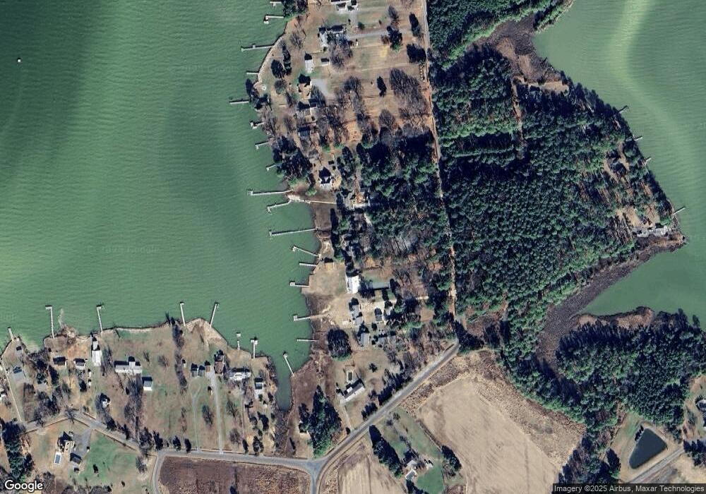
Map
Nearby Homes
- 814 Cody Dr
- 810 Kim Dr
- 820 Kim Dr
- 6010 Todds Point Rd
- 0 Heather Ln Unit MDDO2010808
- 5816 Indian Quarter Rd
- 5608 Riverton Rd
- 5622 Ross Neck Rd
- 5471 Ragged Point Rd
- 810 Seabreeze Rd
- 5332 Ragged Point Rd
- 5304 Cassons Neck Rd
- 0 Hudson Rd
- 1301 Broadview Dr
- 1307 Broadview Dr
- 1313 Broadview Dr
- 1403 Town Point Rd
- 5084 Ferry Neck Rd
- 0 Bar Neck Rd Unit MDTA2012008
- 4957 Bar Neck Rd
- 6108 Twin Point Cove Rd
- 6112 Twin Point Cove Rd
- 6106 Twin Point Cove Rd
- 6114 Twin Point Cove Rd
- 6104 Twin Point Cove Rd
- 6116 Twin Point Cove Rd
- 6102 Twin Point Cove Rd
- 6118 Twin Point Cove Rd
- 6120 Twin Point Cove Rd
- 6026 Twin Point Cove Rd
- 6122 Twin Point Cove Rd
- 730 Twin Point Cove Rd
- 728 Twin Point Cove Rd
- 6124 Twin Point Cove Rd
- 726 Twin Point Cove Rd
- 6126 Twin Point Cove Rd
- 734 Twin Point Cove Rd
- 724 Twin Point Cove Rd
- 6128 Twin Point Cove Rd
- 6115 Twin Point Cove Rd