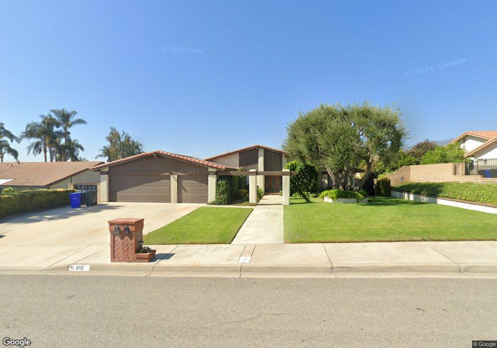
6112 Layton St Rancho Cucamonga, CA 91701
Estimated Value: $870,143 - $953,000
3
Beds
2
Baths
1,983
Sq Ft
$465/Sq Ft
Est. Value
About This Home
This home is located at 6112 Layton St, Rancho Cucamonga, CA 91701 and is currently estimated at $922,536, approximately $465 per square foot. 6112 Layton St is a home located in San Bernardino County with nearby schools including Carnelian Elementary, Alta Loma Junior High, and Alta Loma High.
Ownership History
Date
Name
Owned For
Owner Type
Purchase Details
Closed on
Jun 25, 2018
Sold by
Manny Robert and Manny Cherie
Bought by
Manny Robert Reid and Manny Cherie Suzanne
Current Estimated Value
Purchase Details
Closed on
Mar 10, 1994
Sold by
Sverko John A
Bought by
Manny Robert and Manny Cherie
Home Financials for this Owner
Home Financials are based on the most recent Mortgage that was taken out on this home.
Original Mortgage
$180,314
Interest Rate
7.59%
Mortgage Type
Assumption
Create a Home Valuation Report for This Property
The Home Valuation Report is an in-depth analysis detailing your home's value as well as a comparison with similar homes in the area
Home Values in the Area
Average Home Value in this Area
Purchase History
| Date | Buyer | Sale Price | Title Company |
|---|---|---|---|
| Manny Robert Reid | -- | None Available | |
| Manny Robert | $189,000 | Fidelity National Title Ins |
Source: Public Records
Mortgage History
| Date | Status | Borrower | Loan Amount |
|---|---|---|---|
| Closed | Manny Robert | $180,314 |
Source: Public Records
Tax History Compared to Growth
Tax History
| Year | Tax Paid | Tax Assessment Tax Assessment Total Assessment is a certain percentage of the fair market value that is determined by local assessors to be the total taxable value of land and additions on the property. | Land | Improvement |
|---|---|---|---|---|
| 2025 | $3,463 | $317,838 | $111,326 | $206,512 |
| 2024 | $3,463 | $311,606 | $109,143 | $202,463 |
| 2023 | $3,385 | $305,496 | $107,003 | $198,493 |
| 2022 | $3,376 | $299,506 | $104,905 | $194,601 |
| 2021 | $3,375 | $293,633 | $102,848 | $190,785 |
| 2020 | $3,237 | $290,622 | $101,793 | $188,829 |
| 2019 | $3,274 | $284,923 | $99,797 | $185,126 |
| 2018 | $3,122 | $279,336 | $97,840 | $181,496 |
| 2017 | $2,979 | $273,859 | $95,922 | $177,937 |
| 2016 | $2,897 | $268,489 | $94,041 | $174,448 |
| 2015 | $2,877 | $264,456 | $92,628 | $171,828 |
| 2014 | $2,795 | $259,276 | $90,814 | $168,462 |
Source: Public Records
Map
Nearby Homes
- 6055 Amethyst Ave
- 6028 Amethyst St
- 9513 Sunflower St
- 9504 Lemon Ave
- 6154 Klusman Ave
- 6155 Klusman Ave
- 6314 Hellman Ave
- 9637 Apricot Ave
- 6036 Eastwood Ave
- 6620 Altawoods Way
- 6360 Calle Hermoso
- 6616 Brighton Place
- 6210 Phillips Way
- 9872 Highland Ave Unit D
- 9872 Highland Ave Unit B
- 9160 Garden St
- 6349 Daylily Ct
- 5848 Burlwood Ct
- 9979 Timbermist Ct
- 6340 Sacramento Ave