6113 Prescott Forest Ct Bakersfield, CA 93314
Estimated Value: $672,177 - $796,000
4
Beds
3
Baths
2,842
Sq Ft
$258/Sq Ft
Est. Value
About This Home
This home is located at 6113 Prescott Forest Ct, Bakersfield, CA 93314 and is currently estimated at $732,294, approximately $257 per square foot. 6113 Prescott Forest Ct is a home with nearby schools including Veterans Elementary School, Norris Middle School, and Frontier High School.
Ownership History
Date
Name
Owned For
Owner Type
Purchase Details
Closed on
Aug 6, 2015
Sold by
American Lebanese Syrian Associated Char
Bought by
Riedel Janice Gail
Current Estimated Value
Purchase Details
Closed on
Oct 23, 2014
Sold by
Summit Capital Ventures Inc
Bought by
American Lebanese Syrian Associated Char
Create a Home Valuation Report for This Property
The Home Valuation Report is an in-depth analysis detailing your home's value as well as a comparison with similar homes in the area
Home Values in the Area
Average Home Value in this Area
Purchase History
| Date | Buyer | Sale Price | Title Company |
|---|---|---|---|
| Riedel Janice Gail | $470,000 | Placer Title Company | |
| American Lebanese Syrian Associated Char | $65,000 | Placer Title Company |
Source: Public Records
Tax History Compared to Growth
Tax History
| Year | Tax Paid | Tax Assessment Tax Assessment Total Assessment is a certain percentage of the fair market value that is determined by local assessors to be the total taxable value of land and additions on the property. | Land | Improvement |
|---|---|---|---|---|
| 2025 | $8,157 | $585,968 | $118,377 | $467,591 |
| 2024 | $8,003 | $574,479 | $116,056 | $458,423 |
| 2023 | $8,003 | $563,217 | $113,781 | $449,436 |
| 2022 | $7,910 | $552,175 | $111,550 | $440,625 |
| 2021 | $7,779 | $541,350 | $109,363 | $431,987 |
| 2020 | $7,597 | $535,800 | $108,242 | $427,558 |
| 2019 | $7,481 | $535,800 | $108,242 | $427,558 |
| 2018 | $7,287 | $514,998 | $104,040 | $410,958 |
| 2017 | $7,273 | $504,900 | $102,000 | $402,900 |
| 2016 | $6,838 | $495,000 | $100,000 | $395,000 |
| 2015 | $1,852 | $65,000 | $65,000 | $0 |
| 2014 | $230 | $5,600 | $5,600 | $0 |
Source: Public Records
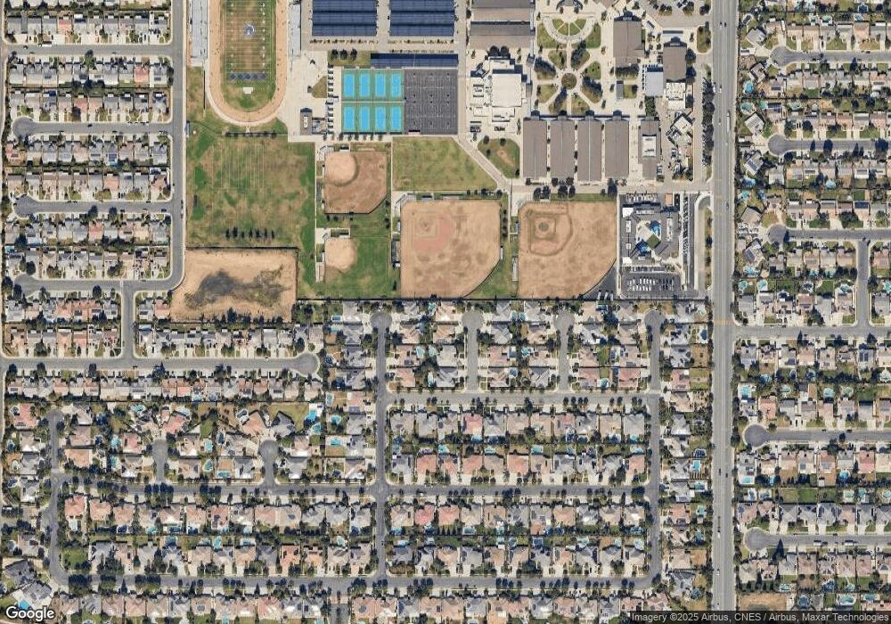
Map
Nearby Homes
- 6110 Ozark Mountain Dr
- 13404 Scafell Pike St
- 6006 Dartmoor Wood Ave
- 6002 Dartmoor Wood Ave
- 12809 Trafalgar Square Dr
- 6010 Inverwood Dr
- 12708 Knights Bridge Place
- 13511 Ashton Wood Ct
- 12804 Marradi Ave
- 13500 Sunlight Star St
- 12709 Montbatten Place
- 12610 Knights Bridge Place
- Oriole Plan at Laurelwood
- Lark Plan at Laurelwood
- Sparrow Plan at Laurelwood
- Wren Plan at Laurelwood
- 13012 Almondwood Cir
- 13006 Almondwood Cir
- 12508 Knights Bridge Place
- 12903 Spicewood Ct
- 6109 Prescott Forest Ct
- 6114 Ozark Mountain Dr
- 6105 Prescott Forest Ct
- 6112 Prescott Forest Ct
- 6106 Ozark Mountain Dr
- 6108 Prescott Forrest Ct
- 6101 Prescott Forrest Ct
- 6101 Prescott Forest Ct
- 6104 Prescott Forest Ct
- 6102 Ozark Mountain Dr
- 6100 Prescott Forest Ct
- 6115 Gallitan Ct
- 6111 Gallitan Ct
- 6115 Ozark Mountain Dr
- 6107 Ozark Mountain Dr
- 13201 Sabine Forest Ave
- 6103 Gallitan Ct
- 13205 Sabine Forest Ave
- 13111 Sabine Forest Ave