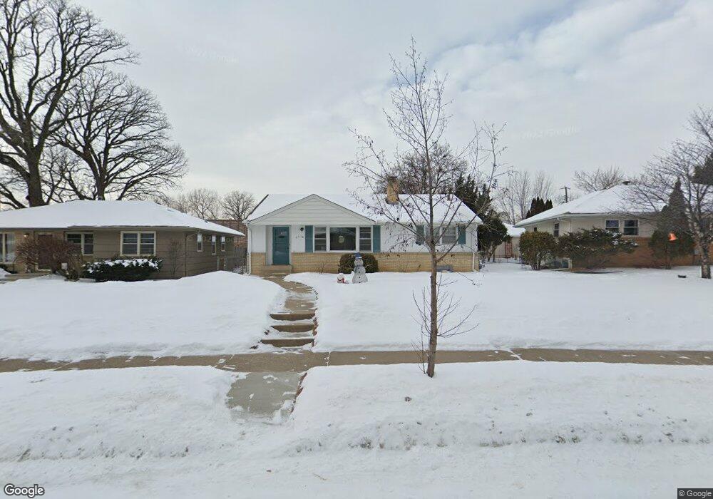
6114 Dupont Ave S Minneapolis, MN 55419
Windom NeighborhoodEstimated Value: $354,609 - $374,000
2
Beds
3
Baths
1,190
Sq Ft
$305/Sq Ft
Est. Value
About This Home
This home is located at 6114 Dupont Ave S, Minneapolis, MN 55419 and is currently estimated at $363,152, approximately $305 per square foot. 6114 Dupont Ave S is a home located in Hennepin County with nearby schools including Kenny Community School, Anthony Middle School, and Southwest Senior High School.
Ownership History
Date
Name
Owned For
Owner Type
Purchase Details
Closed on
Oct 22, 2019
Sold by
Rossiter Mark E
Bought by
Rossiter Michael E
Current Estimated Value
Home Financials for this Owner
Home Financials are based on the most recent Mortgage that was taken out on this home.
Original Mortgage
$147,000
Outstanding Balance
$129,172
Interest Rate
3.65%
Mortgage Type
New Conventional
Estimated Equity
$233,980
Create a Home Valuation Report for This Property
The Home Valuation Report is an in-depth analysis detailing your home's value as well as a comparison with similar homes in the area
Home Values in the Area
Average Home Value in this Area
Purchase History
| Date | Buyer | Sale Price | Title Company |
|---|---|---|---|
| Rossiter Michael E | $280,000 | None Available |
Source: Public Records
Mortgage History
| Date | Status | Borrower | Loan Amount |
|---|---|---|---|
| Open | Rossiter Michael E | $147,000 |
Source: Public Records
Tax History Compared to Growth
Tax History
| Year | Tax Paid | Tax Assessment Tax Assessment Total Assessment is a certain percentage of the fair market value that is determined by local assessors to be the total taxable value of land and additions on the property. | Land | Improvement |
|---|---|---|---|---|
| 2024 | $5,291 | $330,000 | $117,000 | $213,000 |
| 2023 | $4,696 | $319,000 | $102,000 | $217,000 |
| 2022 | $4,640 | $324,000 | $86,000 | $238,000 |
| 2021 | $4,359 | $296,000 | $60,000 | $236,000 |
| 2020 | $3,978 | $284,500 | $120,600 | $163,900 |
| 2019 | $3,503 | $284,500 | $80,400 | $204,100 |
| 2018 | $3,367 | $247,500 | $80,400 | $167,100 |
| 2017 | $2,988 | $210,000 | $73,100 | $136,900 |
| 2016 | $2,913 | $200,000 | $73,100 | $126,900 |
| 2015 | $2,877 | $190,000 | $73,100 | $116,900 |
| 2014 | -- | $178,500 | $73,100 | $105,400 |
Source: Public Records
Map
Nearby Homes
- 6138 Colfax Ln S
- 6164 Colfax Ln S
- 5816 Colfax Ave S
- 5801 Fremont Ave S
- 5753 James Ave S
- 1125 Woodlake Ln Unit 1
- 5629 Emerson Ave S
- 5900 Pillsbury Ave S
- 912 W 66th St
- 6500 Woodlake Dr Unit 205
- 6500 Woodlake Dr Unit 202
- 6500 Woodlake Dr Unit 105
- 5913 Pillsbury Ave S
- 6049 Wentworth Ave
- 133 W 59th St
- 6300 Wentworth Ave
- 5749 Pleasant Ave
- 6308 Newton Ave S
- 5536 Emerson Ave S
- 5540 Fremont Ave S
- 6108 Dupont Ave S
- 6118 Dupont Ave S
- 6100 Dupont Ave S
- 6126 Dupont Ave S
- 6115 Dupont Ave S
- 6119 Dupont Ave S
- 6107 Dupont Ave S
- 6125 Dupont Ave S
- 6130 Dupont Ave S
- 6131 Dupont Ave S
- 1030 W 61st St
- 6101 Dupont Ave S
- 6134 Dupont Ave S
- 6137 Dupont Ave S
- 1024 W 61st St
- 1024 1024 61st-Street-w
- 6138 Dupont Ave S
- 6143 Dupont Ave S
- 6057 Dupont Ave S
- 6053 Dupont Ave S