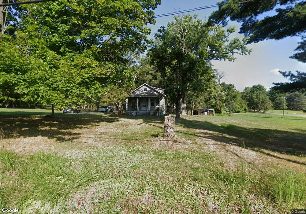
6118 Brooklyn Bridge Rd Laurel, MD 20707
West Laurel NeighborhoodEstimated Value: $321,388 - $453,000
--
Bed
1
Bath
704
Sq Ft
$575/Sq Ft
Est. Value
About This Home
This home is located at 6118 Brooklyn Bridge Rd, Laurel, MD 20707 and is currently estimated at $404,847, approximately $575 per square foot. 6118 Brooklyn Bridge Rd is a home located in Prince George's County with nearby schools including Bond Mill Elementary, Martin Luther King Jr. Middle School, and Laurel High School.
Ownership History
Date
Name
Owned For
Owner Type
Purchase Details
Closed on
Apr 18, 2024
Sold by
Owens Mark S and Owens Josephine S
Bought by
Owens Shipley and Owens Congetta
Current Estimated Value
Purchase Details
Closed on
May 5, 1995
Sold by
Boyle Elsie R
Bought by
Owens Josephine S
Home Financials for this Owner
Home Financials are based on the most recent Mortgage that was taken out on this home.
Original Mortgage
$80,000
Interest Rate
8.36%
Create a Home Valuation Report for This Property
The Home Valuation Report is an in-depth analysis detailing your home's value as well as a comparison with similar homes in the area
Home Values in the Area
Average Home Value in this Area
Purchase History
| Date | Buyer | Sale Price | Title Company |
|---|---|---|---|
| Owens Shipley | $1,394,500 | Title Rite Services | |
| Owens Shipley | $1,394,500 | Title Rite Services | |
| Owens Josephine S | $120,000 | -- |
Source: Public Records
Mortgage History
| Date | Status | Borrower | Loan Amount |
|---|---|---|---|
| Previous Owner | Owens Josephine S | $80,000 |
Source: Public Records
Tax History Compared to Growth
Tax History
| Year | Tax Paid | Tax Assessment Tax Assessment Total Assessment is a certain percentage of the fair market value that is determined by local assessors to be the total taxable value of land and additions on the property. | Land | Improvement |
|---|---|---|---|---|
| 2025 | $4,321 | $278,900 | $180,000 | $98,900 |
| 2024 | $4,321 | $262,500 | $0 | $0 |
| 2023 | $4,076 | $246,100 | $0 | $0 |
| 2022 | $3,832 | $229,700 | $120,000 | $109,700 |
| 2021 | $3,773 | $225,700 | $0 | $0 |
| 2020 | $3,713 | $221,700 | $0 | $0 |
| 2019 | $3,654 | $217,700 | $120,000 | $97,700 |
| 2018 | $3,522 | $208,867 | $0 | $0 |
| 2017 | $3,034 | $200,033 | $0 | $0 |
| 2016 | -- | $191,200 | $0 | $0 |
| 2015 | $2,773 | $191,200 | $0 | $0 |
| 2014 | $2,773 | $191,200 | $0 | $0 |
Source: Public Records
Map
Nearby Homes
- 16106 Julie Ln
- 6003 Windham Rd
- 15622 Bond Mill Rd
- 6802 Niles Dr
- 7209 Brooklyn Bridge Rd
- Dorchester IV Plan at Cole's Manor
- Tidewater Plan at Cole's Manor
- Stratton Plan at Cole's Manor
- Adrienne's Honneur II Plan at Cole's Manor
- Mount Vernon IV Villa 2 Plan at Cole's Manor
- Federal Hill II Plan at Cole's Manor
- 7019 Redmiles Rd
- 16140 Kenny Rd
- 7019 Fitzpatrick Dr
- 6403 Park Hall Dr
- 6918 Scotch Dr
- 7105 Split Rail Ln
- 15712 Dorset Rd Unit T3
- 15708 Dorset Rd Unit 203
- 15708 Dorset Rd Unit 304
- 6119 Brooklyn Bridge Rd
- 16009 Burton Ln
- 6201 Brooklyn Bridge Rd
- 6115 Brooklyn Bridge Rd
- 6106 Brooklyn Bridge Rd
- 6205 Brooklyn Bridge Rd
- 6209 Brooklyn Bridge Rd
- 15912 Joyce Ln
- 6111 Brooklyn Bridge Rd
- 15913 Joyce Ln
- 16015 Burton Ln
- 6216 Brooklyn Bridge Rd
- 16012 Burton Ln
- 6211 Brooklyn Bridge Rd
- 15908 Joyce Ln
- 6200 Brooklyn Bridge Rd
- 15909 Joyce Ln
- 16025 Burton Ln
- 15907 Joyce Ln
- 6213 Brooklyn Bridge Rd