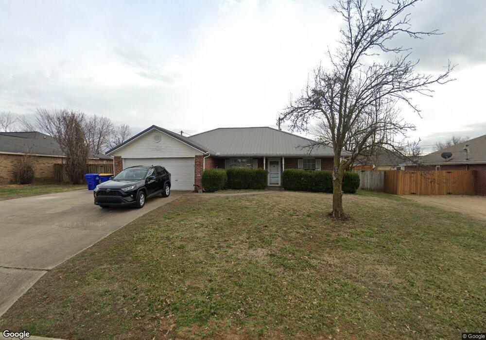
612 Del Cir Lowell, AR 72745
Estimated Value: $272,064 - $311,000
3
Beds
2
Baths
1,400
Sq Ft
$204/Sq Ft
Est. Value
About This Home
This home is located at 612 Del Cir, Lowell, AR 72745 and is currently estimated at $286,266, approximately $204 per square foot. 612 Del Cir is a home located in Benton County with nearby schools including Lowell Elementary School, Kirksey Middle School, and Rogers High School.
Ownership History
Date
Name
Owned For
Owner Type
Purchase Details
Closed on
Aug 17, 2000
Sold by
Apple Kevin D and Apple Stacy L
Bought by
Horn Lonnie T
Current Estimated Value
Purchase Details
Closed on
Jun 2, 2000
Bought by
Apple
Purchase Details
Closed on
Apr 22, 1999
Bought by
Walker
Purchase Details
Closed on
Sep 12, 1994
Bought by
Thomason
Purchase Details
Closed on
Mar 17, 1994
Bought by
Mccamey Real Estate 3 Lots
Create a Home Valuation Report for This Property
The Home Valuation Report is an in-depth analysis detailing your home's value as well as a comparison with similar homes in the area
Home Values in the Area
Average Home Value in this Area
Purchase History
| Date | Buyer | Sale Price | Title Company |
|---|---|---|---|
| Horn Lonnie T | $127,000 | Waco Title Company | |
| Apple | $83,000 | -- | |
| Walker | $77,000 | -- | |
| Thomason | $74,000 | -- | |
| Mccamey Real Estate 3 Lots | $36,000 | -- |
Source: Public Records
Tax History
| Year | Tax Paid | Tax Assessment Tax Assessment Total Assessment is a certain percentage of the fair market value that is determined by local assessors to be the total taxable value of land and additions on the property. | Land | Improvement |
|---|---|---|---|---|
| 2025 | $2,034 | $49,732 | $15,200 | $34,532 |
| 2024 | $1,727 | $49,732 | $15,200 | $34,532 |
| 2023 | $1,570 | $31,780 | $7,200 | $24,580 |
| 2022 | $1,589 | $31,780 | $7,200 | $24,580 |
| 2021 | $1,451 | $31,780 | $7,200 | $24,580 |
| 2020 | $1,322 | $22,710 | $4,000 | $18,710 |
| 2019 | $1,288 | $22,710 | $4,000 | $18,710 |
| 2018 | $1,288 | $22,710 | $4,000 | $18,710 |
| 2017 | $1,208 | $22,710 | $4,000 | $18,710 |
| 2016 | $1,208 | $22,710 | $4,000 | $18,710 |
| 2015 | $1,124 | $21,120 | $4,400 | $16,720 |
| 2014 | $1,124 | $21,120 | $4,400 | $16,720 |
Source: Public Records
Map
Nearby Homes
- 313 Nelda Ave
- 615 Honeysuckle St
- 407 Jackson Place
- 303 Poppy St
- 210 Collie Ave
- 502 Concord St
- 704 Mcclure Ave
- 0 N Bloomington St
- 1106 Calla Lily Ave
- 1114 Calla Lily Ave
- 1108 Calla Lily Ave
- 1107 Calla Lily Ave
- 1117 Calla Lily Ave
- 1105 Daylily Ave
- 1113 Calla Lily Ave
- 1103 Daylily Ave
- 1102 Calla Lily Ave
- 1117 Emilia Ave
- 1107 Daylily Ave
- 1123 Daylily Ave
Your Personal Tour Guide
Ask me questions while you tour the home.