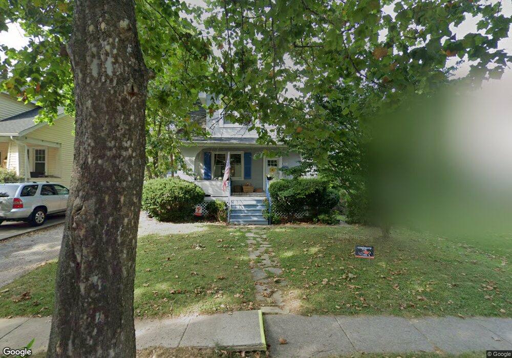
612 Dunkirk Rd Baltimore, MD 21212
Estimated Value: $406,000 - $468,000
Studio
1
Bath
1,020
Sq Ft
$436/Sq Ft
Est. Value
About This Home
This home is located at 612 Dunkirk Rd, Baltimore, MD 21212 and is currently estimated at $444,494, approximately $435 per square foot. 612 Dunkirk Rd is a home located in Baltimore County with nearby schools including Stoneleigh Elementary School, Dumbarton Middle School, and Towson High Law & Public Policy.
Ownership History
Date
Name
Owned For
Owner Type
Purchase Details
Closed on
Feb 27, 2025
Sold by
Woodward John S and Beyland Erin K
Bought by
Beyland Erin K
Current Estimated Value
Home Financials for this Owner
Home Financials are based on the most recent Mortgage that was taken out on this home.
Original Mortgage
$313,959
Interest Rate
6.15%
Mortgage Type
New Conventional
Purchase Details
Closed on
Dec 13, 2024
Sold by
Woodward John S
Bought by
Beyland Erin K and Woodward Erin K
Purchase Details
Closed on
Jun 18, 2004
Sold by
Alunans Barbara Y
Bought by
Woodward John S and Wood Ward Erin K
Purchase Details
Closed on
Jun 15, 2004
Sold by
Alunans Barbara Y
Bought by
Woodward John S and Wood Ward Erin K
Purchase Details
Closed on
Jun 25, 1996
Sold by
Bollinger Cecilia C
Bought by
Alunans Barbara Y
Purchase Details
Closed on
Mar 3, 1978
Sold by
Marden Tilghman B
Bought by
Bollinger Cecilia C
Create a Home Valuation Report for This Property
The Home Valuation Report is an in-depth analysis detailing your home's value as well as a comparison with similar homes in the area
Home Values in the Area
Average Home Value in this Area
Purchase History
| Date | Buyer | Sale Price | Title Company |
|---|---|---|---|
| Beyland Erin K | -- | Vylla Title | |
| Beyland Erin K | -- | None Listed On Document | |
| Woodward John S | $235,612 | -- | |
| Woodward John S | $235,612 | -- | |
| Woodward John S | $235,612 | -- | |
| Woodward John S | $235,612 | -- | |
| Alunans Barbara Y | $115,700 | -- | |
| Bollinger Cecilia C | $48,000 | -- |
Source: Public Records
Mortgage History
| Date | Status | Borrower | Loan Amount |
|---|---|---|---|
| Previous Owner | Beyland Erin K | $313,959 |
Source: Public Records
Tax History
| Year | Tax Paid | Tax Assessment Tax Assessment Total Assessment is a certain percentage of the fair market value that is determined by local assessors to be the total taxable value of land and additions on the property. | Land | Improvement |
|---|---|---|---|---|
| 2025 | $4,183 | $341,700 | $99,700 | $242,000 |
| 2024 | $4,183 | $323,300 | -- | -- |
| 2023 | $1,997 | $304,900 | $0 | $0 |
| 2022 | $3,738 | $286,500 | $94,700 | $191,800 |
| 2021 | $3,426 | $284,133 | $0 | $0 |
| 2020 | $3,426 | $281,767 | $0 | $0 |
| 2019 | $3,413 | $279,400 | $94,700 | $184,700 |
| 2018 | $3,378 | $273,867 | $0 | $0 |
| 2017 | $3,134 | $268,333 | $0 | $0 |
| 2016 | $2,520 | $262,800 | $0 | $0 |
| 2015 | $2,520 | $262,800 | $0 | $0 |
| 2014 | $2,520 | $262,800 | $0 | $0 |
Source: Public Records
Map
Nearby Homes
- 613 Anneslie Rd
- 625 Dunkirk Rd
- 633 Anneslie Rd
- 615 Overbrook Rd
- 529 Overbrook Rd
- 664 Regester Ave
- 722 Anneslie Rd
- 501 Stoneleigh Rd
- 318 Hopkins Rd
- 820 Cedarcroft Rd
- 726 Highwood Dr
- 214 Murdock Rd
- 6225 Chinquapin Pkwy
- 12 Stone Ridge Ct
- 411 Gittings Ave
- 415 Schwartz Ave
- 111 Dunkirk Rd
- 150 Hopkins Rd
- 709 Cedarcroft Rd
- 335 Old Trail Rd
Your Personal Tour Guide
Ask me questions while you tour the home.