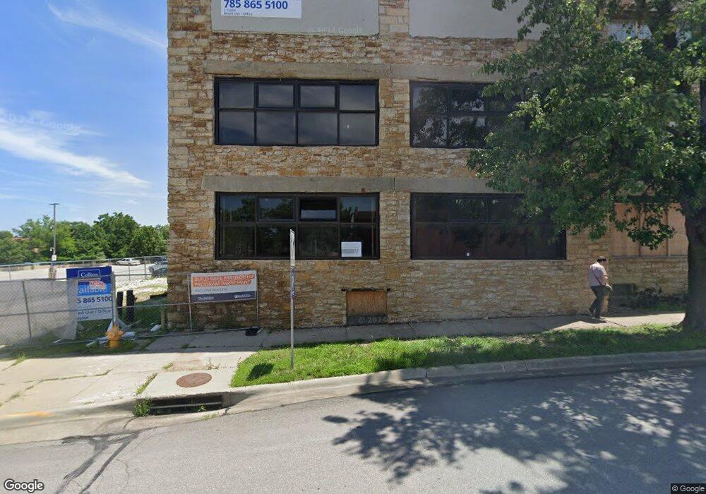
612 New Hampshire St Lawrence, KS 66044
--
Bed
--
Bath
4,000
Sq Ft
0.74
Acres
About This Home
This home is located at 612 New Hampshire St, Lawrence, KS 66044. 612 New Hampshire St is a home located in Douglas County with nearby schools including New York Elementary School, Liberty Memorial Central Middle School, and Lawrence Free State High School.
Ownership History
Date
Name
Owned For
Owner Type
Purchase Details
Closed on
Feb 28, 2018
Sold by
Postal Investors Lc
Bought by
Mw Holdings Llc
Home Financials for this Owner
Home Financials are based on the most recent Mortgage that was taken out on this home.
Original Mortgage
$1,680,000
Outstanding Balance
$1,427,842
Interest Rate
4.04%
Mortgage Type
Commercial
Create a Home Valuation Report for This Property
The Home Valuation Report is an in-depth analysis detailing your home's value as well as a comparison with similar homes in the area
Home Values in the Area
Average Home Value in this Area
Purchase History
| Date | Buyer | Sale Price | Title Company |
|---|---|---|---|
| Mw Holdings Llc | -- | Kansas Secured Title |
Source: Public Records
Mortgage History
| Date | Status | Borrower | Loan Amount |
|---|---|---|---|
| Open | Mw Holdings Llc | $1,680,000 |
Source: Public Records
Tax History Compared to Growth
Tax History
| Year | Tax Paid | Tax Assessment Tax Assessment Total Assessment is a certain percentage of the fair market value that is determined by local assessors to be the total taxable value of land and additions on the property. | Land | Improvement |
|---|---|---|---|---|
| 2025 | $42,602 | $342,563 | $317,630 | $24,933 |
| 2024 | $42,602 | $457,726 | $308,808 | $148,918 |
| 2023 | $53,695 | $403,701 | $265,773 | $137,928 |
| 2022 | $51,254 | $383,101 | $261,728 | $121,373 |
| 2021 | $50,823 | $370,476 | $214,453 | $156,023 |
| 2020 | $50,654 | $370,976 | $225,663 | $145,313 |
| 2019 | $48,790 | $357,350 | $138,035 | $219,315 |
| 2018 | $45,518 | $330,425 | $138,035 | $192,390 |
| 2017 | $41,973 | $300,700 | $138,035 | $162,665 |
| 2016 | $35,316 | $269,650 | $138,035 | $131,615 |
| 2015 | -- | $270,326 | $152,693 | $117,633 |
| 2014 | -- | $263,526 | $152,693 | $110,833 |
Source: Public Records
Map
Nearby Homes
- 627 Connecticut St
- 603 Ohio St
- 728 Indiana St
- 615 Indiana St
- 734 Indiana St
- 940 Connecticut St
- 916 Pennsylvania St
- 451 Perry St
- 909 W 6th St
- 1111 New Jersey St
- 310 Funston Ave
- 1141 Connecticut St
- 817 Maine St
- 321 Maiden Ln
- Lot 9 W 5th St
- 1215 W 4th St
- 1300 New York St Unit A
- 412 Michigan St
- 1243 Delaware St Unit B
- 545 N 8th St
- 620 Rhode Island St
- 624 Rhode Island St
- 628 Rhode Island St
- 634 Rhode Island St
- 638 Rhode Island St
- 621 Connecticut St
- 640 Rhode Island St
- 20 Highway 40
- 8 E 7th St
- 646 Rhode Island St
- 633 Connecticut St
- Land 7 Acres E 200 Rd
- 645 Connecticut St
- 305 E 7th St
- 711 New Hampshire St
- 705 Connecticut St
- 712 Rhode Island St
- 712 Massachusetts St
- 12742 Ashley Ct
- 714 Rhode Island St