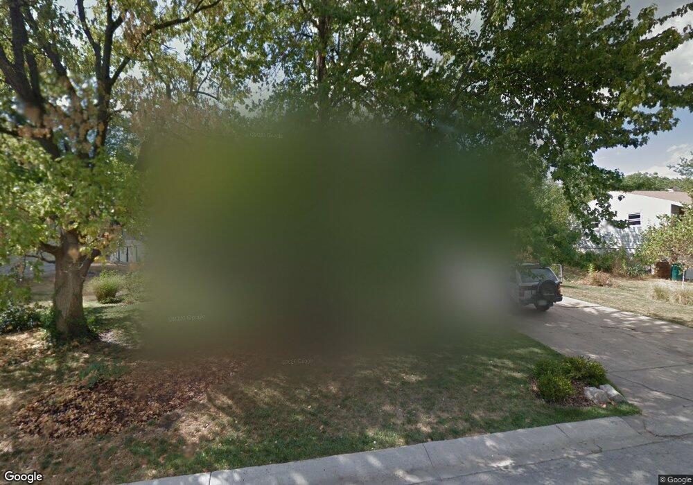
612 NW Fair Ln Lees Summit, MO 64063
Estimated Value: $216,000 - $276,000
3
Beds
1
Bath
1,300
Sq Ft
$193/Sq Ft
Est. Value
About This Home
This home is located at 612 NW Fair Ln, Lees Summit, MO 64063 and is currently estimated at $250,822, approximately $192 per square foot. 612 NW Fair Ln is a home located in Jackson County with nearby schools including Bernard C. Campbell Middle School, Westview Elementary School, and Lee's Summit North High School.
Ownership History
Date
Name
Owned For
Owner Type
Purchase Details
Closed on
Apr 28, 2022
Sold by
L & B Property Management Llc
Bought by
G1 Real Estate 021 Llc
Current Estimated Value
Purchase Details
Closed on
Feb 4, 2016
Sold by
Becker David M and Becker Christine E
Bought by
L & B Property Management Llc
Purchase Details
Closed on
Jun 13, 2005
Sold by
Gregory Riddelle L and Gregory Hazel N
Bought by
Becker David M and Becker Christine E
Home Financials for this Owner
Home Financials are based on the most recent Mortgage that was taken out on this home.
Original Mortgage
$121,295
Interest Rate
5.78%
Mortgage Type
FHA
Create a Home Valuation Report for This Property
The Home Valuation Report is an in-depth analysis detailing your home's value as well as a comparison with similar homes in the area
Home Values in the Area
Average Home Value in this Area
Purchase History
| Date | Buyer | Sale Price | Title Company |
|---|---|---|---|
| G1 Real Estate 021 Llc | -- | Security 1St Title | |
| L & B Property Management Llc | $75,500 | Continental Title | |
| Becker David M | -- | Coffelt Land Title Inc |
Source: Public Records
Mortgage History
| Date | Status | Borrower | Loan Amount |
|---|---|---|---|
| Previous Owner | Becker David M | $121,295 |
Source: Public Records
Tax History Compared to Growth
Tax History
| Year | Tax Paid | Tax Assessment Tax Assessment Total Assessment is a certain percentage of the fair market value that is determined by local assessors to be the total taxable value of land and additions on the property. | Land | Improvement |
|---|---|---|---|---|
| 2025 | $2,862 | $29,399 | $9,308 | $20,091 |
| 2024 | $2,841 | $39,634 | $8,550 | $31,084 |
| 2023 | $2,841 | $39,634 | $5,276 | $34,358 |
| 2022 | $1,795 | $22,230 | $5,881 | $16,349 |
| 2021 | $1,832 | $22,230 | $5,881 | $16,349 |
| 2020 | $1,767 | $21,237 | $5,881 | $15,356 |
| 2019 | $1,719 | $21,237 | $5,881 | $15,356 |
| 2018 | $1,774 | $20,346 | $3,967 | $16,379 |
| 2017 | $1,748 | $20,346 | $3,967 | $16,379 |
| 2016 | $1,748 | $19,836 | $3,762 | $16,074 |
| 2014 | $1,842 | $20,492 | $3,513 | $16,979 |
Source: Public Records
Map
Nearby Homes
- 614 NW Fair Ln
- 624 NW Village Dr
- 414 NW Frances Rd
- 505 NW Watson Rd
- 407 NW Lincolnwood Dr
- 205-207 NW Orchard Ct
- 207 NW Orchard St
- 27002 NW Olive St
- 27001 NW Olive St
- 205 NW Orchard St
- 1003 NW Maple St
- 1410 SW Highway Ln
- 106 SW Donovan Rd
- 205 NW Shamrock Ave
- 100 NW Orchard St
- 128 SW Hillcrest Ln
- 109 SW Murray Rd
- 134 SW Robin Rd
- 508 NW Main St
- 514 NW Main St
- 610 NW Fair Ln
- 613 NW Fair Ln
- 611 NW Fair Ln
- 615 NW Fair Ln
- 609 NW Fair Ln
- 616 NW Fair Cir
- 608 NW Fair Ln
- 617 NW Fair Ln
- 623 NW Village Dr
- 625 NW Village Dr
- 607 NW Fair Ln
- 621 NW Village Dr
- 619 NW Fair Ln
- 618 NW Fair Cir
- 622 NW Fair Ln
- 629 NW Village Dr
- 620 NW Fair Cir
- 605 NW Fair Ln
- 616 NW Kay Dr
- 612 NW Kay Dr