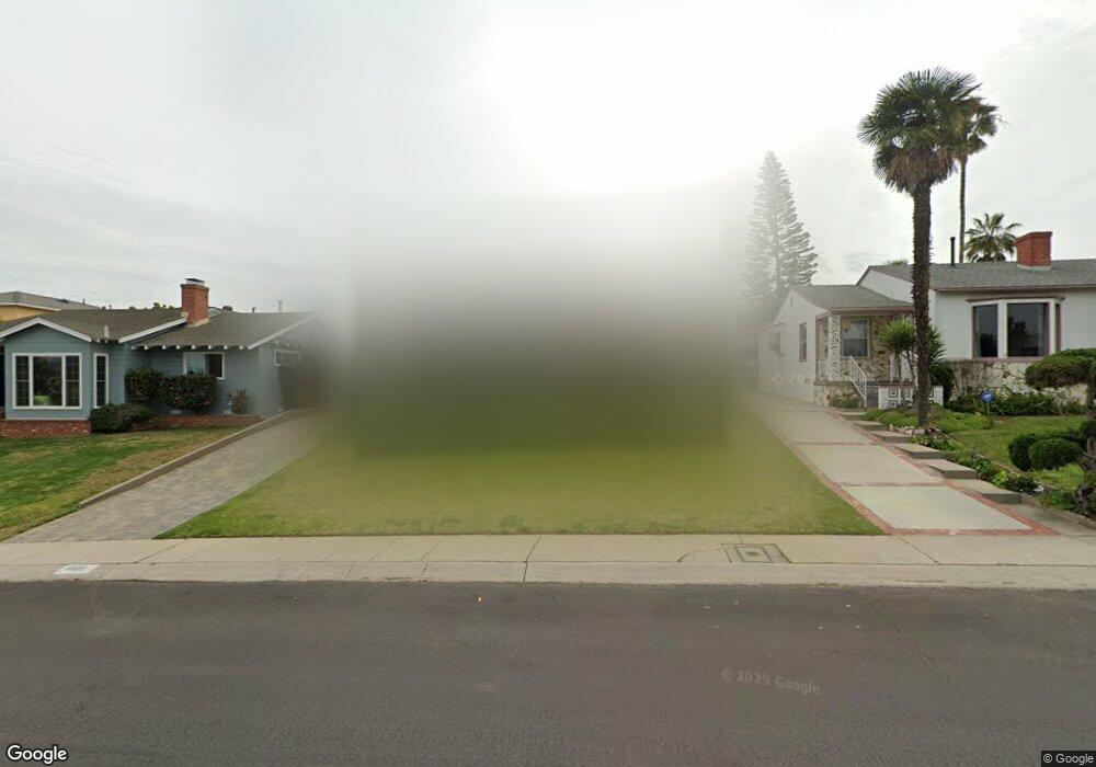
6120 W 76th St Los Angeles, CA 90045
Westchester NeighborhoodEstimated Value: $1,525,886 - $1,801,000
4
Beds
2
Baths
1,486
Sq Ft
$1,138/Sq Ft
Est. Value
About This Home
This home is located at 6120 W 76th St, Los Angeles, CA 90045 and is currently estimated at $1,690,472, approximately $1,137 per square foot. 6120 W 76th St is a home located in Los Angeles County with nearby schools including Westport Heights Elementary, Wright Middle School STEAM Magnet, and Westchester Enriched Sciences Magnets.
Ownership History
Date
Name
Owned For
Owner Type
Purchase Details
Closed on
Dec 5, 2016
Sold by
Delany Leland
Bought by
Delany Leland and Delaney Debra
Current Estimated Value
Purchase Details
Closed on
Oct 5, 1994
Sold by
Worline Agnes D and The Agnes D Worline Family Tru
Bought by
Delaney Leland
Home Financials for this Owner
Home Financials are based on the most recent Mortgage that was taken out on this home.
Original Mortgage
$226,800
Interest Rate
8.92%
Create a Home Valuation Report for This Property
The Home Valuation Report is an in-depth analysis detailing your home's value as well as a comparison with similar homes in the area
Home Values in the Area
Average Home Value in this Area
Purchase History
| Date | Buyer | Sale Price | Title Company |
|---|---|---|---|
| Delany Leland | -- | None Available | |
| Delaney Leland | $252,000 | Gateway Title |
Source: Public Records
Mortgage History
| Date | Status | Borrower | Loan Amount |
|---|---|---|---|
| Previous Owner | Delaney Leland | $226,800 |
Source: Public Records
Tax History Compared to Growth
Tax History
| Year | Tax Paid | Tax Assessment Tax Assessment Total Assessment is a certain percentage of the fair market value that is determined by local assessors to be the total taxable value of land and additions on the property. | Land | Improvement |
|---|---|---|---|---|
| 2025 | $5,850 | $471,816 | $338,615 | $133,201 |
| 2024 | $5,850 | $462,566 | $331,976 | $130,590 |
| 2023 | $5,744 | $453,497 | $325,467 | $128,030 |
| 2022 | $5,488 | $444,606 | $319,086 | $125,520 |
| 2021 | $5,414 | $435,889 | $312,830 | $123,059 |
| 2019 | $5,256 | $422,962 | $303,552 | $119,410 |
| 2018 | $5,152 | $414,669 | $297,600 | $117,069 |
| 2016 | $4,921 | $398,569 | $286,045 | $112,524 |
| 2015 | $4,850 | $392,583 | $281,749 | $110,834 |
| 2014 | $4,874 | $384,893 | $276,230 | $108,663 |
Source: Public Records
Map
Nearby Homes
- 6154 W 75th Place
- 6040 W 76th St
- 7817 Truxton Ave
- 6027 W 76th St
- 7842 Croydon Ave
- 6017 W 75th St
- 7832 Bleriot Ave
- 5988 W 76th St
- 7403 S Sepulveda Blvd Unit 108
- 6322 W 78th Place
- 5966 Abernathy Dr
- 7221 Arizona Ave
- 7840 Boeing Ave
- 8101 Naylor Ave
- 8004 El Manor Ave
- 8008 El Manor Ave
- 6882 Arizona Ave
- 5858 Abernathy Dr
- 6376 Nancy St
- 8210 Alverstone Ave
- 6114 W 76th St
- 6124 W 76th St
- 6108 W 76th St
- 6130 W 76th St
- 6215 W 77th St
- 6134 W 76th St
- 6209 W 77th St
- 7643 Truxton Ave
- 6219 W 77th St
- 6100 W 76th St
- 7649 Truxton Ave
- 7609 Boeing Ave
- 7637 Truxton Ave
- 6225 W 77th St
- 6123 W 76th St
- 6117 W 76th St
- 6111 W 76th St
- 7655 Truxton Ave
- 6229 W 77th St
- 7631 Truxton Ave