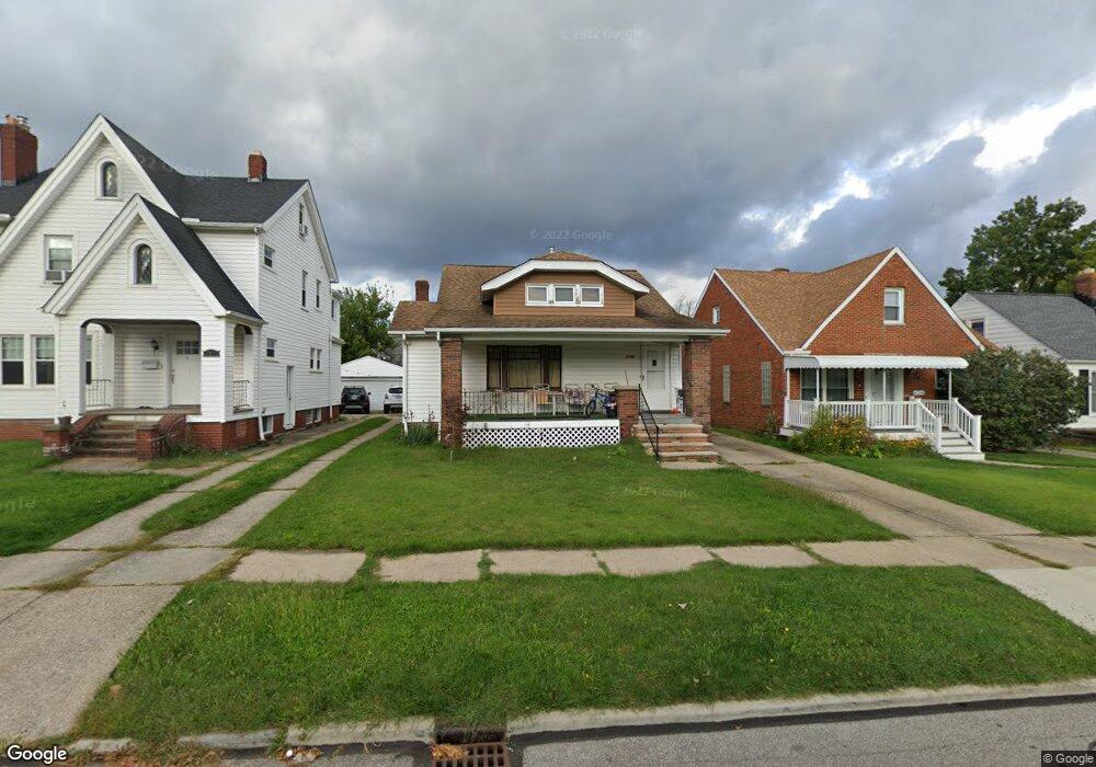
6120 Wareham Dr Cleveland, OH 44129
Estimated Value: $198,000 - $224,000
3
Beds
1
Bath
1,516
Sq Ft
$136/Sq Ft
Est. Value
About This Home
This home is located at 6120 Wareham Dr, Cleveland, OH 44129 and is currently estimated at $205,545, approximately $135 per square foot. 6120 Wareham Dr is a home located in Cuyahoga County with nearby schools including Thoreau Park Elementary School, Shiloh Middle School, and Valley Forge High School.
Ownership History
Date
Name
Owned For
Owner Type
Purchase Details
Closed on
Jul 25, 2006
Sold by
Zak Susan and Zak Edward
Bought by
Gross Robert A and Gross Phyliss
Current Estimated Value
Home Financials for this Owner
Home Financials are based on the most recent Mortgage that was taken out on this home.
Original Mortgage
$124,000
Outstanding Balance
$83,996
Interest Rate
9.37%
Mortgage Type
Purchase Money Mortgage
Estimated Equity
$121,549
Purchase Details
Closed on
Mar 24, 2006
Sold by
Estate Of Helen T Zawada
Bought by
Zak Sue and Geiswas Sharon
Purchase Details
Closed on
Feb 22, 1980
Sold by
Zawada Henry J and Zawada Helen
Bought by
Zawada Helen J
Purchase Details
Closed on
Jan 1, 1975
Bought by
Zawada Henry J and Zawada Helen
Create a Home Valuation Report for This Property
The Home Valuation Report is an in-depth analysis detailing your home's value as well as a comparison with similar homes in the area
Home Values in the Area
Average Home Value in this Area
Purchase History
| Date | Buyer | Sale Price | Title Company |
|---|---|---|---|
| Gross Robert A | $124,000 | Title Access Llc | |
| Zak Sue | -- | None Available | |
| Zawada Helen J | -- | -- | |
| Zawada Henry J | -- | -- |
Source: Public Records
Mortgage History
| Date | Status | Borrower | Loan Amount |
|---|---|---|---|
| Open | Gross Robert A | $124,000 |
Source: Public Records
Tax History
| Year | Tax Paid | Tax Assessment Tax Assessment Total Assessment is a certain percentage of the fair market value that is determined by local assessors to be the total taxable value of land and additions on the property. | Land | Improvement |
|---|---|---|---|---|
| 2024 | $3,634 | $58,520 | $10,500 | $48,020 |
| 2023 | $3,358 | $46,590 | $9,280 | $37,310 |
| 2022 | $3,327 | $46,590 | $9,280 | $37,310 |
| 2021 | $3,426 | $46,590 | $9,280 | $37,310 |
| 2020 | $2,997 | $35,840 | $7,140 | $28,700 |
| 2019 | $2,874 | $102,400 | $20,400 | $82,000 |
| 2018 | $2,756 | $35,840 | $7,140 | $28,700 |
| 2017 | $2,785 | $32,200 | $5,320 | $26,880 |
| 2016 | $2,768 | $32,200 | $5,320 | $26,880 |
| 2015 | $2,663 | $32,200 | $5,320 | $26,880 |
| 2014 | $2,663 | $32,870 | $5,430 | $27,440 |
Source: Public Records
Map
Nearby Homes
- 6707 Thornton Dr
- 6406 Sunderland Dr
- 6502 Farnsworth Dr
- 7111 Hampstead Ave
- 7115 Hampstead Ave
- 7610 Renwood Dr
- 5610 Renwood Dr
- 6808 Southington Dr
- 6501 Wilber Ave
- 5603 Allanwood Dr
- 6800 Wilber Ave
- 8014 Lanyard Dr
- 6914 Alber Ave
- 6365 Doncaster Ave
- 8012 Spring Garden Rd
- 5916 W 54th St
- 8017 Wainstead Dr
- 6302 W 54th St
- 6312 W 54th St
- 6361 S Canterbury Rd
- 6116 Wareham Dr
- 6126 Wareham Dr
- 6112 Wareham Dr
- 6134 Wareham Dr
- 6121 Manchester Rd
- 6108 Wareham Dr
- 6142 Wareham Dr
- 6129 Manchester Rd
- 6115 Manchester Rd
- 6137 Manchester Rd
- 6104 Wareham Dr
- 6146 Wareham Dr
- 6127 Wareham Dr
- 6117 Wareham Dr
- 6145 Manchester Rd
- 6107 Manchester Rd
- 6113 Wareham Dr
- 6137 Wareham Dr
- 6100 Wareham Dr
- 6150 Wareham Dr
Your Personal Tour Guide
Ask me questions while you tour the home.