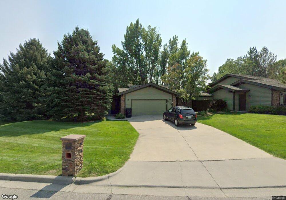
6122 Sam Snead Trail Billings, MT 59106
West Shiloh NeighborhoodEstimated Value: $556,000 - $596,000
3
Beds
3
Baths
3,920
Sq Ft
$147/Sq Ft
Est. Value
About This Home
This home is located at 6122 Sam Snead Trail, Billings, MT 59106 and is currently estimated at $576,135, approximately $146 per square foot. 6122 Sam Snead Trail is a home located in Yellowstone County with nearby schools including Arrowhead School, Ben Steele Middle School, and Billings West High School.
Ownership History
Date
Name
Owned For
Owner Type
Purchase Details
Closed on
May 24, 2023
Sold by
Hansen Patse
Bought by
Hansen/Quilico Irrevocable Family Trust
Current Estimated Value
Purchase Details
Closed on
Jul 15, 2020
Sold by
Douglas Weedin Living Trust
Bought by
Hansen Patse
Home Financials for this Owner
Home Financials are based on the most recent Mortgage that was taken out on this home.
Original Mortgage
$100,000
Interest Rate
3.1%
Mortgage Type
New Conventional
Create a Home Valuation Report for This Property
The Home Valuation Report is an in-depth analysis detailing your home's value as well as a comparison with similar homes in the area
Home Values in the Area
Average Home Value in this Area
Purchase History
| Date | Buyer | Sale Price | Title Company |
|---|---|---|---|
| Hansen/Quilico Irrevocable Family Trust | -- | None Listed On Document | |
| Hansen Patse | -- | First American Title Company |
Source: Public Records
Mortgage History
| Date | Status | Borrower | Loan Amount |
|---|---|---|---|
| Previous Owner | Hansen Patse | $100,000 |
Source: Public Records
Tax History
| Year | Tax Paid | Tax Assessment Tax Assessment Total Assessment is a certain percentage of the fair market value that is determined by local assessors to be the total taxable value of land and additions on the property. | Land | Improvement |
|---|---|---|---|---|
| 2025 | $5,018 | $596,200 | $94,695 | $501,505 |
| 2024 | $5,018 | $511,600 | $65,263 | $446,337 |
| 2023 | $4,979 | $511,600 | $65,263 | $446,337 |
| 2022 | $3,736 | $395,700 | $0 | $0 |
| 2021 | $4,172 | $395,700 | $0 | $0 |
| 2020 | $4,330 | $387,100 | $0 | $0 |
| 2019 | $4,357 | $410,100 | $0 | $0 |
| 2018 | $4,998 | $468,800 | $0 | $0 |
| 2017 | $4,340 | $468,800 | $0 | $0 |
| 2016 | $3,889 | $372,700 | $0 | $0 |
| 2015 | $3,721 | $372,700 | $0 | $0 |
| 2014 | $3,142 | $161,226 | $0 | $0 |
Source: Public Records
Map
Nearby Homes
- 5915 Sam Snead Trail
- 6020 Hazelwood Dr
- 6203 Western Bluffs Blvd
- 3965 Woodcreek Dr
- 6229 Sandalwood Dr
- 3996 Woodcreek Dr
- 5810 Sam Snead Trail
- 3822 Ben Hogan Ln
- 4703 Laila
- 6047 Canyonwoods Dr
- 6061 Canyonwoods Dr
- Lot 34 Aspenridge Dr
- 3127 Falcon Cir
- 3612 Ben Hogan Ln
- 4224 Arrowwood Dr
- 4216 Arrowwood Dr
- 00B Molt Rd
- 4225 Snowywoods Dr
- 5625 Walter Hagen Dr
- 1226 Buffalo Crossing Dr
- 6124 Sam Snead Trail
- 6114 Sam Snead Trail
- 6132 Sam Snead Trail
- 6134 Wedgewood Ln
- 6140 Wedgewood Ln
- 4205 Wedgewood Ln
- 6142 Wedgewood Ln
- 6053 Sam Snead Trail
- 6144 Wedgewood Ln
- 6030 Sam Snead Trail
- 6043 Sam Snead Trail
- 3659 Spalding Ave
- 3647 Spalding Ave
- 3720 62nd St W
- 6028 Sam Snead Trail
- 3620 62nd St W
- 3637 Spalding Ave
- 3671 Spalding Ave
- 6033 Sam Snead Trail
- 3683 Spalding Ave