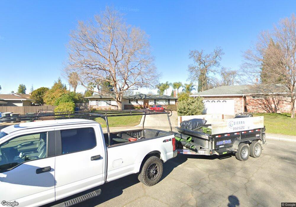
6123 Minton Ct Carmichael, CA 95608
Estimated Value: $566,830 - $642,000
3
Beds
2
Baths
1,792
Sq Ft
$339/Sq Ft
Est. Value
About This Home
This home is located at 6123 Minton Ct, Carmichael, CA 95608 and is currently estimated at $607,708, approximately $339 per square foot. 6123 Minton Ct is a home located in Sacramento County with nearby schools including Thomas Kelly Elementary School, John Barrett Middle School, and Del Campo High School.
Ownership History
Date
Name
Owned For
Owner Type
Purchase Details
Closed on
Dec 24, 2020
Sold by
Davidson Robert D and Davidson Family Revocable Trus
Bought by
Mitchell Robert L and Mitchell Sandra K
Current Estimated Value
Home Financials for this Owner
Home Financials are based on the most recent Mortgage that was taken out on this home.
Original Mortgage
$368,250
Outstanding Balance
$327,852
Interest Rate
2.7%
Mortgage Type
New Conventional
Estimated Equity
$279,856
Create a Home Valuation Report for This Property
The Home Valuation Report is an in-depth analysis detailing your home's value as well as a comparison with similar homes in the area
Home Values in the Area
Average Home Value in this Area
Purchase History
| Date | Buyer | Sale Price | Title Company |
|---|---|---|---|
| Mitchell Robert L | $515,000 | Fidelity National Title Co |
Source: Public Records
Mortgage History
| Date | Status | Borrower | Loan Amount |
|---|---|---|---|
| Open | Mitchell Robert L | $368,250 |
Source: Public Records
Tax History
| Year | Tax Paid | Tax Assessment Tax Assessment Total Assessment is a certain percentage of the fair market value that is determined by local assessors to be the total taxable value of land and additions on the property. | Land | Improvement |
|---|---|---|---|---|
| 2025 | $6,604 | $557,449 | $130,702 | $426,747 |
| 2024 | $6,604 | $546,520 | $128,140 | $418,380 |
| 2023 | $6,500 | $535,805 | $125,628 | $410,177 |
| 2022 | $6,370 | $525,300 | $123,165 | $402,135 |
| 2021 | $1,162 | $94,586 | $19,961 | $74,625 |
| 2020 | $1,141 | $93,617 | $19,757 | $73,860 |
| 2019 | $1,118 | $91,782 | $19,370 | $72,412 |
| 2018 | $1,020 | $89,984 | $18,991 | $70,993 |
| 2017 | $1,009 | $88,220 | $18,619 | $69,601 |
| 2016 | $941 | $86,491 | $18,254 | $68,237 |
| 2015 | $969 | $85,193 | $17,980 | $67,213 |
| 2014 | $949 | $83,533 | $17,631 | $65,902 |
Source: Public Records
Map
Nearby Homes
- 6395 Perrin Way
- 4823 Schuyler Dr
- 6008 Rye Way
- 6141 Lincoln Ave
- 5812 Kimberly Hill Ct
- 4656 Lue Ln
- 4660 Lue Ln
- 4904 Manzanita Ave
- 4907 Crestview Dr
- 5725 Misty Wind Ct
- 4448 Hackberry Ln
- 0 Secluded Oaks Ln Unit 224011893
- 5831 Verde Cruz Way
- 4434 Mapel Ln
- 5637 Kiva Dr
- 5865 Esrig Way
- 4701 Pedersen Way
- 6319 Saint James Dr
- 4952 Oleander Dr
- 5805 Muldrow Rd
- 6125 Minton Ct
- 6111 Rampart Dr
- 6121 Rampart Dr
- 4 Minton Rd
- 6058 Ranger Way
- 6064 Ranger Way
- 6101 Rampart Dr
- 6127 Minton Ct
- 6100 Ranger Way
- 6052 Ranger Way
- 6129 Minton Ct
- 6104 Ranger Way
- 6131 Rampart Dr
- 21 Crestview Dr
- 4552 Marble Way
- 6043 Rampart Dr
- 6044 Ranger Way
- 6112 Rampart Dr
- 6100 Rampart Dr
- 6108 Ranger Way
Your Personal Tour Guide
Ask me questions while you tour the home.