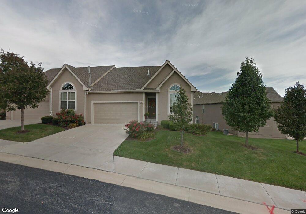
6125 Allman Rd Shawnee, KS 66217
Estimated Value: $352,000 - $404,933
2
Beds
3
Baths
1,124
Sq Ft
$326/Sq Ft
Est. Value
About This Home
This home is located at 6125 Allman Rd, Shawnee, KS 66217 and is currently estimated at $365,983, approximately $325 per square foot. 6125 Allman Rd is a home located in Johnson County with nearby schools including Broken Arrow Elementary School, Trailridge Middle School, and Shawnee Mission Northwest High School.
Ownership History
Date
Name
Owned For
Owner Type
Purchase Details
Closed on
Mar 26, 2008
Sold by
Parkside Villas Llc
Bought by
Couts Carl W and Couts Nancy J
Current Estimated Value
Home Financials for this Owner
Home Financials are based on the most recent Mortgage that was taken out on this home.
Original Mortgage
$160,000
Outstanding Balance
$100,606
Interest Rate
6%
Mortgage Type
New Conventional
Estimated Equity
$265,377
Create a Home Valuation Report for This Property
The Home Valuation Report is an in-depth analysis detailing your home's value as well as a comparison with similar homes in the area
Home Values in the Area
Average Home Value in this Area
Purchase History
| Date | Buyer | Sale Price | Title Company |
|---|---|---|---|
| Couts Carl W | -- | First American Title Insuran |
Source: Public Records
Mortgage History
| Date | Status | Borrower | Loan Amount |
|---|---|---|---|
| Open | Couts Carl W | $160,000 |
Source: Public Records
Tax History Compared to Growth
Tax History
| Year | Tax Paid | Tax Assessment Tax Assessment Total Assessment is a certain percentage of the fair market value that is determined by local assessors to be the total taxable value of land and additions on the property. | Land | Improvement |
|---|---|---|---|---|
| 2024 | $4,439 | $41,906 | $5,382 | $36,524 |
| 2023 | $4,293 | $40,032 | $5,382 | $34,650 |
| 2022 | $3,826 | $35,559 | $4,520 | $31,039 |
| 2021 | $3,780 | $32,971 | $4,106 | $28,865 |
| 2020 | $3,822 | $32,914 | $4,106 | $28,808 |
| 2019 | $3,760 | $32,362 | $4,106 | $28,256 |
| 2018 | $3,504 | $30,027 | $4,106 | $25,921 |
| 2017 | $3,534 | $29,820 | $3,565 | $26,255 |
| 2016 | $3,458 | $28,808 | $3,565 | $25,243 |
| 2015 | $3,010 | $26,002 | $3,565 | $22,437 |
| 2013 | -- | $23,230 | $3,565 | $19,665 |
Source: Public Records
Map
Nearby Homes
- 6040 Renner Rd
- 5826 Oakview St
- 14406 W 65th Terrace
- 14214 W 63rd St
- 14204 W 63rd St
- 5633 Oakview St
- 5713 Widmer Rd
- 6942 Constance St
- 180 Terrace Trail S
- 5502 Mullen Rd
- 6145 Park St
- 6143 Park St
- 444 Lake Shore Dr
- 6964 Renner Rd
- 5703 Cottonwood St
- 16128 Midland Dr
- 5530 Rene St
- 7229 Allman Dr
- 5919 Pflumm Rd
- 7029 Albervan St
- 6121 Allman Rd
- 15622 W 61st Terrace
- 15625 W 61st St
- 15621 W 61st St
- 15618 W 61st Terrace
- 15617 W 61st St
- 15704 W 61st Terrace
- 15612 W 61st Terrace
- 15713 W 61st St
- 15611 W 61st St
- 15701 W 62nd St
- 15708 W 61st Terrace
- 15627 W 61st Terrace
- 15623 W 61st Terrace
- 15608 W 61st Terrace
- 15717 W 61st St
- 15607 W 61st St
- 15620 W 61st St
- 15624 W 61st St
- 15706 W 62nd St