613 Brookside Ct Carlsbad, CA 92011
South Beach NeighborhoodEstimated Value: $2,007,000 - $2,127,000
4
Beds
4
Baths
2,519
Sq Ft
$828/Sq Ft
Est. Value
About This Home
This home is located at 613 Brookside Ct, Carlsbad, CA 92011 and is currently estimated at $2,086,939, approximately $828 per square foot. 613 Brookside Ct is a home located in San Diego County with nearby schools including Pacific Rim Elementary, Aviara Oaks Middle, and Carlsbad High School.
Ownership History
Date
Name
Owned For
Owner Type
Purchase Details
Closed on
Mar 14, 2022
Sold by
Coglin Edward P
Bought by
C And S Family Irrevocable Trust
Current Estimated Value
Purchase Details
Closed on
Jun 17, 2004
Sold by
Wl Homes Llc
Bought by
Coglin Edward P and Stevens Janice P
Home Financials for this Owner
Home Financials are based on the most recent Mortgage that was taken out on this home.
Original Mortgage
$655,950
Interest Rate
6.5%
Mortgage Type
New Conventional
Purchase Details
Closed on
Dec 29, 2003
Sold by
Wl Homes Waters End Llc
Bought by
Wl Homes Llc
Create a Home Valuation Report for This Property
The Home Valuation Report is an in-depth analysis detailing your home's value as well as a comparison with similar homes in the area
Home Values in the Area
Average Home Value in this Area
Purchase History
| Date | Buyer | Sale Price | Title Company |
|---|---|---|---|
| C And S Family Irrevocable Trust | -- | None Listed On Document | |
| Coglin Edward P | $820,000 | Fidelity National Title Co | |
| Wl Homes Llc | -- | Fidelity National Title |
Source: Public Records
Mortgage History
| Date | Status | Borrower | Loan Amount |
|---|---|---|---|
| Previous Owner | Coglin Edward P | $655,950 | |
| Closed | Coglin Edward P | $81,950 |
Source: Public Records
Tax History
| Year | Tax Paid | Tax Assessment Tax Assessment Total Assessment is a certain percentage of the fair market value that is determined by local assessors to be the total taxable value of land and additions on the property. | Land | Improvement |
|---|---|---|---|---|
| 2025 | $12,835 | $1,142,968 | $557,556 | $585,412 |
| 2024 | $12,835 | $1,490,000 | $1,028,000 | $462,000 |
| 2023 | $16,068 | $1,404,000 | $969,000 | $435,000 |
| 2022 | $12,591 | $1,077,034 | $525,393 | $551,641 |
| 2021 | $12,503 | $1,055,917 | $515,092 | $540,825 |
| 2020 | $12,425 | $1,045,091 | $509,811 | $535,280 |
| 2019 | $12,216 | $1,024,600 | $499,815 | $524,785 |
| 2018 | $11,735 | $1,004,511 | $490,015 | $514,496 |
| 2017 | $90 | $984,815 | $480,407 | $504,408 |
| 2016 | $11,125 | $965,506 | $470,988 | $494,518 |
| 2015 | $10,593 | $905,000 | $440,000 | $465,000 |
| 2014 | $9,710 | $820,000 | $399,000 | $421,000 |
Source: Public Records
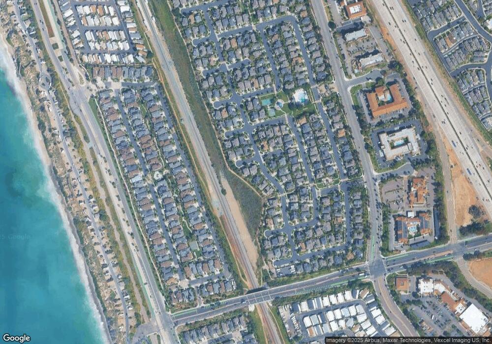
Map
Nearby Homes
- 605 Seaward Ave
- 7039 Whitewater St
- 6550 Ponto Dr Unit 76
- 6550 Ponto Dr Unit 135
- 6550 Ponto Dr Unit 110
- 6550 Ponto Dr Unit 14
- 6550 Ponto Dr Unit 60
- 6871 Seaspray Ln
- 7025 San Bartolo St Unit 42
- 7243 San Luis St Unit 257
- 7218 San Lucas St Unit 189
- 7234 Santa Barbara St Unit 319
- 7221 San Luis St
- 7008 San Bartolo St Unit 27
- 7232 Santa Barbara St Unit 318
- 7213 San Luis St Unit 171
- 7027 San Bartolo St Unit 43
- 7023 San Bartolo St Unit 41
- 7004 San Carlos St Unit 67
- 7239 San Luis St Unit 184
- 6799 Shoreline Dr
- 6969 Shoreline Dr
- 612 Brookside Ct
- 608 Brookside Ct
- 616 Brookside Ct
- 6973 Shoreline Dr
- 621 Brookside Ct
- 6977 Shoreline Dr
- 611 Coral Reef Ave
- 615 Coral Reef Ave
- 607 Coral Reef Ave
- 6970 Shoreline Dr
- 624 Brookside Ct
- 625 Brookside Ct
- 619 Coral Reef Ave
- 6981 Shoreline Dr
- 6974 Shoreline Dr
- 628 Brookside Ct
- 623 Coral Reef Ave
- 6978 Shoreline Dr
Your Personal Tour Guide
Ask me questions while you tour the home.