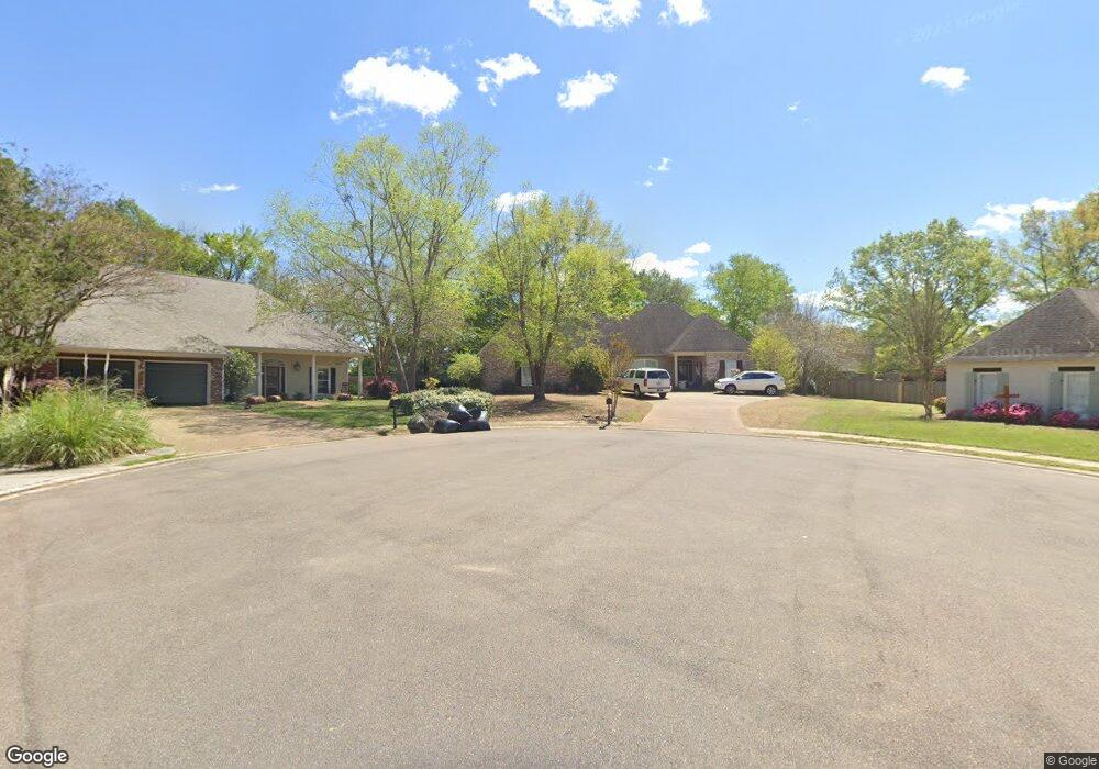
613 Crestridge Ct Madison, MS 39110
Estimated Value: $325,642 - $431,000
4
Beds
5
Baths
2,744
Sq Ft
$138/Sq Ft
Est. Value
About This Home
This home is located at 613 Crestridge Ct, Madison, MS 39110 and is currently estimated at $379,911, approximately $138 per square foot. 613 Crestridge Ct is a home located in Madison County with nearby schools including Madison Avenue Upper Elementary School, Madison Avenue Elementary, and Madison Middle School.
Ownership History
Date
Name
Owned For
Owner Type
Purchase Details
Closed on
Aug 9, 2006
Sold by
Gilbert Jeffrey K and Gilbert Peggie S
Bought by
Mccalop Matthew H and Mccalop Gretchen G
Current Estimated Value
Create a Home Valuation Report for This Property
The Home Valuation Report is an in-depth analysis detailing your home's value as well as a comparison with similar homes in the area
Home Values in the Area
Average Home Value in this Area
Purchase History
| Date | Buyer | Sale Price | Title Company |
|---|---|---|---|
| Mccalop Matthew H | -- | None Available |
Source: Public Records
Tax History
| Year | Tax Paid | Tax Assessment Tax Assessment Total Assessment is a certain percentage of the fair market value that is determined by local assessors to be the total taxable value of land and additions on the property. | Land | Improvement |
|---|---|---|---|---|
| 2025 | $2,469 | $23,760 | $0 | $0 |
| 2024 | $2,469 | $23,760 | $0 | $0 |
| 2023 | $2,469 | $23,760 | $0 | $0 |
| 2022 | $2,469 | $23,760 | $0 | $0 |
| 2021 | $2,362 | $22,843 | $0 | $0 |
| 2020 | $2,362 | $22,843 | $0 | $0 |
| 2019 | $2,362 | $22,843 | $0 | $0 |
| 2018 | $2,362 | $22,843 | $0 | $0 |
| 2017 | $2,319 | $22,477 | $0 | $0 |
| 2016 | $2,319 | $22,477 | $0 | $0 |
| 2015 | $2,319 | $22,477 | $0 | $0 |
| 2014 | $2,612 | $24,988 | $0 | $0 |
Source: Public Records
Map
Nearby Homes
- 1205 Woodberry Dr
- 112 Woodsong Way
- 865 Wellington Way
- 161 Victoria Place
- 209 Pine Place
- 1241 Woodberry Dr
- 105 Victoria Place
- 212 N Ridge Dr
- 290 Geneva Blvd
- 169 Saint Ives Dr
- 138 Oakmont Dr
- 717 Wildberry Pointe
- 325 Mockingbird Ln
- 1141 Highway 51
- 106 Normandy Ct
- 202 Saint Pierre Cove
- 636 Live Oak Dr
- 235 Hawthorne Dr
- 422 Summerville Dr
- 200 Hawthorne Dr
- 609 Crestridge Ct
- 369 S Place Dr
- 612 Crestridge Ct
- 368 S Place Dr
- 1009 Laramie Ct
- 608 Crestridge Ct
- 809 Wellington Way
- 605 Crestridge Ct
- 365 S Place Dr
- 1013 Laramie Ct
- 604 Crestridge Ct
- 805 Wellington Way
- 364 S Place Dr
- 1001 Laramie Ct
- 264 Oak Park Dr
- 361 S Place Dr
- 601 Crestridge Ct
- 260 Oak Park Dr
- 360 S Place Dr
- 1017 Laramie Ct
Your Personal Tour Guide
Ask me questions while you tour the home.