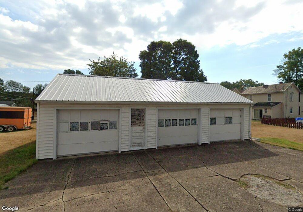
613 E Allen St Lancaster, OH 43130
Estimated Value: $17,620 - $242,000
Studio
--
Bath
--
Sq Ft
5,706
Sq Ft Lot
About This Home
This home is located at 613 E Allen St, Lancaster, OH 43130 and is currently estimated at $164,905. 613 E Allen St is a home located in Fairfield County with nearby schools including Thomas Ewing Junior High School, Lancaster High School, and St Mary Elementary School.
Ownership History
Date
Name
Owned For
Owner Type
Purchase Details
Closed on
Aug 16, 2019
Sold by
Howard Chuck
Bought by
Henderly Stanley K and Henderly Wanda
Current Estimated Value
Purchase Details
Closed on
Aug 25, 2016
Sold by
Ruble Donna
Bought by
Kemper William K
Create a Home Valuation Report for This Property
The Home Valuation Report is an in-depth analysis detailing your home's value as well as a comparison with similar homes in the area
Home Values in the Area
Average Home Value in this Area
Purchase History
| Date | Buyer | Sale Price | Title Company |
|---|---|---|---|
| Henderly Stanley K | $10,500 | None Available | |
| Kemper William K | $6,700 | None Available |
Source: Public Records
Tax History
| Year | Tax Paid | Tax Assessment Tax Assessment Total Assessment is a certain percentage of the fair market value that is determined by local assessors to be the total taxable value of land and additions on the property. | Land | Improvement |
|---|---|---|---|---|
| 2025 | $468 | $6,810 | $3,270 | $3,540 |
| 2024 | $468 | $5,210 | $3,400 | $1,810 |
| 2023 | $194 | $5,210 | $3,400 | $1,810 |
| 2022 | $195 | $5,210 | $3,400 | $1,810 |
| 2021 | $208 | $5,210 | $3,400 | $1,810 |
| 2020 | $209 | $5,210 | $3,400 | $1,810 |
| 2019 | $190 | $5,210 | $3,400 | $1,810 |
| 2018 | $180 | $4,900 | $3,400 | $1,500 |
| 2017 | $180 | $4,700 | $3,200 | $1,500 |
| 2016 | $176 | $4,700 | $3,200 | $1,500 |
| 2015 | $181 | $4,700 | $3,200 | $1,500 |
| 2014 | $173 | $4,700 | $3,200 | $1,500 |
| 2013 | $173 | $4,700 | $3,200 | $1,500 |
Source: Public Records
Map
Nearby Homes
- 538 E 6th Ave
- 736 E Allen St
- 632 N Eastwood Ave
- 641 King St
- 517 N Maple St
- 621 E Mulberry St
- 311 E Allen St
- 831 Franklin Ave
- 233 E 6th Ave
- 627 Harding Ave
- 1006 King St
- 600 N High St
- 0 Boyd St Unit 226002693
- 869 E Mulberry St
- 534 E Wheeling St
- 619 E Main St
- 545 E Main St
- 165 Lake St
- 867 E Wheeling St
- 844 E Wheeling St
- 613 E Allen St
- 617 E Allen St
- 708 N Mount Pleasant Ave
- 710 N Mount Pleasant Ave
- 706 N Mount Pleasant Ave
- 621 E Allen St
- 704 N Mount Pleasant Ave
- 712 N Mount Pleasant Ave
- 625 E Allen St
- 601 E Allen St
- 714 N Mount Pleasant Ave
- 614 Frederick St
- 631 E Allen St
- 561 E Allen St
- 705 N Mount Pleasant Ave
- 707 N Mount Pleasant Ave
- 718 N Mount Pleasant Ave
- 614 E Allen St
- 604 E Allen St
- 610 Frederick St