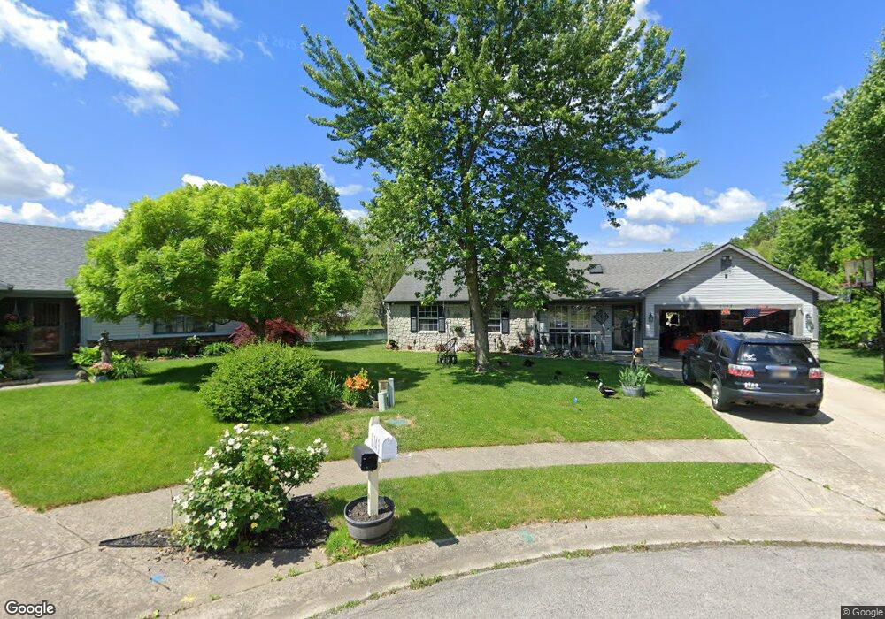
6137 Carrie Ct Indianapolis, IN 46237
South Franklin NeighborhoodEstimated Value: $251,000 - $269,000
3
Beds
2
Baths
1,478
Sq Ft
$175/Sq Ft
Est. Value
About This Home
This home is located at 6137 Carrie Ct, Indianapolis, IN 46237 and is currently estimated at $259,165, approximately $175 per square foot. 6137 Carrie Ct is a home located in Marion County with nearby schools including Franklin Central High School, Curtis Wilson Primary School and Academy, and Southport Presbyterian Christian School.
Ownership History
Date
Name
Owned For
Owner Type
Purchase Details
Closed on
Jun 4, 2013
Sold by
Parc 6 Llc
Bought by
Elunda Consulting Investment Llc
Current Estimated Value
Purchase Details
Closed on
Apr 3, 2013
Sold by
Gifford Sheriff and Gifford Susan A
Bought by
Parc 6 Llc
Purchase Details
Closed on
Feb 11, 2013
Sold by
Sheriff John Layton
Bought by
Federal Home Loan Mortgage Corporation
Create a Home Valuation Report for This Property
The Home Valuation Report is an in-depth analysis detailing your home's value as well as a comparison with similar homes in the area
Home Values in the Area
Average Home Value in this Area
Purchase History
| Date | Buyer | Sale Price | Title Company |
|---|---|---|---|
| Elunda Consulting Investment Llc | -- | -- | |
| Parc 6 Llc | -- | -- | |
| Federal Home Loan Mortgage Corporation | -- | -- |
Source: Public Records
Tax History Compared to Growth
Tax History
| Year | Tax Paid | Tax Assessment Tax Assessment Total Assessment is a certain percentage of the fair market value that is determined by local assessors to be the total taxable value of land and additions on the property. | Land | Improvement |
|---|---|---|---|---|
| 2024 | $4,354 | $229,500 | $25,200 | $204,300 |
| 2023 | $4,354 | $212,400 | $25,200 | $187,200 |
| 2022 | $4,102 | $200,000 | $25,200 | $174,800 |
| 2021 | $3,642 | $177,000 | $25,100 | $151,900 |
| 2020 | $3,265 | $158,300 | $25,100 | $133,200 |
| 2019 | $3,041 | $147,200 | $22,100 | $125,100 |
| 2018 | $2,716 | $131,100 | $22,100 | $109,000 |
| 2017 | $2,558 | $123,300 | $22,200 | $101,100 |
| 2016 | $2,556 | $123,300 | $22,200 | $101,100 |
| 2014 | $2,304 | $115,200 | $22,200 | $93,000 |
| 2013 | $2,092 | $104,600 | $22,200 | $82,400 |
Source: Public Records
Map
Nearby Homes
- 6956 Highland Ridge Ct
- 6943 Highland Ridge Ct
- 7140 Combs Rd
- 6040 E Southport Rd
- 7104 Combs Rd
- 6540 Cougar Ct
- 7225 Henderickson Ln
- 7115 Henderickson Ln
- 6238 E Southport Rd
- 7216 Henderickson Ln
- 5719 Autumn Breeze Ln
- 7628 Combs Rd
- 7209 Sycamore Run Dr
- 7829 Janel Dr
- 7265 Sycamore Run Dr
- 6315 Jakes Place
- 7050 Sycamore Run Dr
- 6633 Muirfield Way
- 5859 Edelle Dr
- 7843 Almond Dr
- 6138 Carrie Ct
- 6143 Carrie Ct
- 6149 Carrie Ct
- 6144 Carrie Ct
- 7213 Muirfield Place
- 6150 Carrie Ct
- 7205 Muirfield Place
- 7188 Carrie Dr
- 7196 Carrie Dr
- 6133 Carrie Place
- 6156 Carrie Ct
- 7221 Muirfield Place
- 6127 Carrie Place
- 6139 Carrie Place
- 7206 Carrie Dr
- 7204 Muirfield Place
- 7156 Carrie Dr
- 6145 Carrie Place
- 6121 Carrie Place
- 7214 Carrie Dr