6139 Secrest Rd Wooster, OH 44691
Estimated Value: $240,000 - $314,000
3
Beds
1
Bath
1,266
Sq Ft
$231/Sq Ft
Est. Value
About This Home
This home is located at 6139 Secrest Rd, Wooster, OH 44691 and is currently estimated at $292,139, approximately $230 per square foot. 6139 Secrest Rd is a home located in Wayne County with nearby schools including Waynedale High School, Maple Grove, and STONE HILL.
Ownership History
Date
Name
Owned For
Owner Type
Purchase Details
Closed on
Oct 25, 2004
Sold by
Rudy Charles E and Rudy Patricia J
Bought by
Rudy Charles E and Rudy Patricia J
Current Estimated Value
Home Financials for this Owner
Home Financials are based on the most recent Mortgage that was taken out on this home.
Original Mortgage
$63,000
Interest Rate
5.85%
Mortgage Type
New Conventional
Create a Home Valuation Report for This Property
The Home Valuation Report is an in-depth analysis detailing your home's value as well as a comparison with similar homes in the area
Home Values in the Area
Average Home Value in this Area
Purchase History
| Date | Buyer | Sale Price | Title Company |
|---|---|---|---|
| Rudy Charles E | -- | Firstmerit Title |
Source: Public Records
Mortgage History
| Date | Status | Borrower | Loan Amount |
|---|---|---|---|
| Closed | Rudy Charles E | $63,000 |
Source: Public Records
Tax History Compared to Growth
Tax History
| Year | Tax Paid | Tax Assessment Tax Assessment Total Assessment is a certain percentage of the fair market value that is determined by local assessors to be the total taxable value of land and additions on the property. | Land | Improvement |
|---|---|---|---|---|
| 2024 | $2,853 | $78,230 | $21,240 | $56,990 |
| 2023 | $2,853 | $78,230 | $21,240 | $56,990 |
| 2022 | $2,212 | $55,090 | $14,960 | $40,130 |
| 2021 | $2,217 | $55,090 | $14,960 | $40,130 |
| 2020 | $2,241 | $55,090 | $14,960 | $40,130 |
| 2019 | $1,919 | $46,020 | $13,850 | $32,170 |
| 2018 | $1,994 | $46,020 | $13,850 | $32,170 |
| 2017 | $1,836 | $46,020 | $13,850 | $32,170 |
| 2016 | $1,785 | $40,010 | $12,040 | $27,970 |
| 2015 | $1,655 | $40,010 | $12,040 | $27,970 |
| 2014 | $1,663 | $40,010 | $12,040 | $27,970 |
| 2013 | $1,659 | $38,280 | $11,420 | $26,860 |
Source: Public Records
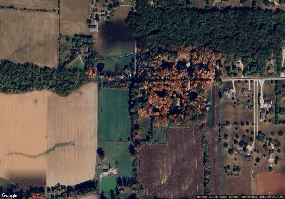
Map
Nearby Homes
- 3450 Secrest Rd
- 5311 Canal Rd
- 24 Silver Pond Dr
- 1043 N Honeytown Rd
- 3299 Crestview Dr
- 3125 Dover Rd
- 1474 N Honeytown Rd
- 660 Millborne Rd
- 2530 Tuckahoe Rd
- 4622 S Apple Creek Rd
- 4639 Westwood Dr
- 0 E Main St
- 24 Shannon Dr
- 1762 Pine Cove
- 136 Spring Run Dr
- 1790 Pine Cove
- 2667 Eastwood Dr
- 2754 Millersburg Rd
- 1530 Willoughby Dr
- 8191 Back Orrville Rd
- 6139 Secrest Rd
- 6077 Secrest Rd
- 6151 Secrest Rd
- 6173 Secrest Rd
- 6080 Secrest Rd
- 6120 Secrest Rd
- 6039 Secrest Rd
- 6150 Secrest Rd
- 6201 Secrest Rd
- 6182 Secrest Rd
- 5964 Secrest Rd
- 6220 Secrest Rd
- 6245 Secrest Rd
- 5932 Secrest Rd
- 6258 Secrest Rd
- 6041 Secrest Rd
- 6283 Secrest Rd
- 5908 Secrest Rd
- 5917 Secrest Rd
- 6299 Secrest Rd