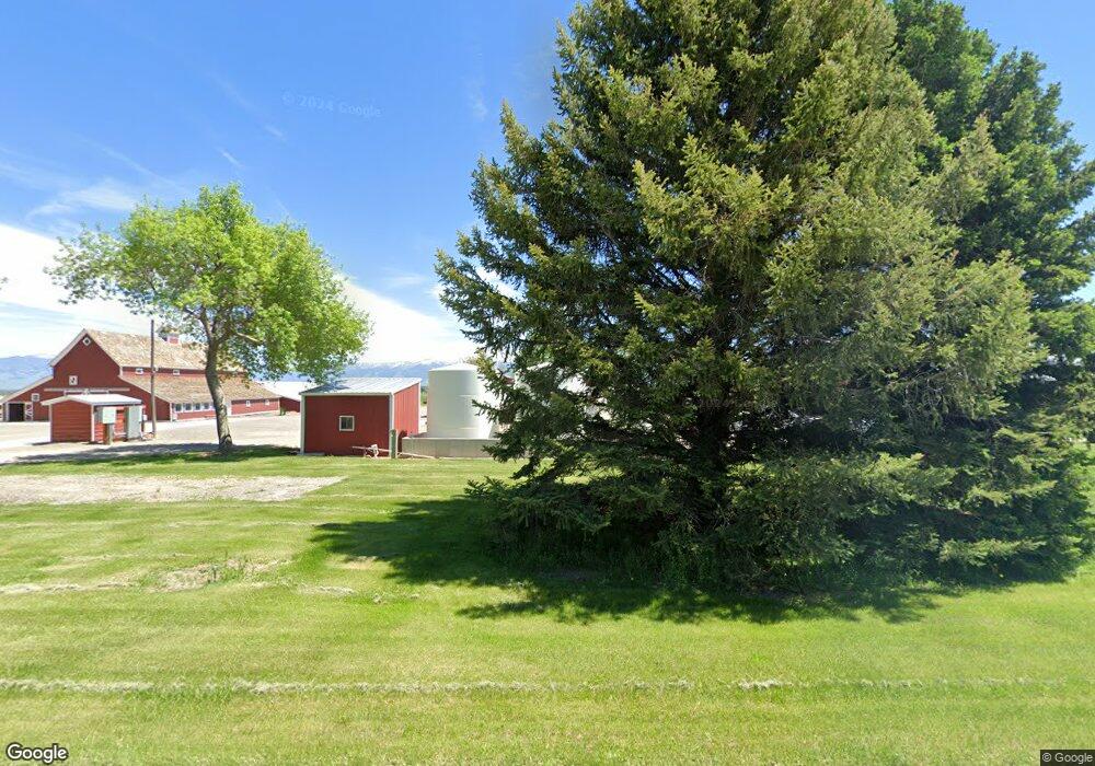
6140 Kimm Rd Manhattan, MT 59741
Estimated Value: $1,618,000 - $1,797,660
4
Beds
2
Baths
3,925
Sq Ft
$435/Sq Ft
Est. Value
About This Home
This home is located at 6140 Kimm Rd, Manhattan, MT 59741 and is currently estimated at $1,707,830, approximately $435 per square foot. 6140 Kimm Rd is a home located in Gallatin County with nearby schools including Meadowlark Elementary School, Chief Joseph Middle School, and Gallatin High School.
Ownership History
Date
Name
Owned For
Owner Type
Purchase Details
Closed on
Jun 7, 2011
Sold by
Kimm Mark
Bought by
Kimm Mark and Kimm William
Current Estimated Value
Home Financials for this Owner
Home Financials are based on the most recent Mortgage that was taken out on this home.
Original Mortgage
$186,500
Interest Rate
4.71%
Mortgage Type
New Conventional
Create a Home Valuation Report for This Property
The Home Valuation Report is an in-depth analysis detailing your home's value as well as a comparison with similar homes in the area
Purchase History
| Date | Buyer | Sale Price | Title Company |
|---|---|---|---|
| Kimm Mark | -- | American Land Title Company |
Source: Public Records
Mortgage History
| Date | Status | Borrower | Loan Amount |
|---|---|---|---|
| Closed | Kimm Mark | $186,500 |
Source: Public Records
Tax History Compared to Growth
Tax History
| Year | Tax Paid | Tax Assessment Tax Assessment Total Assessment is a certain percentage of the fair market value that is determined by local assessors to be the total taxable value of land and additions on the property. | Land | Improvement |
|---|---|---|---|---|
| 2025 | $7,638 | $1,678,915 | $0 | $0 |
| 2024 | $7,521 | $1,427,500 | $0 | $0 |
| 2023 | $7,233 | $1,427,500 | $0 | $0 |
| 2022 | $7,093 | $1,085,612 | $0 | $0 |
| 2021 | $7,839 | $1,085,612 | $0 | $0 |
| 2020 | $6,804 | $932,761 | $0 | $0 |
| 2019 | $6,708 | $932,761 | $0 | $0 |
| 2018 | $6,811 | $854,050 | $0 | $0 |
| 2017 | $6,274 | $854,050 | $0 | $0 |
| 2016 | $5,915 | $754,508 | $0 | $0 |
| 2015 | $3,679 | $467,408 | $0 | $0 |
| 2014 | $3,493 | $261,504 | $0 | $0 |
Source: Public Records
Map
Nearby Homes
- 8005 Churchill Rd
- 478 Pacer Landing
- Tract 5 (82 Acres) Churchill Rd
- Tract 3 (38 Acres) Churchill Rd
- Tract 4 (46 Acres) Churchill Rd
- 245 Kunje Blvd
- NHN Cushing Ln
- tbd Camp Creek Rd
- Lot 3 Dyksterhouse Ln
- Lot 4 Dkysterhouse Ln
- Lot 2 Dyksterhouse Ln
- Lot 1 Ln
- 4533 Linney Rd Unit 4565 + 4501
- 3455 Linney Rd
- 164 Wapiti Way
- NHN River Rd
- 9670 Prairie Rd
- 624 Rocking Horse Dr
- 8555 Camp Creek Rd
- 3425 Amsterdam Rd
- 6015 Kimm Rd
- 6300 Kimm Rd
- 5200 W Cameron Bridge Rd
- 5241 W Cameron Bridge Rd
- 5277 W Cameron Bridge Rd
- 5317 W Cameron Bridge Rd
- 4575 W Cameron Bridge Rd
- 8910 Churchill Rd
- 5565 W Cameron Bridge Rd
- 5585 W Cameron Bridge Rd
- 5600 W Cameron Bridge Rd
- 8300 Churchill Rd
- 8670 Churchill Rd
- 6905 Kimm Rd
- 6289 Pearl Dr
- 8455 Churchill Rd
- 6251 Pearl Dr
- 8383 Churchill Rd
- 8220 Churchill Rd
- 8220 Churchill Rd