6142 N Hart Rd Springfield, TN 37172
Estimated Value: $717,000 - $982,363
Studio
3
Baths
2,532
Sq Ft
$336/Sq Ft
Est. Value
About This Home
This home is located at 6142 N Hart Rd, Springfield, TN 37172 and is currently estimated at $849,682, approximately $335 per square foot. 6142 N Hart Rd is a home located in Robertson County with nearby schools including Krisle Elementary School, Innovation Academy, and Springfield High School.
Ownership History
Date
Name
Owned For
Owner Type
Purchase Details
Closed on
Nov 12, 2013
Sold by
Taylor Faye P
Bought by
Taylor James R
Current Estimated Value
Home Financials for this Owner
Home Financials are based on the most recent Mortgage that was taken out on this home.
Original Mortgage
$229,275
Outstanding Balance
$169,935
Interest Rate
4.23%
Mortgage Type
Commercial
Estimated Equity
$679,747
Purchase Details
Closed on
Sep 21, 1988
Bought by
Taylor James and Taylor Faye
Purchase Details
Closed on
Dec 24, 1984
Bought by
Taylor James and Taylor Faye
Purchase Details
Closed on
Oct 25, 1978
Bought by
Taylor James and Taylor Faye
Purchase Details
Closed on
Mar 31, 1976
Bought by
Taylor James and Taylor Faye
Purchase Details
Closed on
Jan 1, 1976
Create a Home Valuation Report for This Property
The Home Valuation Report is an in-depth analysis detailing your home's value as well as a comparison with similar homes in the area
Home Values in the Area
Average Home Value in this Area
Purchase History
| Date | Buyer | Sale Price | Title Company |
|---|---|---|---|
| Taylor James R | -- | -- | |
| Taylor James | -- | -- | |
| Taylor James | -- | -- | |
| Taylor James | -- | -- | |
| Taylor James | -- | -- | |
| -- | $33,800 | -- |
Source: Public Records
Mortgage History
| Date | Status | Borrower | Loan Amount |
|---|---|---|---|
| Open | Taylor James R | $229,275 |
Source: Public Records
Tax History
| Year | Tax Paid | Tax Assessment Tax Assessment Total Assessment is a certain percentage of the fair market value that is determined by local assessors to be the total taxable value of land and additions on the property. | Land | Improvement |
|---|---|---|---|---|
| 2025 | $2,632 | $146,200 | $49,525 | $96,675 |
| 2024 | $2,632 | $146,200 | $49,525 | $96,675 |
| 2023 | $2,632 | $146,200 | $49,525 | $96,675 |
| 2022 | $2,218 | $86,100 | $34,050 | $52,050 |
| 2021 | $2,218 | $86,100 | $34,050 | $52,050 |
| 2020 | $2,218 | $86,100 | $34,050 | $52,050 |
| 2019 | $2,218 | $86,100 | $34,050 | $52,050 |
| 2018 | $2,218 | $86,100 | $34,050 | $52,050 |
| 2017 | $2,250 | $72,925 | $27,875 | $45,050 |
| 2016 | $2,250 | $72,925 | $27,875 | $45,050 |
| 2015 | $2,159 | $72,925 | $27,875 | $45,050 |
| 2014 | $2,159 | $72,925 | $27,875 | $45,050 |
Source: Public Records
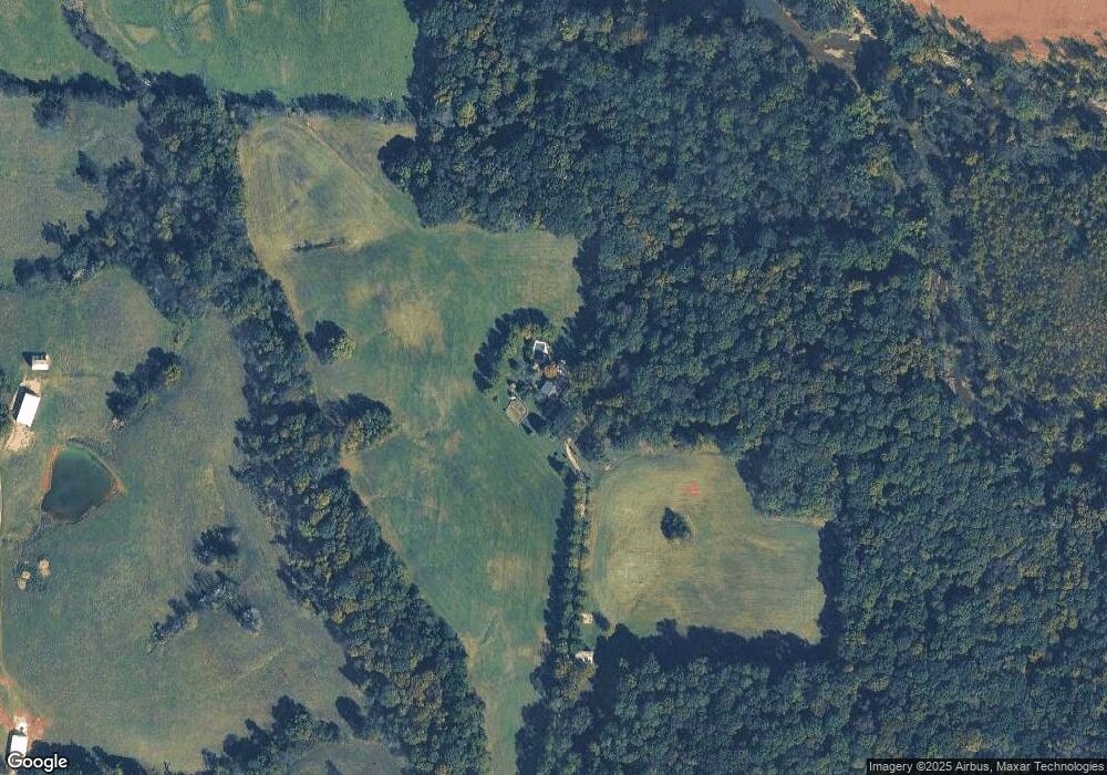
Map
Nearby Homes
- 5867 Borthick Rd
- 5345 Ashburn Rd
- 5654 Borthick Rd
- 6538 Highway 431 N
- 5257 Fred Perry Rd
- 5558 Borthick Rd
- 233 E Gallatin St
- 290 Old Russellville Loop
- 305 W Gallatin St
- 320 N High St
- 131 Smith Ave
- 4785 Pulliam Hardaway Rd
- 5969 S Lamont Rd
- 1968 Schley Rd
- 6056 S Lamont Rd
- 4920 Youngville Rd
- 7027 Cowan Rd
- 5730 Lakeview Rd
- 6160 Underwood Rd
- 6437 Hopewell Rd
- 6067 Burney Rd
- 5971 N Hart Rd
- 5538 Ashburn Rd
- 5987 Burney Rd
- 5968 Burney Rd
- 5736 Ashburn Rd
- 5737 Ashburn Rd
- 5752 Ashburn Rd
- 7B Ashburn Rd
- 5741 Ashburn Rd
- 5772 Ashburn Rd
- 5498 Ashburn Rd
- 5878 Borthick Rd
- 5809 Ashburn Rd
- 5577 Ashburn Rd
- 5823 Ashburn Rd
- 5544 Ashburn Rd
- 5544 Ashburn Rd
- 6057 State Line Rd
- 5454 Ashburn Rd
Your Personal Tour Guide
Ask me questions while you tour the home.