6143 10th St NE Buffalo, MN 55313
Estimated Value: $733,000 - $1,081,000
4
Beds
4
Baths
3,416
Sq Ft
$267/Sq Ft
Est. Value
About This Home
This home is located at 6143 10th St NE, Buffalo, MN 55313 and is currently estimated at $910,548, approximately $266 per square foot. 6143 10th St NE is a home located in Wright County with nearby schools including Parkside Elementary School, Buffalo Community Middle School, and Buffalo Senior High School.
Ownership History
Date
Name
Owned For
Owner Type
Purchase Details
Closed on
Feb 16, 1999
Sold by
Otten Donald J and Otten Mary Jane
Bought by
Theien Marty R and Theien Jodi L
Current Estimated Value
Purchase Details
Closed on
May 1, 1998
Sold by
Otten Donald J and Otten Mary Jane
Bought by
Theien Marty R and Theien Jodi L
Create a Home Valuation Report for This Property
The Home Valuation Report is an in-depth analysis detailing your home's value as well as a comparison with similar homes in the area
Home Values in the Area
Average Home Value in this Area
Purchase History
| Date | Buyer | Sale Price | Title Company |
|---|---|---|---|
| Theien Marty R | $98,000 | -- | |
| Theien Marty R | $98,000 | -- |
Source: Public Records
Mortgage History
| Date | Status | Borrower | Loan Amount |
|---|---|---|---|
| Closed | Theien Marty R | -- |
Source: Public Records
Tax History
| Year | Tax Paid | Tax Assessment Tax Assessment Total Assessment is a certain percentage of the fair market value that is determined by local assessors to be the total taxable value of land and additions on the property. | Land | Improvement |
|---|---|---|---|---|
| 2025 | $8,328 | $797,500 | $341,900 | $455,600 |
| 2024 | $8,258 | $777,200 | $331,900 | $445,300 |
| 2023 | $8,332 | $796,900 | $331,900 | $465,000 |
| 2022 | $7,756 | $735,500 | $321,200 | $414,300 |
| 2021 | $8,004 | $598,900 | $230,600 | $368,300 |
| 2020 | $8,030 | $593,200 | $230,600 | $362,600 |
| 2019 | $6,906 | $577,300 | $0 | $0 |
| 2018 | $6,308 | $4,900 | $0 | $0 |
| 2017 | $6,126 | $514,300 | $0 | $0 |
| 2016 | $5,446 | $0 | $0 | $0 |
| 2015 | $5,310 | $0 | $0 | $0 |
| 2014 | -- | $0 | $0 | $0 |
Source: Public Records
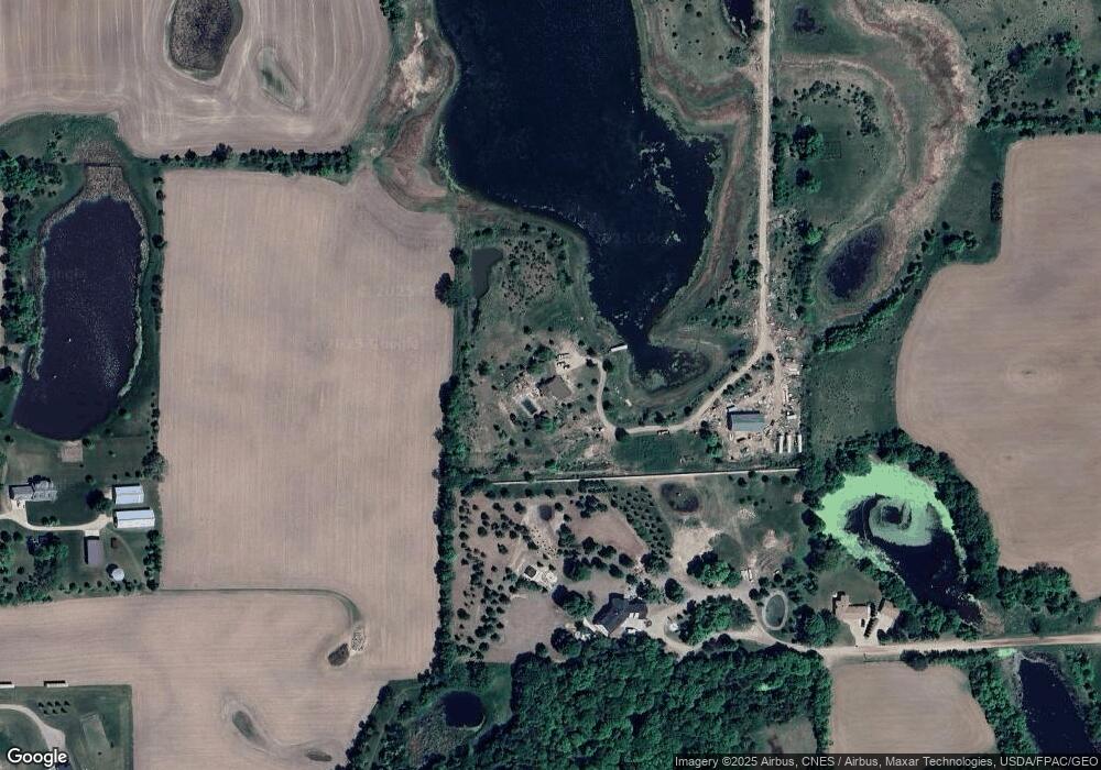
Map
Nearby Homes
- 33 Halsey Ave SE
- 4113 County Road 33 SE
- 5057 Fairhill Dr SE
- 2169 Ibson Ave SE
- 2409 Jaber Ave NE
- 379 Jandel Ave NE
- xxxx Jamison Ave NE
- xxxx Jalger Ave SE
- 604 Jandel Ave NE
- 2452 Eaton Ave SE
- 9701 Jasmine Ave NE
- 697 Jansen Ave SE
- 9733 Jasmine Ave NE
- 1205 Deerpath Dr NE
- 9746 Jasmine Ave NE
- 2600 Ivy Ave NE
- 9750 Jasmine Ave NE
- 9756 Jasmine Ave NE
- 2621 Ivy Ave NE
- 1074 Ashbury Ln NE
- 6070 5th St NE
- 6220 5th St NE
- 6155 5th St NE
- 6061 10th St NE
- 5754 5th St NE
- 6209 10th St NE
- 5747 5th St NE
- 5941 10th St NE
- 6177 10th St NE
- 690 Garrison Ave NE
- xxx Garrison Ave NE
- 5552 5th St NE
- 5657 5th St NE
- 6380 10th St NE
- 961 Garrison Ave NE
- 361 Garrison Ave NE
- 530 Garrison Ave NE
- 475 Farmington Ave NE
- 635 Farmington Ave NE
- 111 Garrison Ave NE
Your Personal Tour Guide
Ask me questions while you tour the home.