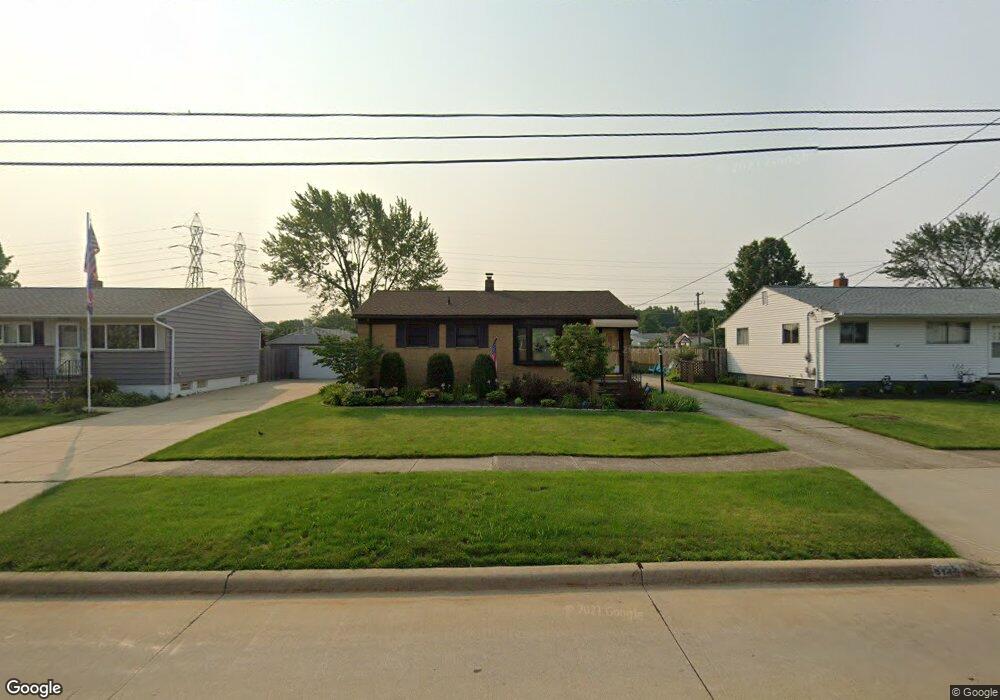
6145 Michael Dr Brookpark, OH 44142
Estimated Value: $183,000 - $226,000
3
Beds
1
Bath
1,008
Sq Ft
$207/Sq Ft
Est. Value
About This Home
This home is located at 6145 Michael Dr, Brookpark, OH 44142 and is currently estimated at $208,247, approximately $206 per square foot. 6145 Michael Dr is a home located in Cuyahoga County with nearby schools including Berea-Midpark Middle School, Berea-Midpark High School, and Huber Heights Preparatory Academy Parma Academy.
Ownership History
Date
Name
Owned For
Owner Type
Purchase Details
Closed on
Apr 3, 1985
Sold by
Damico Anthony J and Damico Michelle
Bought by
Damico Anthony J and Damico Michelle
Current Estimated Value
Purchase Details
Closed on
Mar 30, 1982
Bought by
Damico Anthony J and Damico Michelle
Purchase Details
Closed on
Nov 7, 1980
Sold by
Chapman Clarence M and Chapman Jean
Bought by
Springwood Homes Inc
Purchase Details
Closed on
Jan 1, 1975
Bought by
Chapman Clarence M and Chapman Jean
Create a Home Valuation Report for This Property
The Home Valuation Report is an in-depth analysis detailing your home's value as well as a comparison with similar homes in the area
Home Values in the Area
Average Home Value in this Area
Purchase History
| Date | Buyer | Sale Price | Title Company |
|---|---|---|---|
| Damico Anthony J | -- | -- | |
| Damico Anthony J | $54,500 | -- | |
| Springwood Homes Inc | $61,900 | -- | |
| Chapman Clarence M | -- | -- |
Source: Public Records
Tax History
| Year | Tax Paid | Tax Assessment Tax Assessment Total Assessment is a certain percentage of the fair market value that is determined by local assessors to be the total taxable value of land and additions on the property. | Land | Improvement |
|---|---|---|---|---|
| 2024 | $3,098 | $61,425 | $12,880 | $48,545 |
| 2023 | $3,045 | $48,900 | $10,750 | $38,150 |
| 2022 | $2,924 | $48,340 | $10,750 | $37,590 |
| 2021 | $2,907 | $48,340 | $10,750 | $37,590 |
| 2020 | $2,620 | $38,360 | $8,540 | $29,820 |
| 2019 | $2,542 | $109,600 | $24,400 | $85,200 |
| 2018 | $2,388 | $38,360 | $8,540 | $29,820 |
| 2017 | $2,432 | $34,030 | $7,600 | $26,430 |
| 2016 | $2,411 | $34,030 | $7,600 | $26,430 |
| 2015 | $2,263 | $34,030 | $7,600 | $26,430 |
| 2014 | $2,263 | $34,030 | $7,600 | $26,430 |
Source: Public Records
Map
Nearby Homes
- 6095 Stark Dr
- 6103 Westbrook Dr
- 6131 Hardin Dr
- 6014 Westbrook Dr
- 14024 Donald Dr
- 14396 Park Dr
- 13874 Heatherwood Dr
- 15424 Holland Rd
- 5889 Westbrook Dr
- 13602 Holland Rd
- 14398 Sheldon Rd
- 15532 Rademaker Dr
- 5727 Gateway Ln Unit 1203
- 6386 Sandfield Dr
- 5757 Defiance Ave
- 6377 Ledgebrook Dr
- 6330 Ledgebrook Dr
- 16117 Hocking Blvd
- 13750 Belfair Dr
- 6333 W 130th St
- 6135 Michael Dr
- 6155 Michael Dr
- 6129 Michael Dr
- 6161 Michael Dr
- 6127 Michael Dr
- 6165 Michael Dr
- 6140 Michael Dr
- 6130 Michael Dr
- 6150 Michael Dr
- 6125 Michael Dr
- 6175 Michael Dr
- 6170 Michael Dr
- 6068 Middlebrook Blvd
- 6185 Michael Dr
- 6123 Michael Dr
- 14570 Greystone Dr
- 14545 Sylvia Dr
- 6118 Michael Dr
- 6180 Michael Dr
- 6195 Michael Dr
Your Personal Tour Guide
Ask me questions while you tour the home.