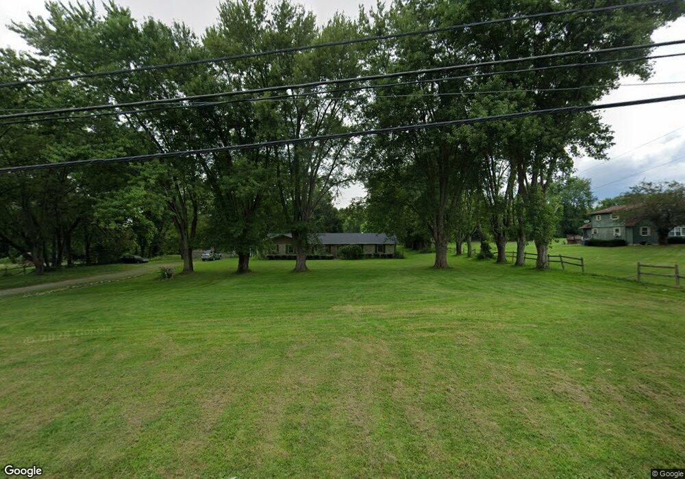
6145 N State Route 48 Lebanon, OH 45036
Clearcreek Township NeighborhoodEstimated Value: $434,880 - $536,000
3
Beds
2
Baths
2,244
Sq Ft
$222/Sq Ft
Est. Value
About This Home
This home is located at 6145 N State Route 48, Lebanon, OH 45036 and is currently estimated at $498,720, approximately $222 per square foot. 6145 N State Route 48 is a home located in Warren County with nearby schools including Clearcreek Elementary School, Springboro Intermediate School, and Dennis Elementary School.
Ownership History
Date
Name
Owned For
Owner Type
Purchase Details
Closed on
Mar 1, 2007
Sold by
Pietrowski Ernest A
Bought by
Pietrowski Jacky Lindsay
Current Estimated Value
Purchase Details
Closed on
Apr 28, 1998
Sold by
Davis Susan
Bought by
Pietrowski Jacky L
Purchase Details
Closed on
Apr 21, 1988
Sold by
Lindsay Robert P and Lindsay Elen
Bought by
Lindsay and Lindsay Helen R
Purchase Details
Closed on
Nov 21, 1979
Sold by
Lindsay Lindsay and Lindsay Helen R
Create a Home Valuation Report for This Property
The Home Valuation Report is an in-depth analysis detailing your home's value as well as a comparison with similar homes in the area
Home Values in the Area
Average Home Value in this Area
Purchase History
| Date | Buyer | Sale Price | Title Company |
|---|---|---|---|
| Pietrowski Jacky Lindsay | -- | Attorney | |
| Pietrowski Jacky L | $71,609 | -- | |
| Lindsay | -- | -- | |
| -- | -- | -- |
Source: Public Records
Tax History Compared to Growth
Tax History
| Year | Tax Paid | Tax Assessment Tax Assessment Total Assessment is a certain percentage of the fair market value that is determined by local assessors to be the total taxable value of land and additions on the property. | Land | Improvement |
|---|---|---|---|---|
| 2024 | $3,966 | $106,670 | $36,530 | $70,140 |
| 2023 | $3,299 | $84,402 | $22,092 | $62,310 |
| 2022 | $3,299 | $84,403 | $22,092 | $62,311 |
| 2021 | $3,104 | $84,403 | $22,092 | $62,311 |
| 2020 | $2,841 | $68,621 | $17,962 | $50,659 |
| 2019 | $2,634 | $68,621 | $17,962 | $50,659 |
| 2018 | $2,522 | $68,621 | $17,962 | $50,659 |
| 2017 | $2,526 | $61,968 | $15,939 | $46,029 |
| 2016 | $2,635 | $61,968 | $15,939 | $46,029 |
| 2015 | $2,633 | $61,968 | $15,939 | $46,029 |
| 2014 | $2,494 | $55,990 | $14,900 | $41,100 |
| 2013 | $3,009 | $66,440 | $16,720 | $49,720 |
Source: Public Records
Map
Nearby Homes
- 420 Fitchs Farm Ct
- 4870 Bunnell Hill Rd
- 6887 Bunnell Hill Rd
- 7491 Country Brook Ct
- 7510 Country Brook Ct
- 4904 Bunnell Hill Rd
- 7250 Beaver Brook Dr
- 0 Vicki Ln Unit 926808
- 2300 Pekin Rd
- 7660 Horizon Hill Dr
- 7940 Bunnell Hill Rd
- 1744 Harlan Rd
- 4228 Utica Rd
- Lot 5- 2.6770acres Weisenberger Rd
- 7607 Stone Ridge Dr
- 7876 Tall Trees Ct
- 7476 Waterway Dr
- 8234 Voltaire Ct
- 75 Merritt Pass
- 814 Valley View Point
- 6205 N State Route 48
- 6205 N St Rt 48
- 6123 Ohio 48
- 6123 N State Route 48
- 6105 N State Route 48
- 6222 N State Route 48
- 6222 N State Route 48
- 6241 N State Route 48
- 6104 N State Route 48
- 6075 N State Route 48
- 6104 Ohio 48
- 6122 N State Route 48
- 6174 N State Route 48
- 6011 N State Route 48
- 6012 N State Route 48
- 6070 N State Route 48
- 6095 N State Route 48
- 6095 N St Route 48
- 6395 West St
- 0 N Route 48 Unit 727306