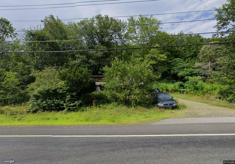
615 Forest Rd Alstead, NH 03602
Estimated Value: $64,000 - $147,000
1
Bed
2
Baths
926
Sq Ft
$105/Sq Ft
Est. Value
About This Home
This home is located at 615 Forest Rd, Alstead, NH 03602 and is currently estimated at $97,230, approximately $105 per square foot. 615 Forest Rd is a home with nearby schools including Alstead Primary School, Vilas Elementary School, and Fall Mountain Regional High School.
Ownership History
Date
Name
Owned For
Owner Type
Purchase Details
Closed on
Dec 6, 2024
Sold by
Fiske David G
Bought by
Phinney Robert E and Phinney Donna
Current Estimated Value
Home Financials for this Owner
Home Financials are based on the most recent Mortgage that was taken out on this home.
Original Mortgage
$56,000
Outstanding Balance
$55,538
Interest Rate
6.54%
Mortgage Type
Purchase Money Mortgage
Estimated Equity
$41,692
Create a Home Valuation Report for This Property
The Home Valuation Report is an in-depth analysis detailing your home's value as well as a comparison with similar homes in the area
Purchase History
| Date | Buyer | Sale Price | Title Company |
|---|---|---|---|
| Phinney Robert E | $60,000 | None Available |
Source: Public Records
Mortgage History
| Date | Status | Borrower | Loan Amount |
|---|---|---|---|
| Open | Phinney Robert E | $56,000 |
Source: Public Records
Tax History
| Year | Tax Paid | Tax Assessment Tax Assessment Total Assessment is a certain percentage of the fair market value that is determined by local assessors to be the total taxable value of land and additions on the property. | Land | Improvement |
|---|---|---|---|---|
| 2024 | $1,673 | $62,000 | $40,800 | $21,200 |
| 2023 | $1,577 | $62,000 | $40,800 | $21,200 |
| 2022 | $1,528 | $62,000 | $40,800 | $21,200 |
| 2021 | $1,442 | $62,000 | $40,800 | $21,200 |
| 2020 | $1,514 | $62,000 | $40,800 | $21,200 |
| 2019 | $1,398 | $50,200 | $30,500 | $19,700 |
| 2018 | $1,358 | $50,200 | $30,500 | $19,700 |
| 2017 | $1,339 | $50,200 | $30,500 | $19,700 |
| 2016 | $1,351 | $50,200 | $30,500 | $19,700 |
| 2015 | $1,332 | $50,200 | $30,500 | $19,700 |
| 2014 | $1,416 | $59,500 | $34,400 | $25,100 |
| 2013 | $1,595 | $59,500 | $34,400 | $25,100 |
Source: Public Records
Map
Nearby Homes
- 82 Camp Brook Rd
- 00 New Hampshire 123
- 411 Alstead Center Rd
- 540 Hill Rd
- 178 North Rd
- 00 Alstead Center Rd Unit 12b
- 135 Forest Rd
- 21 Main St
- 16 Vilas Rd
- 55 River St
- 100 River St
- 203 Winch Hill Rd
- 266 Tory Hill Rd
- 125 Winch Hill Rd
- 33 Maclean Rd
- 63 Village Rd
- 00 Cold River Rd Unit 3014.0
- 234 Old Cheshire Turnpike
- 563 Holden Hill Rd
- 363 March Hill Rd
- 577 Forest Rd
- 29 Hemlock Ledge Ln
- 577 New Hampshire 123
- 545 Forest Rd
- 561 Nh Rt 123a
- 138 Camp Brook Rd
- 106 Camp Brook Rd
- 507 Forest Rd
- 83 Camp Brook Rd
- 0 Route 123 Murphy Hill Rd Unit 4326838
- 7 Rhoades Rd
- 63 Camp Brook Rd
- 00 Camp Brook Rd
- Lot 67 Camp Brook Rd
- 525 Forest Rd
- 212 Camp Brook Rd
- 29 Camp Brook Rd
- 12 Cobb Hill Rd
- LOT 1 Route 123 & Cobb Hill Rd
- 34 Cobb Hill Rd
Your Personal Tour Guide
Ask me questions while you tour the home.