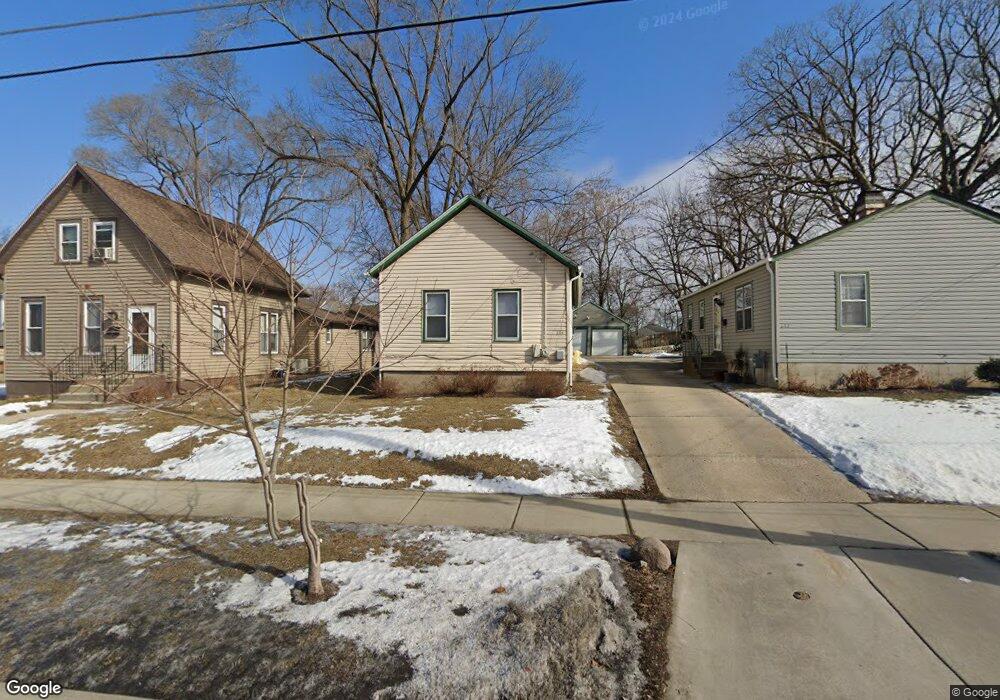
615 Raymond St Unit 17 Elgin, IL 60120
Elgin National Watch Historic District NeighborhoodEstimated Value: $225,000 - $244,553
--
Bed
--
Bath
720
Sq Ft
$329/Sq Ft
Est. Value
About This Home
This home is located at 615 Raymond St Unit 17, Elgin, IL 60120 and is currently estimated at $237,138, approximately $329 per square foot. 615 Raymond St Unit 17 is a home located in Kane County with nearby schools including Garfield Elementary School, Kenyon Woods Middle School, and South Elgin High School.
Ownership History
Date
Name
Owned For
Owner Type
Purchase Details
Closed on
Jun 27, 2008
Sold by
Lopez Rolando
Bought by
Perez Sonia N and Lopez Sonia N
Current Estimated Value
Home Financials for this Owner
Home Financials are based on the most recent Mortgage that was taken out on this home.
Original Mortgage
$153,000
Outstanding Balance
$98,855
Interest Rate
6.1%
Mortgage Type
Purchase Money Mortgage
Estimated Equity
$138,283
Purchase Details
Closed on
Jun 3, 1998
Sold by
South Max U and South Mildred W
Bought by
Lopez Rolando and Lopez Sonia N
Home Financials for this Owner
Home Financials are based on the most recent Mortgage that was taken out on this home.
Original Mortgage
$125,424
Interest Rate
7.15%
Mortgage Type
FHA
Create a Home Valuation Report for This Property
The Home Valuation Report is an in-depth analysis detailing your home's value as well as a comparison with similar homes in the area
Home Values in the Area
Average Home Value in this Area
Purchase History
| Date | Buyer | Sale Price | Title Company |
|---|---|---|---|
| Perez Sonia N | -- | Chicago Title Insurance Co | |
| Lopez Rolando | $127,000 | Chicago Title Insurance Co | |
| South Max U | $95,000 | Chicago Title Insurance Co |
Source: Public Records
Mortgage History
| Date | Status | Borrower | Loan Amount |
|---|---|---|---|
| Open | Perez Sonia N | $153,000 | |
| Previous Owner | Lopez Rolando | $125,424 |
Source: Public Records
Tax History Compared to Growth
Tax History
| Year | Tax Paid | Tax Assessment Tax Assessment Total Assessment is a certain percentage of the fair market value that is determined by local assessors to be the total taxable value of land and additions on the property. | Land | Improvement |
|---|---|---|---|---|
| 2024 | $5,865 | $84,278 | $16,394 | $67,884 |
| 2023 | $5,786 | $75,869 | $14,811 | $61,058 |
| 2022 | $5,478 | $69,179 | $13,505 | $55,674 |
| 2021 | $5,235 | $64,677 | $12,626 | $52,051 |
| 2020 | $5,084 | $61,744 | $12,053 | $49,691 |
| 2019 | $4,933 | $58,815 | $11,481 | $47,334 |
| 2018 | $4,885 | $55,408 | $10,816 | $44,592 |
| 2017 | $4,770 | $52,380 | $10,225 | $42,155 |
| 2016 | $4,543 | $48,594 | $9,486 | $39,108 |
| 2015 | -- | $44,541 | $8,695 | $35,846 |
| 2014 | -- | $43,991 | $8,588 | $35,403 |
| 2013 | -- | $45,152 | $8,815 | $36,337 |
Source: Public Records
Map
Nearby Homes
- 603 Wellington Ave
- 661 Wellington Ave
- 518 Raymond St
- 628 S Liberty St
- 364 Bent St
- 645 Lavoie Ave
- 527 Ashland Ave
- 535 Ashland Ave
- 422 Ryerson Ave
- 865 Illinois Ave
- 50 S State St
- 725 Dixon Ave
- 653 Elgin Ave
- 270 Villa St
- 277 Gifford Place
- 331 Griswold St
- 536 Aller Ave
- 767 Dixon Ave
- 309 Griswold St
- 414 Billings St