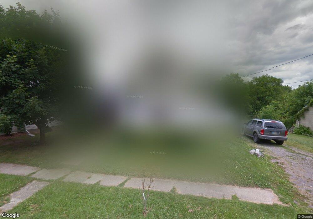
615 S Wayne St Kenton, OH 43326
Estimated Value: $62,000 - $119,000
2
Beds
1
Bath
1,360
Sq Ft
$67/Sq Ft
Est. Value
About This Home
This home is located at 615 S Wayne St, Kenton, OH 43326 and is currently estimated at $91,088, approximately $66 per square foot. 615 S Wayne St is a home located in Hardin County with nearby schools including Kenton Elementary School, Kenton Middle School, and Kenton High School.
Ownership History
Date
Name
Owned For
Owner Type
Purchase Details
Closed on
Dec 23, 2003
Bought by
Wingfield Robert and Wingfield Thoma
Current Estimated Value
Purchase Details
Closed on
Nov 20, 2003
Bought by
Billie Wingfield Sons Pa
Purchase Details
Closed on
May 20, 2003
Bought by
Abn Amro Mortgage Group
Purchase Details
Closed on
Nov 10, 1998
Bought by
Cahill Bruce W
Purchase Details
Closed on
Oct 11, 1997
Bought by
Manns Eddie R
Purchase Details
Closed on
Mar 24, 1993
Bought by
Windle Karl H
Purchase Details
Closed on
Aug 17, 1988
Create a Home Valuation Report for This Property
The Home Valuation Report is an in-depth analysis detailing your home's value as well as a comparison with similar homes in the area
Home Values in the Area
Average Home Value in this Area
Purchase History
| Date | Buyer | Sale Price | Title Company |
|---|---|---|---|
| Wingfield Robert | -- | -- | |
| Billie Wingfield Sons Pa | $36,000 | -- | |
| Abn Amro Mortgage Group | $38,000 | -- | |
| Cahill Bruce W | $52,000 | -- | |
| Manns Eddie R | $27,500 | -- | |
| Windle Karl H | $21,600 | -- | |
| -- | $27,000 | -- |
Source: Public Records
Tax History Compared to Growth
Tax History
| Year | Tax Paid | Tax Assessment Tax Assessment Total Assessment is a certain percentage of the fair market value that is determined by local assessors to be the total taxable value of land and additions on the property. | Land | Improvement |
|---|---|---|---|---|
| 2024 | $342 | $17,130 | $2,180 | $14,950 |
| 2023 | $342 | $17,130 | $2,180 | $14,950 |
| 2022 | $822 | $17,150 | $1,520 | $15,630 |
| 2021 | $825 | $17,150 | $1,520 | $15,630 |
| 2020 | $821 | $17,150 | $1,520 | $15,630 |
| 2019 | $705 | $13,940 | $1,450 | $12,490 |
| 2018 | $682 | $13,940 | $1,450 | $12,490 |
| 2017 | $674 | $13,940 | $1,450 | $12,490 |
| 2016 | $635 | $13,570 | $1,600 | $11,970 |
| 2015 | $502 | $13,570 | $1,600 | $11,970 |
| 2014 | $3,360 | $13,570 | $1,600 | $11,970 |
| 2013 | $1,828 | $14,880 | $1,600 | $13,280 |
Source: Public Records
Map
Nearby Homes
- 639 S Main St
- 727 S Detroit St
- 508 Decatur St
- 510 Decatur St
- 121 S High St
- 530 E Franklin St
- 513 E Franklin St
- 115 Scioto St
- 920 Cooper St
- 39 Grape St
- 320 Letson Ave
- 509 E Carrol St
- 79 Broadway St
- 219 W Carrol St
- 215 N Main St
- 233 N Main St
- 310 N Market St
- 328 N Detroit St
- 424 W Carrol St
- 702 W Franklin St Unit 702 1/2