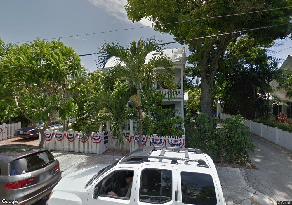
616 Canfield Ln Key West, FL 33040
Old Town NeighborhoodEstimated Value: $734,096 - $1,212,000
2
Beds
1
Bath
695
Sq Ft
$1,450/Sq Ft
Est. Value
About This Home
This home is located at 616 Canfield Ln, Key West, FL 33040 and is currently estimated at $1,007,774, approximately $1,450 per square foot. 616 Canfield Ln is a home located in Monroe County with nearby schools including Horace O'Bryant School, Key West High School, and May Sands Montessori School.
Ownership History
Date
Name
Owned For
Owner Type
Purchase Details
Closed on
Dec 27, 1993
Sold by
Allen Joseph B
Bought by
Crowley Karen
Current Estimated Value
Home Financials for this Owner
Home Financials are based on the most recent Mortgage that was taken out on this home.
Original Mortgage
$100,000
Interest Rate
7.09%
Purchase Details
Closed on
Oct 1, 1983
Bought by
Crowley Karen
Create a Home Valuation Report for This Property
The Home Valuation Report is an in-depth analysis detailing your home's value as well as a comparison with similar homes in the area
Home Values in the Area
Average Home Value in this Area
Purchase History
| Date | Buyer | Sale Price | Title Company |
|---|---|---|---|
| Crowley Karen | $133,000 | -- | |
| Crowley Karen | $40,000 | -- |
Source: Public Records
Mortgage History
| Date | Status | Borrower | Loan Amount |
|---|---|---|---|
| Closed | Crowley Karen | $100,000 |
Source: Public Records
Tax History Compared to Growth
Tax History
| Year | Tax Paid | Tax Assessment Tax Assessment Total Assessment is a certain percentage of the fair market value that is determined by local assessors to be the total taxable value of land and additions on the property. | Land | Improvement |
|---|---|---|---|---|
| 2024 | $2,105 | $244,410 | -- | -- |
| 2023 | $2,105 | $237,292 | $0 | $0 |
| 2022 | $2,010 | $230,381 | $0 | $0 |
| 2021 | $2,031 | $223,671 | $0 | $0 |
| 2020 | $1,995 | $220,583 | $0 | $0 |
| 2019 | $1,962 | $215,624 | $0 | $0 |
| 2018 | $1,950 | $211,604 | $0 | $0 |
| 2017 | $1,937 | $207,252 | $0 | $0 |
| 2016 | $1,981 | $202,990 | $0 | $0 |
| 2015 | $2,021 | $201,579 | $0 | $0 |
| 2014 | $2,068 | $199,979 | $0 | $0 |
Source: Public Records
Map
Nearby Homes
- 610 Griffin Ln
- 918 Southard St Unit 105
- 609 1/2 Margaret St
- 626 Margaret St
- 1017 Angela St
- 1020 Southard St
- 508 Grinnell St
- 806 Southard St
- 1008 Fleming St
- 709 Frances St
- 715 Frances St
- 1022 Fleming St
- 628 William St
- 1109 Stump Ln
- 729 Windsor Ln
- 1113 Stump Ln
- 522 William St
- 620 White St
- 708 William St
- 711 Galveston Ln