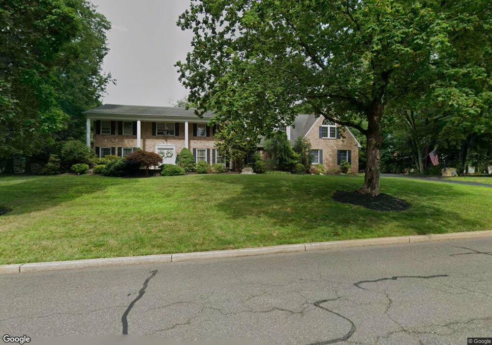
616 White Pine Rd Franklin Lakes, NJ 07417
Estimated Value: $1,849,000 - $2,096,000
--
Bed
--
Bath
5,435
Sq Ft
$361/Sq Ft
Est. Value
About This Home
This home is located at 616 White Pine Rd, Franklin Lakes, NJ 07417 and is currently estimated at $1,962,870, approximately $361 per square foot. 616 White Pine Rd is a home located in Bergen County with nearby schools including Colonial Road School, Franklin Avenue Middle School, and Indian Hills High School.
Ownership History
Date
Name
Owned For
Owner Type
Purchase Details
Closed on
Sep 22, 2003
Sold by
Abbiati Robert
Bought by
Loprete Lawrence and Loprete Mary
Current Estimated Value
Home Financials for this Owner
Home Financials are based on the most recent Mortgage that was taken out on this home.
Original Mortgage
$956,250
Outstanding Balance
$440,857
Interest Rate
6.15%
Estimated Equity
$1,522,013
Create a Home Valuation Report for This Property
The Home Valuation Report is an in-depth analysis detailing your home's value as well as a comparison with similar homes in the area
Home Values in the Area
Average Home Value in this Area
Purchase History
| Date | Buyer | Sale Price | Title Company |
|---|---|---|---|
| Loprete Lawrence | $1,275,000 | -- |
Source: Public Records
Mortgage History
| Date | Status | Borrower | Loan Amount |
|---|---|---|---|
| Open | Loprete Lawrence | $956,250 |
Source: Public Records
Tax History Compared to Growth
Tax History
| Year | Tax Paid | Tax Assessment Tax Assessment Total Assessment is a certain percentage of the fair market value that is determined by local assessors to be the total taxable value of land and additions on the property. | Land | Improvement |
|---|---|---|---|---|
| 2025 | $21,884 | $1,218,500 | $434,800 | $783,700 |
| 2024 | $21,080 | $1,218,500 | $434,800 | $783,700 |
| 2023 | $20,544 | $1,218,500 | $434,800 | $783,700 |
| 2022 | $20,544 | $1,218,500 | $434,800 | $783,700 |
| 2021 | $20,251 | $1,218,500 | $434,800 | $783,700 |
| 2020 | $20,081 | $1,218,500 | $434,800 | $783,700 |
| 2019 | $20,008 | $1,218,500 | $434,800 | $783,700 |
| 2018 | $19,801 | $1,218,500 | $434,800 | $783,700 |
| 2017 | $19,935 | $1,218,500 | $434,800 | $783,700 |
| 2016 | $19,996 | $1,218,500 | $434,800 | $783,700 |
| 2015 | $19,484 | $1,218,500 | $434,800 | $783,700 |
| 2014 | $19,155 | $1,218,500 | $434,800 | $783,700 |
Source: Public Records
Map
Nearby Homes
- 300 Forsythia Ct
- 916 Colonial Rd
- 868 Meadow Ln
- 240 Ottowa Ln
- 37 Roth Ave
- 224 Roth Ave
- 789 Colonial Rd
- 265 Terrace Rd
- 223 Terrace Rd
- 3 Laura Ln
- 727 Dakota Trail
- 356 Indian Trail Dr
- 1055 High Mountain Rd
- 182 Yawpo Ave
- 711 Cheyenne Dr
- 340 Indian Trail Dr
- 1090 High Mountain Rd
- 104 Walnut St
- 23 Sheffield St
- 96 Walnut St
- 659 Farmdale Rd
- 626 White Pine Rd
- 667 Farmdale Rd
- 617 White Pine Rd
- 625 White Pine Rd
- 963 Briarwoods Rd
- 609 White Pine Rd
- 955 Briarwoods Rd
- 971 Briarwoods Rd
- 649 Farmdale Rd
- 633 White Pine Rd
- 305 Locust Ct
- 660 Farmdale Rd
- 668 Farmdale Rd
- 652 Farmdale Rd
- 304 Forsythia Ct
- 304 Locust Ct
- 981 Briarwoods Rd
- 947 Briarwoods Rd
- 639 Farmdale Rd