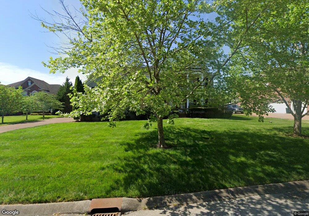
617 Aylesford Ln Franklin, TN 37069
Estimated Value: $1,308,811 - $1,501,000
--
Bed
5
Baths
3,916
Sq Ft
$357/Sq Ft
Est. Value
About This Home
This home is located at 617 Aylesford Ln, Franklin, TN 37069 and is currently estimated at $1,396,203, approximately $356 per square foot. 617 Aylesford Ln is a home located in Williamson County with nearby schools including Walnut Grove Elementary School, Grassland Middle School, and Franklin High School.
Ownership History
Date
Name
Owned For
Owner Type
Purchase Details
Closed on
Mar 30, 2004
Sold by
Drees Premier Homes Inc
Bought by
Tate Max D and Tate Ferdos
Current Estimated Value
Home Financials for this Owner
Home Financials are based on the most recent Mortgage that was taken out on this home.
Original Mortgage
$260,000
Outstanding Balance
$121,242
Interest Rate
5.53%
Mortgage Type
Purchase Money Mortgage
Estimated Equity
$1,274,961
Purchase Details
Closed on
Apr 2, 2003
Sold by
Lumbermens Investment Corp
Bought by
Drees Premier Homes Inc
Create a Home Valuation Report for This Property
The Home Valuation Report is an in-depth analysis detailing your home's value as well as a comparison with similar homes in the area
Home Values in the Area
Average Home Value in this Area
Purchase History
| Date | Buyer | Sale Price | Title Company |
|---|---|---|---|
| Tate Max D | $420,000 | -- | |
| Drees Premier Homes Inc | $1,045,000 | -- |
Source: Public Records
Mortgage History
| Date | Status | Borrower | Loan Amount |
|---|---|---|---|
| Open | Tate Max D | $260,000 | |
| Closed | Tate Max D | $139,000 |
Source: Public Records
Tax History Compared to Growth
Tax History
| Year | Tax Paid | Tax Assessment Tax Assessment Total Assessment is a certain percentage of the fair market value that is determined by local assessors to be the total taxable value of land and additions on the property. | Land | Improvement |
|---|---|---|---|---|
| 2024 | $3,662 | $194,775 | $47,500 | $147,275 |
| 2023 | $3,662 | $194,775 | $47,500 | $147,275 |
| 2022 | $3,662 | $194,775 | $47,500 | $147,275 |
| 2021 | $3,662 | $194,775 | $47,500 | $147,275 |
| 2020 | $3,448 | $155,325 | $32,500 | $122,825 |
| 2019 | $3,448 | $155,325 | $32,500 | $122,825 |
| 2018 | $3,339 | $155,325 | $32,500 | $122,825 |
| 2017 | $3,339 | $155,325 | $32,500 | $122,825 |
| 2016 | $0 | $155,325 | $32,500 | $122,825 |
| 2015 | -- | $127,900 | $27,325 | $100,575 |
| 2014 | -- | $127,900 | $27,325 | $100,575 |
Source: Public Records
Map
Nearby Homes
- 829 Highgrove Cir
- 177 Cottonwood Dr
- 0 Hartland Rd Unit RTC2769384
- 1434 Mentelle Dr
- 284 Gillette Dr
- 298 Gillette Dr
- 517 Meadowgreen Dr
- 604 Meadowgreen Dr
- 426 Cotton Ln
- 1013 Buena Vista Dr
- 2012 Lundy Pass
- 2064 Hillsboro Rd
- 910 Sunset Ridge Dr
- 2090 Hamilton Way
- 196 Clarendon Cir
- 2057 Hillsboro Rd
- 826 Brandyleigh Ct
- 805 Legends Glen Ct
- 913 Idlewild Ct
- 2954 Del Rio Pike
- 616 Aylesford Ln
- 625 Aylesford Ln
- 612 Aylesford Ln
- 611 Aylesford Ln
- 620 Aylesford Ln
- 608 Aylesford Ln
- 633 Aylesford Ln
- 704 Aylesford Ct
- 628 Aylesford Ln
- 624 Aylesford Ln
- 632 Aylesford Ln
- 604 Aylesford Ln
- 701 Aylesford Ct
- 636 Aylesford Ln
- 708 Aylesford Ct
- 637 Aylesford Ln
- 705 Aylesford Ct
- 640 Aylesford Ln
- 440 Coburn Ln
- 444 Coburn Ln