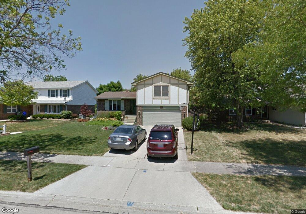
617 Devonshire Ln Wheaton, IL 60189
Southeast Wheaton NeighborhoodEstimated Value: $457,409 - $584,000
3
Beds
3
Baths
1,398
Sq Ft
$377/Sq Ft
Est. Value
About This Home
This home is located at 617 Devonshire Ln, Wheaton, IL 60189 and is currently estimated at $527,102, approximately $377 per square foot. 617 Devonshire Ln is a home located in DuPage County with nearby schools including Lincoln Elementary School, Edison Middle School, and Wheaton Warrenville South High School.
Ownership History
Date
Name
Owned For
Owner Type
Purchase Details
Closed on
Aug 6, 2025
Sold by
Dzugan Michael G and Dzugan Mary Margaret
Bought by
Dzugan Family Trust and Dzugan
Current Estimated Value
Purchase Details
Closed on
Feb 27, 2009
Sold by
Dzugan Michael G and Dzugan Mary Margaret
Bought by
Dzugan Michael G and Dzugan Mary Margaret
Purchase Details
Closed on
Jun 13, 2000
Sold by
Dzugan Michael G and Dzugan Mary Margaret
Bought by
Dzugan Michael G and Dzugan Mary Margaret
Create a Home Valuation Report for This Property
The Home Valuation Report is an in-depth analysis detailing your home's value as well as a comparison with similar homes in the area
Home Values in the Area
Average Home Value in this Area
Purchase History
| Date | Buyer | Sale Price | Title Company |
|---|---|---|---|
| Dzugan Family Trust | -- | None Listed On Document | |
| Dzugan Michael G | -- | Law Title Insurance | |
| Dzugan Michael G | -- | -- |
Source: Public Records
Tax History
| Year | Tax Paid | Tax Assessment Tax Assessment Total Assessment is a certain percentage of the fair market value that is determined by local assessors to be the total taxable value of land and additions on the property. | Land | Improvement |
|---|---|---|---|---|
| 2024 | $8,792 | $144,415 | $35,493 | $108,922 |
| 2023 | $8,443 | $132,930 | $32,670 | $100,260 |
| 2022 | $8,284 | $125,620 | $30,870 | $94,750 |
| 2021 | $8,255 | $122,640 | $30,140 | $92,500 |
| 2020 | $8,229 | $121,500 | $29,860 | $91,640 |
| 2019 | $8,039 | $118,290 | $29,070 | $89,220 |
| 2018 | $7,989 | $116,300 | $27,400 | $88,900 |
| 2017 | $7,868 | $112,010 | $26,390 | $85,620 |
| 2016 | $7,761 | $107,540 | $25,340 | $82,200 |
| 2015 | $7,698 | $102,590 | $24,170 | $78,420 |
| 2014 | $6,783 | $89,650 | $19,110 | $70,540 |
| 2013 | $6,608 | $89,920 | $19,170 | $70,750 |
Source: Public Records
Map
Nearby Homes
- 570 Riva Ct
- 840 Sheldon Ct Unit B
- 1129 Rhodes Ct
- 1315 Underwood Terrace
- 953 Cordova Ct
- 1581 Groton Ln
- 1216 E Elm St
- 1678 Groton Ct
- 1601 Castbourne Ct
- 1019 Pershing Ave
- 715 S Naperville Rd
- 1720 Lakecliffe Dr Unit A
- 1000 S Lorraine Rd Unit 214
- 510 S President St
- 1219 Golf Ln
- 850 S Lorraine Rd Unit 3B
- 325 W Park Ave
- 30 Danada Dr
- 1265 Windsor Dr
- 522 S West St
- 633 Devonshire Ln
- 601 Devonshire Ln
- 649 Devonshire Ln
- 640 Queenswood Ln
- 587 Devonshire Ln
- 620 Queenswood Ln
- 660 Queenswood Ln
- 618 Devonshire Ln
- 665 Devonshire Ln
- 680 Queenswood Ln
- 634 Devonshire Ln
- 602 Queenswood Ln
- 588 Devonshire Ln
- 573 Devonshire Ln
- 650 Devonshire Ln
- 588 Queenswood Ln
- 719 Devonshire Ln
- 574 Devonshire Ln
- 559 Devonshire Ln
- 720 Queenswood Ln
Your Personal Tour Guide
Ask me questions while you tour the home.