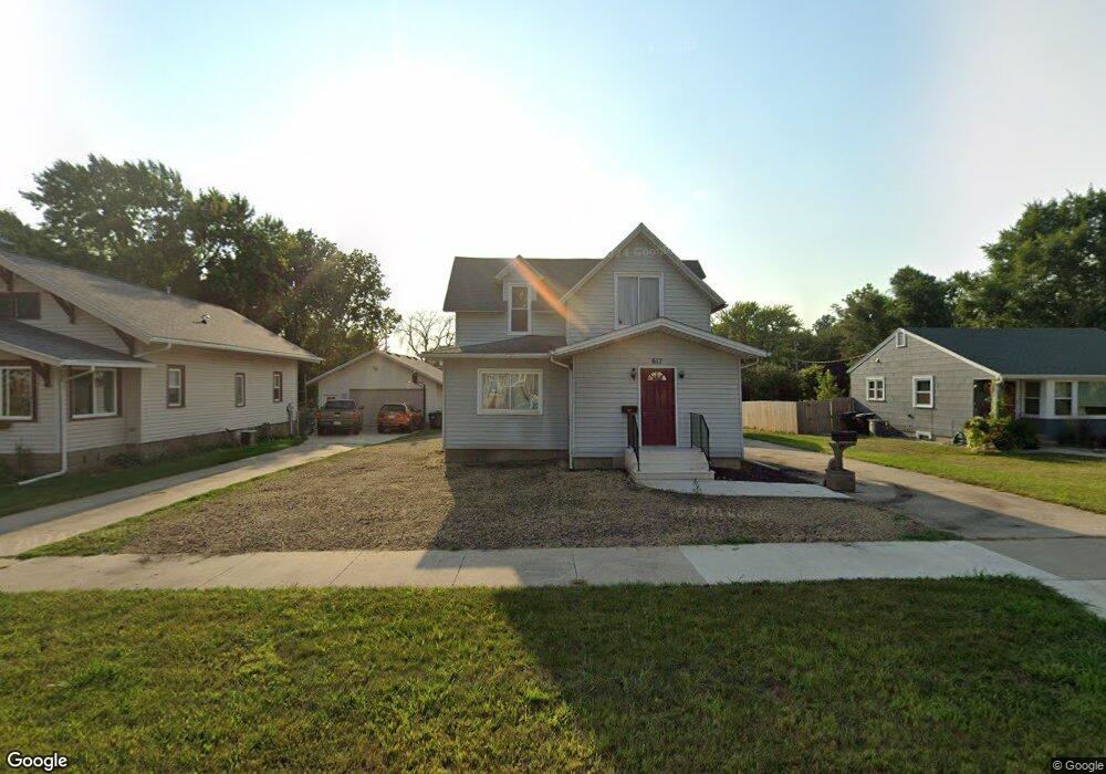
617 Euclid Ave Cherokee, IA 51012
Estimated Value: $100,000 - $143,000
3
Beds
2
Baths
1,368
Sq Ft
$89/Sq Ft
Est. Value
About This Home
This home is located at 617 Euclid Ave, Cherokee, IA 51012 and is currently estimated at $122,038, approximately $89 per square foot. 617 Euclid Ave is a home located in Cherokee County with nearby schools including Cherokee Elementary School and Cherokee Middle School.
Ownership History
Date
Name
Owned For
Owner Type
Purchase Details
Closed on
Jan 22, 2025
Sold by
Mummert Duane
Bought by
Mummert Michael and Mummert Linda
Current Estimated Value
Home Financials for this Owner
Home Financials are based on the most recent Mortgage that was taken out on this home.
Original Mortgage
$133,500
Outstanding Balance
$131,337
Interest Rate
6.72%
Mortgage Type
Construction
Estimated Equity
-$9,299
Create a Home Valuation Report for This Property
The Home Valuation Report is an in-depth analysis detailing your home's value as well as a comparison with similar homes in the area
Home Values in the Area
Average Home Value in this Area
Purchase History
| Date | Buyer | Sale Price | Title Company |
|---|---|---|---|
| Mummert Michael | $100,000 | None Listed On Document | |
| Mummert Michael | $100,000 | None Listed On Document |
Source: Public Records
Mortgage History
| Date | Status | Borrower | Loan Amount |
|---|---|---|---|
| Open | Mummert Michael | $133,500 | |
| Closed | Mummert Michael | $133,500 |
Source: Public Records
Tax History
| Year | Tax Paid | Tax Assessment Tax Assessment Total Assessment is a certain percentage of the fair market value that is determined by local assessors to be the total taxable value of land and additions on the property. | Land | Improvement |
|---|---|---|---|---|
| 2025 | $1,506 | $113,370 | $12,600 | $100,770 |
| 2024 | $1,506 | $100,970 | $12,600 | $88,370 |
| 2023 | $1,524 | $100,970 | $12,600 | $88,370 |
| 2022 | $1,246 | $76,650 | $9,450 | $67,200 |
| 2021 | $1,246 | $76,650 | $9,450 | $67,200 |
| 2020 | $1,282 | $76,650 | $9,450 | $67,200 |
| 2019 | $1,360 | $76,650 | $0 | $0 |
| 2018 | $1,302 | $75,588 | $0 | $0 |
| 2017 | $1,326 | $75,588 | $0 | $0 |
| 2016 | $1,294 | $75,588 | $0 | $0 |
| 2015 | $1,108 | $64,605 | $0 | $0 |
| 2014 | $1,108 | $64,605 | $0 | $0 |
Source: Public Records
Map
Nearby Homes
- 212 E Spruce St
- 612 Sherman Ave
- 128 E Spruce St
- 411 Ash St
- 918 N Roosevelt Ave
- 514 N 5th St
- 119 E Ridgeview Dr
- 430 W Cedar St
- 719 E Bluff St
- 6 W Bow Dr
- 13 S Bow Dr
- 225 E Maple St
- 209 E Maple St
- 222 & 224 W Elm St
- 414 Valley View Dr Unit B
- 704 W Cedar St
- 708 W Cedar St
- 513 S Craig Dr
- 406 S Craig Dr
- 1403 Susan Ave
- 613 Euclid Ave
- 625 Euclid Ave
- 0 Ash St Unit 44019816
- 0 Ash St Unit 44018852
- 627 Euclid Ave
- 609 Euclid Ave
- 634 Central St
- 628 1/2 N 1st St
- 628 1/2 N 1st St Unit St
- 607 Euclid Ave
- 629 Euclid Ave
- 222 E Bluff St
- 622 Euclid Ave
- 618 Euclid Ave
- 601 Euclid Ave
- 628 Euclid Ave
- 616 Euclid Ave
- 630 Euclid Ave
- 220 E Bluff St
- 614 Euclid Ave
Your Personal Tour Guide
Ask me questions while you tour the home.