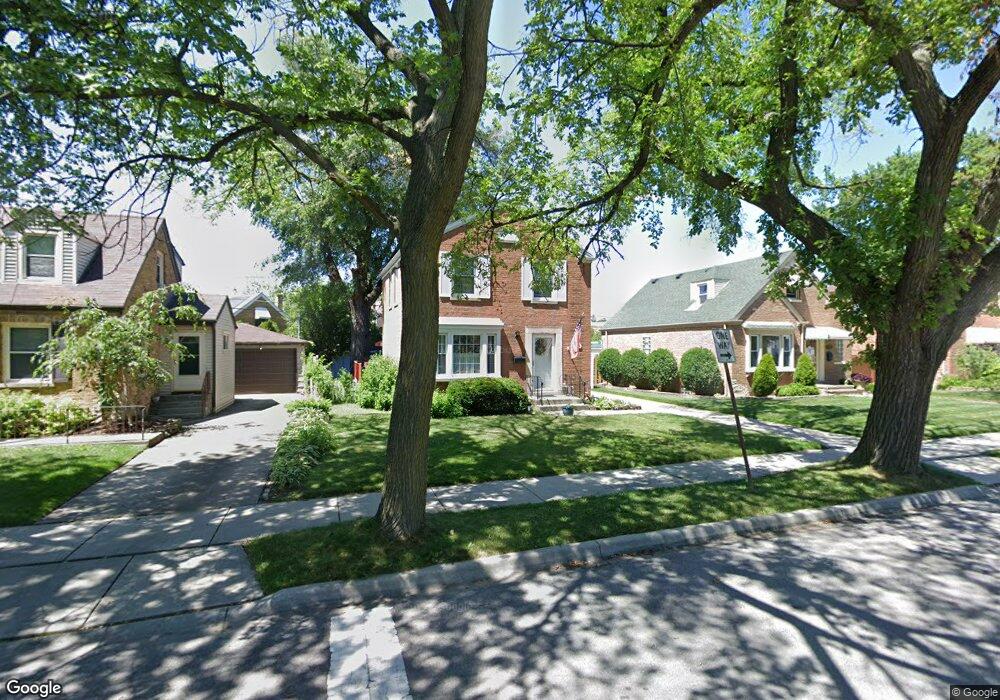
6176 N Ozanam Ave Chicago, IL 60631
Norwood Park NeighborhoodEstimated Value: $373,849 - $485,000
2
Beds
1
Bath
1,082
Sq Ft
$391/Sq Ft
Est. Value
About This Home
This home is located at 6176 N Ozanam Ave, Chicago, IL 60631 and is currently estimated at $423,212, approximately $391 per square foot. 6176 N Ozanam Ave is a home located in Cook County with nearby schools including Edison Park Elementary School, William Howard Taft High School, and Immaculate Conception School.
Ownership History
Date
Name
Owned For
Owner Type
Purchase Details
Closed on
Apr 28, 1997
Sold by
Marcotte Thomas and Marcotte Toni
Bought by
Nolan Frank W and Nolan Anne C
Current Estimated Value
Home Financials for this Owner
Home Financials are based on the most recent Mortgage that was taken out on this home.
Original Mortgage
$120,000
Outstanding Balance
$11,877
Interest Rate
6.75%
Estimated Equity
$411,335
Create a Home Valuation Report for This Property
The Home Valuation Report is an in-depth analysis detailing your home's value as well as a comparison with similar homes in the area
Home Values in the Area
Average Home Value in this Area
Purchase History
| Date | Buyer | Sale Price | Title Company |
|---|---|---|---|
| Nolan Frank W | $162,000 | -- |
Source: Public Records
Mortgage History
| Date | Status | Borrower | Loan Amount |
|---|---|---|---|
| Open | Nolan Frank W | $120,000 |
Source: Public Records
Tax History
| Year | Tax Paid | Tax Assessment Tax Assessment Total Assessment is a certain percentage of the fair market value that is determined by local assessors to be the total taxable value of land and additions on the property. | Land | Improvement |
|---|---|---|---|---|
| 2025 | $3,525 | $36,000 | $11,375 | $24,625 |
| 2024 | $3,525 | $36,000 | $11,375 | $24,625 |
| 2023 | $3,545 | $26,000 | $9,100 | $16,900 |
| 2022 | $3,545 | $26,000 | $9,100 | $16,900 |
| 2021 | $3,375 | $26,000 | $9,100 | $16,900 |
| 2020 | $3,483 | $28,246 | $5,687 | $22,559 |
| 2019 | $3,472 | $31,040 | $5,687 | $25,353 |
| 2018 | $3,420 | $31,040 | $5,687 | $25,353 |
| 2017 | $3,662 | $24,961 | $5,005 | $19,956 |
| 2016 | $4,030 | $24,961 | $5,005 | $19,956 |
| 2015 | $3,873 | $26,275 | $5,005 | $21,270 |
| 2014 | $3,840 | $25,693 | $4,550 | $21,143 |
| 2013 | $3,853 | $25,693 | $4,550 | $21,143 |
Source: Public Records
Map
Nearby Homes
- 6135 N Ozark Ave
- 7725 W Myrtle Ave
- 1201 Grove Ave
- 6429 N Oliphant Ave
- 1309 S Crescent Ave
- 5818 N Overhill Ave
- 100 Arthur St
- 1929 S Ashland Ave
- 6530 N Oliphant Ave
- 6553 N Oliphant Ave
- 6520 N Oshkosh Ave
- 916 Cleveland Ave
- 7508 W Devon Ave
- 1220 Courtland Ave
- 1414 S Prospect Ave
- 5975 N Odell Ave Unit 2C
- 5975 N Odell Ave Unit 5C
- 803 S Vine Ave
- 6610 N Northwest Hwy
- 1904 S Fairview Ave
- 6180 N Ozanam Ave
- 6170 N Ozanam Ave
- 6167 N Canfield Ave
- 6184 N Ozanam Ave
- 6173 N Canfield Ave
- 6164 N Ozanam Ave
- 6163 N Canfield Ave
- 6188 N Ozanam Ave
- 6170 N Ozark Ave
- 6177 N Ozark Ave
- 6154 N Ozanam Ave
- 6189 N Ozanam Ave
- 6167 N Ozanam Ave
- 7769 W Talcott Ave
- 7765 W Talcott Ave
- 6164 N Ozark Ave
- 6171 N Ozark Ave
- 6163 N Ozanam Ave
- 3 Yost Ave
- 4 Granville Ave
Your Personal Tour Guide
Ask me questions while you tour the home.