6181 Harvest St Springfield, OH 45502
Estimated Value: $388,000 - $502,000
4
Beds
3
Baths
2,904
Sq Ft
$148/Sq Ft
Est. Value
About This Home
This home is located at 6181 Harvest St, Springfield, OH 45502 and is currently estimated at $430,985, approximately $148 per square foot. 6181 Harvest St is a home located in Clark County with nearby schools including Northridge Elementary School and Kenton Ridge Middle & High School.
Ownership History
Date
Name
Owned For
Owner Type
Purchase Details
Closed on
Sep 27, 2019
Sold by
Baise James R and Baise Patricia A
Bought by
Powell James E and Powell Rachel L
Current Estimated Value
Home Financials for this Owner
Home Financials are based on the most recent Mortgage that was taken out on this home.
Original Mortgage
$198,000
Outstanding Balance
$172,672
Interest Rate
3.6%
Mortgage Type
New Conventional
Estimated Equity
$258,313
Purchase Details
Closed on
Mar 23, 2016
Sold by
Baise James R and Baise Patricia A
Bought by
May Joshua
Create a Home Valuation Report for This Property
The Home Valuation Report is an in-depth analysis detailing your home's value as well as a comparison with similar homes in the area
Home Values in the Area
Average Home Value in this Area
Purchase History
| Date | Buyer | Sale Price | Title Company |
|---|---|---|---|
| Powell James E | $220,000 | Team Title & Closing Svc Llc | |
| May Joshua | $8,000 | None Available |
Source: Public Records
Mortgage History
| Date | Status | Borrower | Loan Amount |
|---|---|---|---|
| Open | Powell James E | $198,000 |
Source: Public Records
Tax History
| Year | Tax Paid | Tax Assessment Tax Assessment Total Assessment is a certain percentage of the fair market value that is determined by local assessors to be the total taxable value of land and additions on the property. | Land | Improvement |
|---|---|---|---|---|
| 2025 | $4,663 | $127,150 | $20,540 | $106,610 |
| 2024 | $4,509 | $106,630 | $14,810 | $91,820 |
| 2023 | $4,509 | $106,630 | $14,810 | $91,820 |
| 2022 | $4,526 | $106,630 | $14,810 | $91,820 |
| 2021 | $5,086 | $101,560 | $14,110 | $87,450 |
| 2020 | $5,091 | $101,560 | $14,110 | $87,450 |
| 2019 | $5,187 | $101,560 | $14,110 | $87,450 |
| 2018 | $4,706 | $88,360 | $12,830 | $75,530 |
| 2017 | $4,033 | $85,838 | $12,835 | $73,003 |
| 2016 | $4,114 | $85,838 | $12,835 | $73,003 |
| 2015 | $3,789 | $81,904 | $12,341 | $69,563 |
| 2014 | $3,789 | $81,904 | $12,341 | $69,563 |
| 2013 | $3,703 | $81,904 | $12,341 | $69,563 |
Source: Public Records
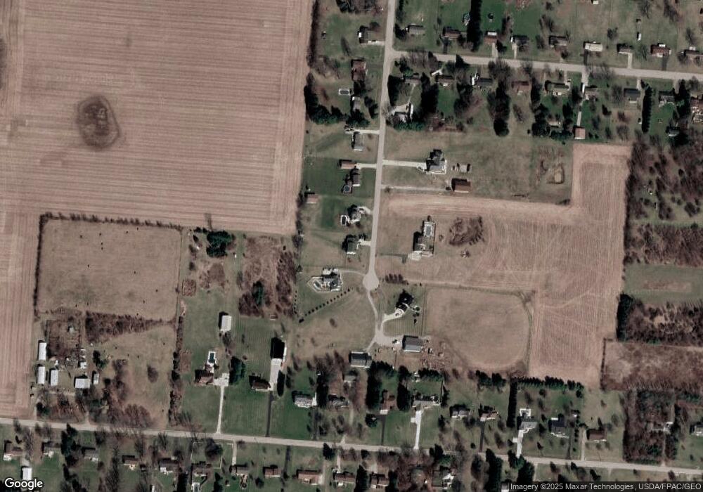
Map
Nearby Homes
- 5060 Morris Rd
- 4273 Kay Ave
- 1812 Willow Lakes Dr
- 1836 Dunseth Ln
- 6360 Renee St
- 1470 Oldham Dr Unit 12
- 1707 Berwick Dr
- 1398 Elizabeth Ct Unit 66
- 5670 Prairie Rd
- 5564 Ridgewood Rd E Unit 7
- 1495 Victorian Way
- 4293 Yale St
- 4500 Bosart Rd
- 5564 Ridgewood Rd W
- 1521 Erika Dr
- 1709 Thomas Dr
- 5033 Ridgewood Rd E
- 9 Middle Urbana Rd
- 937 Willow Rd
- 4652 Reno Ln Unit 15
- 6205 Harvest St
- 6157 Harvest St
- 6229 Harvest St
- 6133 Harvest St
- 6253 Harvest St
- 6158 Harvest St
- 6242 Harvest St
- 6277 Harvest St
- 3040 Willow Rd
- 3081 Tamarack Ave
- 2988 Willow Rd
- 3020 Willow Rd
- 3070 Willow Rd
- 6301 Harvest St
- 3110 Willow Rd
- 3105 Tamarack Ave
- 2942 Willow Rd
- 3120 Willow Rd
- 3137 Tamarack Ave
- 6327 Harvest St
Your Personal Tour Guide
Ask me questions while you tour the home.