6185 S Routt St Littleton, CO 80127
Foothill Green NeighborhoodEstimated Value: $567,643 - $667,000
3
Beds
3
Baths
968
Sq Ft
$618/Sq Ft
Est. Value
About This Home
This home is located at 6185 S Routt St, Littleton, CO 80127 and is currently estimated at $598,411, approximately $618 per square foot. 6185 S Routt St is a home located in Jefferson County with nearby schools including Powderhorn Elementary School, Summit Ridge Middle School, and Dakota Ridge Senior High School.
Ownership History
Date
Name
Owned For
Owner Type
Purchase Details
Closed on
May 13, 2022
Sold by
Thi Do Lan
Bought by
Nguyen Lyna Honglinh
Current Estimated Value
Purchase Details
Closed on
Feb 20, 2007
Sold by
Che Dung C and Nguyen Oai
Bought by
Nguyen Oai and Do Lan Thi
Purchase Details
Closed on
Jun 30, 2005
Sold by
Mcculley John H and Mcculley Cheryl A
Bought by
Che Dung C and Nguyen Oai
Home Financials for this Owner
Home Financials are based on the most recent Mortgage that was taken out on this home.
Original Mortgage
$181,200
Interest Rate
5.67%
Mortgage Type
Fannie Mae Freddie Mac
Purchase Details
Closed on
Oct 31, 1996
Sold by
Lanting Todd K and Lanting Jill L
Bought by
Mcculley John H and Mcculley Cheryl A
Home Financials for this Owner
Home Financials are based on the most recent Mortgage that was taken out on this home.
Original Mortgage
$130,200
Interest Rate
8.17%
Create a Home Valuation Report for This Property
The Home Valuation Report is an in-depth analysis detailing your home's value as well as a comparison with similar homes in the area
Home Values in the Area
Average Home Value in this Area
Purchase History
| Date | Buyer | Sale Price | Title Company |
|---|---|---|---|
| Nguyen Lyna Honglinh | $600,000 | None Listed On Document | |
| Nguyen Oai | -- | None Available | |
| Che Dung C | $226,500 | Fahtco | |
| Mcculley John H | $139,200 | -- |
Source: Public Records
Mortgage History
| Date | Status | Borrower | Loan Amount |
|---|---|---|---|
| Previous Owner | Che Dung C | $181,200 | |
| Previous Owner | Mcculley John H | $130,200 |
Source: Public Records
Tax History Compared to Growth
Tax History
| Year | Tax Paid | Tax Assessment Tax Assessment Total Assessment is a certain percentage of the fair market value that is determined by local assessors to be the total taxable value of land and additions on the property. | Land | Improvement |
|---|---|---|---|---|
| 2024 | $3,071 | $31,356 | $11,098 | $20,258 |
| 2023 | $3,071 | $31,356 | $11,098 | $20,258 |
| 2022 | $2,896 | $29,029 | $7,951 | $21,078 |
| 2021 | $2,933 | $29,864 | $8,180 | $21,684 |
| 2020 | $2,616 | $26,699 | $6,776 | $19,923 |
| 2019 | $2,583 | $26,699 | $6,776 | $19,923 |
| 2018 | $2,360 | $23,551 | $7,382 | $16,169 |
| 2017 | $2,154 | $23,551 | $7,382 | $16,169 |
| 2016 | $1,914 | $20,195 | $5,923 | $14,272 |
| 2015 | $1,780 | $20,195 | $5,923 | $14,272 |
| 2014 | $1,780 | $17,611 | $5,910 | $11,701 |
Source: Public Records
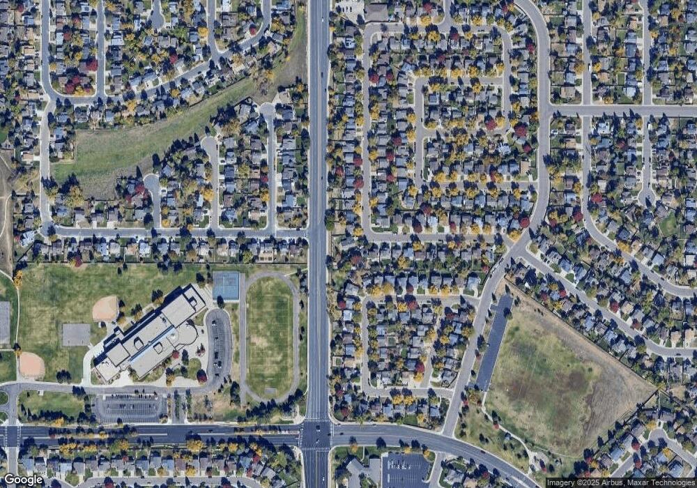
Map
Nearby Homes
- 11445 W Maplewood Ave
- 11371 W Parkhill Dr
- 5941 S Quail Way
- 6097 S Pierson St
- 6077 S Pierson St
- 5995 S Taft Way
- 6057 S Pierson St
- 6017 S Pierson St
- 6126 S Pierson St
- 6424 S Routt St
- 11877 W Bowles Cir
- 6034 S Parfet St
- 6459 S Queen Way
- 6506 S Robb Way
- 10944 W Caley Ave
- 5843 S Pierson St
- 5981 S Vivian St
- 11411 W Cooper Dr
- 12299 W Burgundy Ave
- 6325 S Oak Way
- 11572 W Parkhill Dr
- 6175 S Routt St
- 6165 S Routt St
- 11552 W Parkhill Dr
- 6205 S Routt St
- 11599 W Fair Ave
- 6155 S Routt St
- 11532 W Parkhill Dr
- 6154 S Routt St
- 11636 W Maplewood Ave
- 11579 W Fair Ave
- 6144 S Routt St
- 6145 S Routt St
- 11512 W Parkhill Dr
- 6215 S Routt St
- 11559 W Fair Ave
- 11511 W Parkhill Dr
- 6106 S Simms Ct
- 6134 S Routt St
- 11646 W Maplewood Ave