6185 Stornoway Dr S Columbus, OH 43213
Olde Orchard NeighborhoodEstimated Value: $155,951 - $168,000
2
Beds
2
Baths
1,293
Sq Ft
$124/Sq Ft
Est. Value
About This Home
This home is located at 6185 Stornoway Dr S, Columbus, OH 43213 and is currently estimated at $160,738, approximately $124 per square foot. 6185 Stornoway Dr S is a home located in Franklin County with nearby schools including Olde Orchard Alternative Elementary School, Sherwood Middle School, and Walnut Ridge High School.
Ownership History
Date
Name
Owned For
Owner Type
Purchase Details
Closed on
May 7, 2012
Sold by
Eberts John C and Eberts Patty J
Bought by
Eberts John C and Eberts Patty J
Current Estimated Value
Purchase Details
Closed on
Dec 4, 1998
Sold by
Mcmenamin Robert W and Mcmenamin Shirley R
Bought by
Eberts John C and Eberts Patty S
Purchase Details
Closed on
Oct 31, 1984
Bought by
Mcmenamin Robert W
Create a Home Valuation Report for This Property
The Home Valuation Report is an in-depth analysis detailing your home's value as well as a comparison with similar homes in the area
Home Values in the Area
Average Home Value in this Area
Purchase History
| Date | Buyer | Sale Price | Title Company |
|---|---|---|---|
| Eberts John C | -- | None Available | |
| Eberts John C | $57,500 | -- | |
| Mcmenamin Robert W | $47,400 | -- |
Source: Public Records
Tax History Compared to Growth
Tax History
| Year | Tax Paid | Tax Assessment Tax Assessment Total Assessment is a certain percentage of the fair market value that is determined by local assessors to be the total taxable value of land and additions on the property. | Land | Improvement |
|---|---|---|---|---|
| 2024 | $2,233 | $48,730 | $9,980 | $38,750 |
| 2023 | $2,205 | $48,720 | $9,975 | $38,745 |
| 2022 | $1,260 | $23,700 | $3,640 | $20,060 |
| 2021 | $1,262 | $23,700 | $3,640 | $20,060 |
| 2020 | $1,414 | $23,700 | $3,640 | $20,060 |
| 2019 | $1,134 | $18,240 | $2,800 | $15,440 |
| 2018 | $1,176 | $18,240 | $2,800 | $15,440 |
| 2017 | $1,134 | $18,240 | $2,800 | $15,440 |
| 2016 | $1,339 | $19,710 | $2,770 | $16,940 |
| 2015 | $1,219 | $19,710 | $2,770 | $16,940 |
| 2014 | $1,222 | $19,710 | $2,770 | $16,940 |
| 2013 | $709 | $23,170 | $3,255 | $19,915 |
Source: Public Records
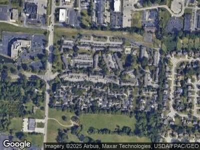
Map
Nearby Homes
- 187 McNaughten Rd
- 6426 Firethorn Ave
- 6266 Marias Point Ln
- 6227 Marias Point Ln
- 5917 Timber Dr
- 6074 Whitney Woods Ct
- 6610 Olivetree Ct
- 6056 Naughten Pond Dr
- 6052 Naughten Pond Dr
- 557 Woodingham Place Unit 1A
- 565 Big Ben Ln Unit B
- 6033 Naughten Pond Dr Unit 6033
- 547 Hawthorne Place
- 6165 Cenpac Ave
- 6345 Chetti Dr
- 6076 Pasqual Ave
- 5967 Naughten Pond Dr
- 631 Brice Rd
- 5993 Naughten Ridge Ct Unit 5993
- 672 Groton Place
- 6185 Stornoway Dr S
- 6183 Stornoway Dr S
- 6193 Stornoway Dr S Unit 6193
- 6181 Stornoway Dr S
- 6195 Stornoway Dr S
- 6179 Stornoway Dr S Unit 6179
- 6197 Stornoway Dr S
- 6177 Stornoway Dr S Unit 6177
- 6199 Stornoway Dr S Unit 6199
- 6175 Stornoway Dr S Unit 6175
- 6201 Stornoway Dr S
- 6173 Stornoway Dr S Unit 6173
- 6160 Stornoway Dr S Unit 6160
- 6194 Stornoway Dr S Unit 6194
- 6192 Stornoway Dr S Unit 6192
- 6203 Stornoway Dr S
- 6162 Stornoway Dr S Unit 6162
- 6190 Stornoway Dr S Unit 6190
- 6171 Stornoway Dr S
- 6188 Stornoway Dr S Unit II6188