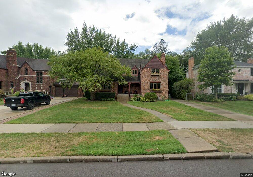
619 Barrington Rd Grosse Pointe Park, MI 48230
Estimated Value: $371,158 - $616,000
--
Bed
1
Bath
2,413
Sq Ft
$198/Sq Ft
Est. Value
About This Home
This home is located at 619 Barrington Rd, Grosse Pointe Park, MI 48230 and is currently estimated at $477,290, approximately $197 per square foot. 619 Barrington Rd is a home located in Wayne County with nearby schools including Carstens Academy of Aquatic Science, Edward 'Duke' Ellington Conservatory of Music and Art, and Charles L. Spain Elementary-Middle School.
Ownership History
Date
Name
Owned For
Owner Type
Purchase Details
Closed on
Nov 12, 2012
Sold by
Mackinnon Charles A and Hutton Martha N
Bought by
Mackinnon Charles A and Mackinnon Martha N
Current Estimated Value
Home Financials for this Owner
Home Financials are based on the most recent Mortgage that was taken out on this home.
Original Mortgage
$131,900
Interest Rate
3.35%
Mortgage Type
New Conventional
Create a Home Valuation Report for This Property
The Home Valuation Report is an in-depth analysis detailing your home's value as well as a comparison with similar homes in the area
Home Values in the Area
Average Home Value in this Area
Purchase History
| Date | Buyer | Sale Price | Title Company |
|---|---|---|---|
| Mackinnon Charles A | -- | None Available |
Source: Public Records
Mortgage History
| Date | Status | Borrower | Loan Amount |
|---|---|---|---|
| Closed | Mackinnon Charles A | $131,900 |
Source: Public Records
Tax History Compared to Growth
Tax History
| Year | Tax Paid | Tax Assessment Tax Assessment Total Assessment is a certain percentage of the fair market value that is determined by local assessors to be the total taxable value of land and additions on the property. | Land | Improvement |
|---|---|---|---|---|
| 2025 | $2,985 | $195,100 | $0 | $0 |
| 2024 | $2,985 | $181,100 | $0 | $0 |
| 2023 | $2,850 | $160,500 | $0 | $0 |
| 2022 | $2,708 | $148,700 | $0 | $0 |
| 2021 | $5,339 | $146,900 | $0 | $0 |
| 2019 | $5,494 | $133,800 | $0 | $0 |
| 2018 | $2,582 | $125,700 | $0 | $0 |
| 2017 | $6,069 | $96,600 | $0 | $0 |
| 2016 | $5,540 | $115,200 | $0 | $0 |
| 2015 | $9,662 | $110,300 | $0 | $0 |
| 2013 | $9,360 | $95,400 | $0 | $0 |
| 2012 | $2,646 | $100,800 | $29,700 | $71,100 |
Source: Public Records
Map
Nearby Homes
- 614 Pemberton Rd
- 709 Lakepointe St
- 709 Middlesex Rd
- 784 Barrington Rd
- 289 Manistique St
- 429 Manistique St
- 504 Alter Rd
- 225 Ashland St
- 487 Philip St
- 458 Marlborough St
- 15215 Windmill Pointe Dr
- 15345 Windmill Pointe Dr
- 388 Chalmers St
- 402 Chalmers St
- 14511 Harbor Island St
- 383 Chalmers St
- 847 Barrington Rd
- 15230 Windmill Pointe Dr
- 221 Chalmers St
- 709 Ashland St
- 623 Barrington Rd
- 613 Barrington Rd
- 631 Barrington Rd
- 328 Alter Rd
- 320 Alter Rd
- 605 Barrington Rd
- 336 Alter Rd
- 310 Alter Rd
- 342 Alter Rd
- 637 Barrington Rd
- 620 Barrington Rd
- 624 Barrington Rd
- 614 Barrington Rd
- 354 Alter Rd
- 610 Barrington Rd
- 632 Barrington Rd
- 643 Barrington Rd
- 604 Barrington Rd
- 638 Barrington Rd
- 623 Pemberton Rd